3 km away
Alphubel, 4206m
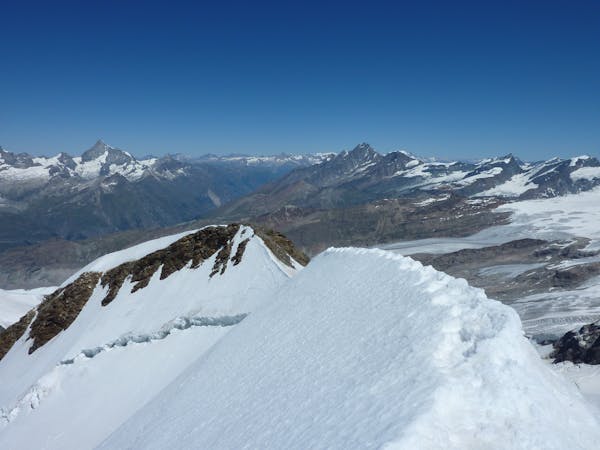
A long glacial journey up a complicated glacier to a remote summit.
Moderate Alpine Climbing
- Distance
- 7.5 km
- Ascent
- 1.3 km
- Descent
- 1.3 km

A great route traversing two 4000m peaks, with excellent rock towards the summit of the Nadelhorn
Alpine Climbing Difficult

This is a fine outing, conveniently done from and back to the Mischabel Hut. It is possibly the most common way of climbing the Lenzspitze, as downclimbing the ascent route is less interesting and much more tricky. It is also one of the most enjoyable and satisfying traverses in the area, so as a result is popular. The Lenzspitze is a very attractive peak, famed for its smooth NNE face, which is a popular snow climb early season, and has even been skied a number of times. Later in the season the NNE face turns to glacial ice as the spring snows melts or slides off the face, so is best avoided.
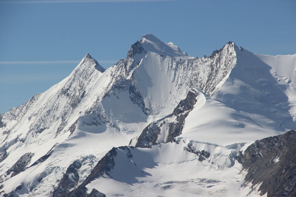
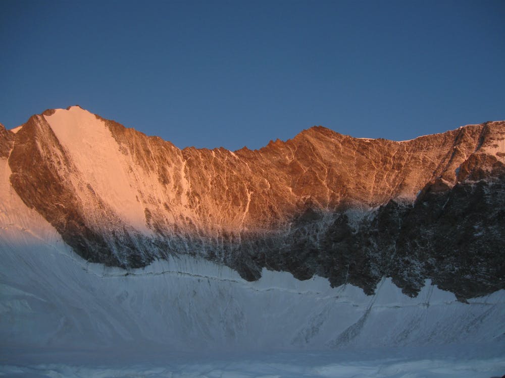
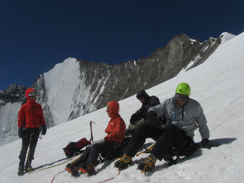
Like the Matterhorn, whose famous Hörnli Ridge also face a similar direction, dry conditions are highly recommended for this route, as it is much harder in crampons. Equally it is best avoided when the snowy sections have turned to ice, so August may well be too late in an average year.
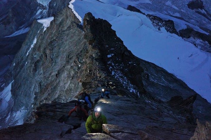
The ENE Ridge of the Lenzspitze starts up the path behind the hut, which you follow up to the Schwarzhorn, 3619m, then onto the wide snowy crest beyond. Take to rocks once again, passing pt 3814m, then you are on the main ridge. You have to climb over the Grande Gendarme, 4091m, which involves short sections of downclimbing or perhaps a short rappel. It becomes more snowy a little higher, leading to the summit of the Lenzspitze. The traverse lies before you and the rock gets better and better.
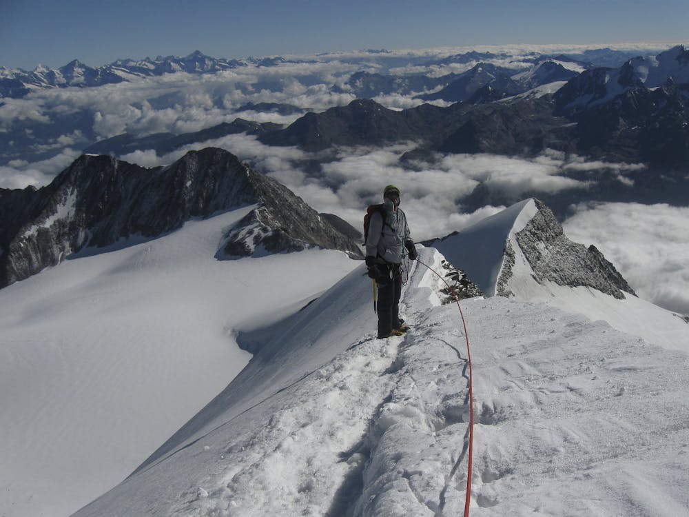
Descend the NW Ridge of the Lenzspitze over some rocky towers to the Nadeljoch, the lowest point between the two summits, at 4208m. From here the rock gets better and better and is lovely orange gneiss. There are a succession of small rocky towers all of which are climbed over, rather than round. They are well equipped with protection from their tops. The final climb to the summit of the Nadelhorn is on massive holds and is very enjoyable.
The descent of the Nadelhorn is much more straightforward than what you have done, to the Windjoch col at 3847m, then a glacial journey back to the final section down to the hut which you did in ascent.
Difficult
The beginning of truly technical terrain which might involve pitched climbing on rock and/or ice, exposed terrain and complex route finding in ascent and descent. Equivalent to AD, AD+
3 km away

A long glacial journey up a complicated glacier to a remote summit.
Moderate Alpine Climbing
4.3 km away
A famous and committing high altitude traverse between two mighty peaks
Severe Alpine Climbing
4.9 km away
A classic 4000m voyage ticking off 4 summits in day, each one higher than the previous
Difficult Alpine Climbing
5.6 km away
A long and impressive glacial journey to a remote summit, after a big hut approach the day before
Moderate Alpine Climbing
5.9 km away
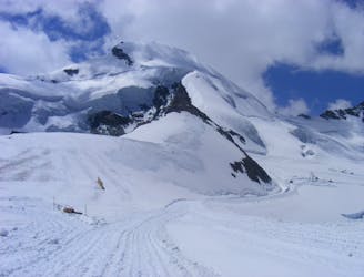
Possibly the easiest 4000er in the Alps which enjoys spectacular views
Easy Alpine Climbing
6.5 km away
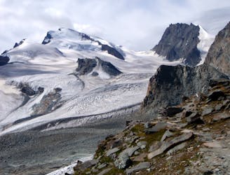
A long journey up a relatively straightforward snowy peak, popular in the spring too.
Moderate Alpine Climbing
6.5 km away
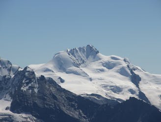
A beautiful summit with a characteristic sawtooth N Ridge, here climbed most easily from the opposite side.
Moderate Alpine Climbing
6.5 km away
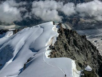
A classic route and an aesthetic line.
Moderate Alpine Climbing
7.9 km away
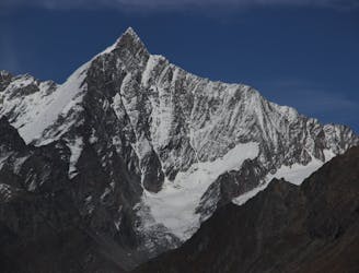
A fantastic, classic mountain ridge climb on one of the most demanding Alpine 4000ers
Difficult Alpine Climbing
8.3 km away
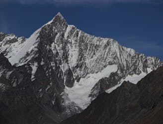
A very big day from Täschalp which can be split with a night in the Täsch Hut
Moderate Alpine Climbing
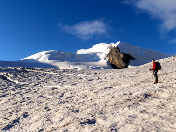
9 routes · Alpine Climbing · Hiking
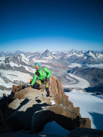
11 routes · Alpine Climbing · Hiking
10 routes · Alpine Climbing · Hiking
6 routes · Alpine Climbing · Hiking
10 routes · Alpine Climbing · Hiking
9 routes · Alpine Climbing · Hiking
20 routes · Alpine Climbing · Hiking