2.5 km away
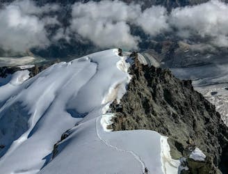
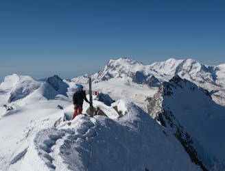
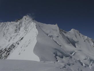
Täschhorn-Dom Traverse
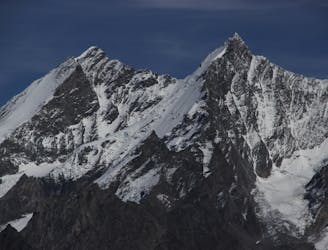
A famous and committing high altitude traverse between two mighty peaks
Severe Alpine Climbing
- Distance
- 7.8 km
- Ascent
- 894 m
- Descent
- 1.8 km
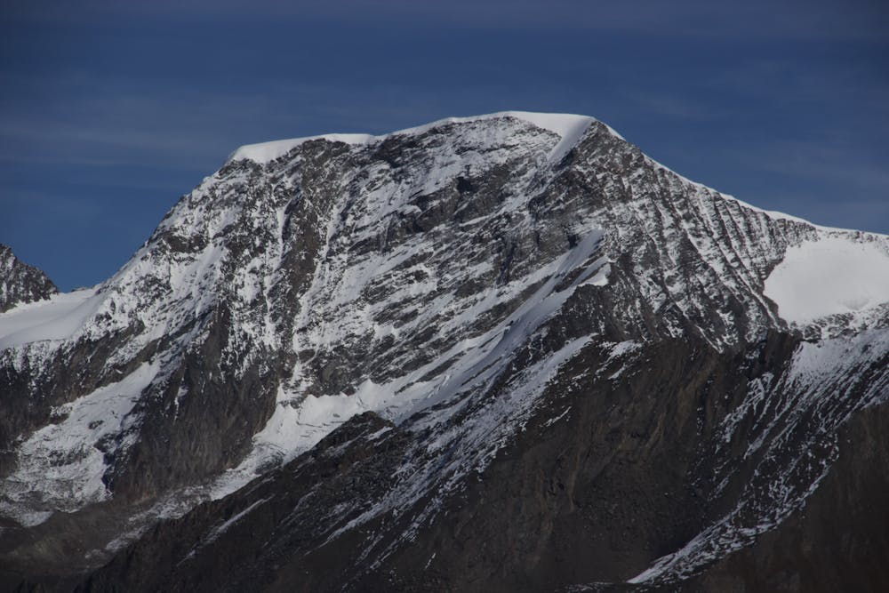
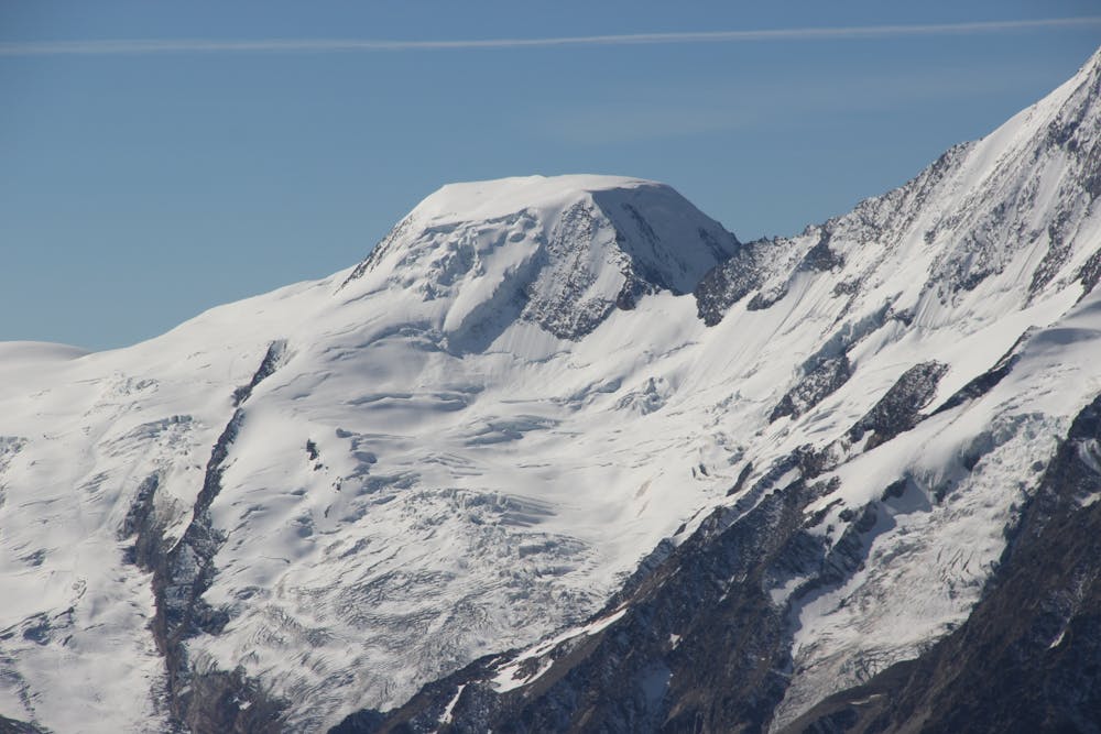
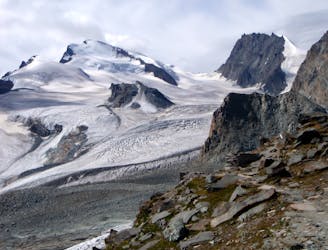
A long glacial journey up a complicated glacier to a remote summit.
Alpine Climbing Moderate

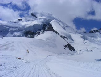
From the Längflue Hut head SSW then S up the Fee glacier, taking the line of least resistance, skirting crevasses as needed. This is slightly steeper between 3300m and 3550m, then easing off onto the upper section. Continue approximately S until about 3650m. Now angle to the R, avoiding the most crevassed ground, then heading NW, aiming for the final glacial slopes at about 3900m. These are steeper and may be icy and are the steepest part of the route. The slopes become more gentle as you curve L to arrive on the summit. Descent is either the reverse of your ascent, or you can traverse the Feechopf and then descend, joining the normal route for the Allalinhorn, to arrive at the Mittel Allalin lift.
Moderate
May involve slightly more complex glacier hikes, easy but possibly long rock ridges and steep snow up to 45 degrees. Equivalent to PD, PD+

The route is well protected or easy enough that protection is not required.

Away from help but easily accessed.
2.5 km away
A famous and committing high altitude traverse between two mighty peaks
Severe Alpine Climbing
2.9 km away
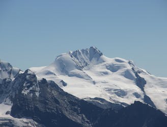
Possibly the easiest 4000er in the Alps which enjoys spectacular views
Easy Alpine Climbing
3 km away
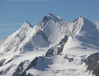
A great route traversing two 4000m peaks, with excellent rock towards the summit of the Nadelhorn
Difficult Alpine Climbing
4 km away
A classic route and an aesthetic line.
Moderate Alpine Climbing
4 km away
A long journey up a relatively straightforward snowy peak, popular in the spring too.
Moderate Alpine Climbing
4 km away
A beautiful summit with a characteristic sawtooth N Ridge, here climbed most easily from the opposite side.
Moderate Alpine Climbing
6.1 km away
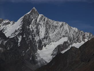
A fantastic, classic mountain ridge climb on one of the most demanding Alpine 4000ers
Difficult Alpine Climbing
6.4 km away
A long and impressive glacial journey to a remote summit, after a big hut approach the day before
Moderate Alpine Climbing
7 km away

A very big day from Täschalp which can be split with a night in the Täsch Hut
Moderate Alpine Climbing
7.7 km away
A classic 4000m voyage ticking off 4 summits in day, each one higher than the previous
Difficult Alpine Climbing

9 routes · Alpine Climbing · Hiking

11 routes · Alpine Climbing · Hiking

10 routes · Alpine Climbing · Hiking

6 routes · Alpine Climbing · Hiking

10 routes · Alpine Climbing · Hiking

9 routes · Alpine Climbing · Hiking

20 routes · Alpine Climbing · Hiking