1.7 km away
Approach to the Mischabeljoch Bivouac Hut
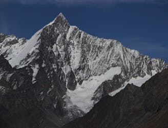
A very big day from Täschalp which can be split with a night in the Täsch Hut
Moderate Alpine Climbing
- Distance
- 8.2 km
- Ascent
- 1.8 km
- Descent
- 99 m

A fantastic, classic mountain ridge climb on one of the most demanding Alpine 4000ers
Alpine Climbing Difficult

From the hut, with a very early start, follow the path round the toe of the Rotgrat. Continue up the valley lying under the Wissgrat, heading over a small col at about 3140m. Gently drop down, skirting the Weingartensee lake, then join a path that has come direct up from the parking way below. Continue up the path then find a way onto the Weingarten Glacier, just below pt 3478m. Several variations exist, involving some scrambling. Head up the glacier, initially on the R side in ascent, then more towards the middle. The exact route will vary, so the marked line should not be exactly followed. This leads up to the very impressively positioned Mischabeljoch bivouac hut. It is perched on the ridge, firmly lashed down with cables that whistle ominously in the wind, in bad weather. Many choose this as their jumping off point for the day for the S Ridge, having spent the night there.
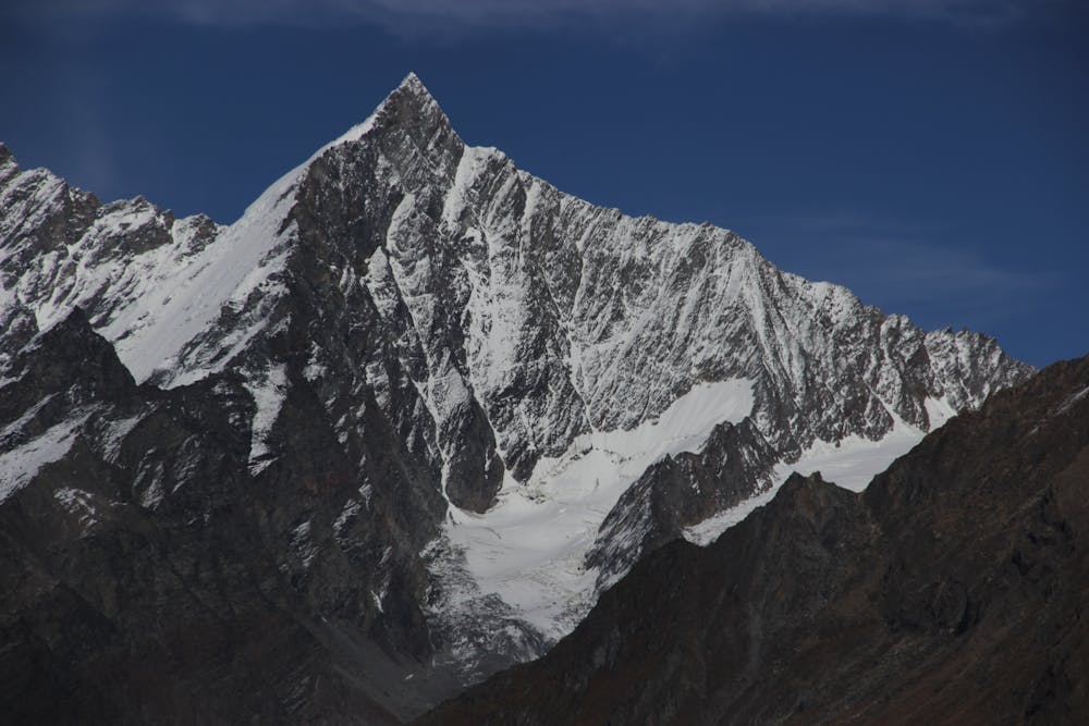
From the bivouac hut the route begins immediately after the col. It is mixed ground which is marked with cairns/traces of a path, skirting to the E of occasional steep rocky pillars, over the top of one tower at 3980m leading to pt 4175m. There is another route from the Täsch hut which meets at this point from the SW. If taking the latter route, not marked, you leave the Weingarten Glacier at about 3660m via a snowy couloir. This latter option is only likely to be good earlier in the season, after which it will be too dry.
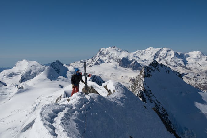
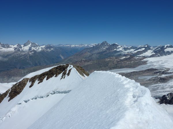
From pt 4175m onwards the ridge often becomes more snowy, in the early or very late season - beware of cornices which tend to form on the E side. This can be particularly bad near a couloir that drops to the E at about 4200m. Above this the snowy ridge continues until a final rocky steepening. Go diagonally R then straight up rocks (UIAA 2 and tricky if mixed) to the summit. Admire the spacewalking traverse that goes from here to Dom. This is an added level of commitment, greatly in excess of what you have done, on dubious rock in parts. Most satisfy themselves with the return trip down the way they came up. Another option is to traverse the Alphubel, from the bivi hut below, hence returning to the Saas lift system.
Difficult
The beginning of truly technical terrain which might involve pitched climbing on rock and/or ice, exposed terrain and complex route finding in ascent and descent. Equivalent to AD, AD+
1.7 km away

A very big day from Täschalp which can be split with a night in the Täsch Hut
Moderate Alpine Climbing
3.7 km away
A famous and committing high altitude traverse between two mighty peaks
Severe Alpine Climbing
5.8 km away
A long and impressive glacial journey to a remote summit, after a big hut approach the day before
Moderate Alpine Climbing
5.8 km away
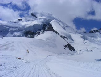
Possibly the easiest 4000er in the Alps which enjoys spectacular views
Easy Alpine Climbing
6.1 km away
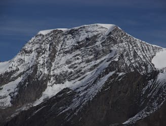
A long glacial journey up a complicated glacier to a remote summit.
Moderate Alpine Climbing
7.7 km away
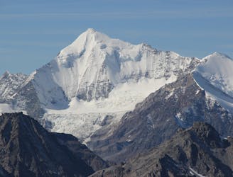
This is without doubt one of the finest ridges on one of the finest peaks in the Alps.
Difficult Alpine Climbing
7.9 km away
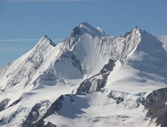
A great route traversing two 4000m peaks, with excellent rock towards the summit of the Nadelhorn
Difficult Alpine Climbing
8.2 km away
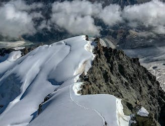
A classic route and an aesthetic line.
Moderate Alpine Climbing
8.2 km away
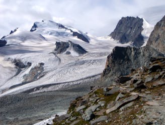
A long journey up a relatively straightforward snowy peak, popular in the spring too.
Moderate Alpine Climbing
8.2 km away
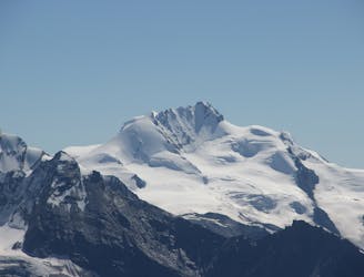
A beautiful summit with a characteristic sawtooth N Ridge, here climbed most easily from the opposite side.
Moderate Alpine Climbing
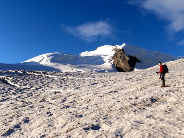
9 routes · Alpine Climbing · Hiking
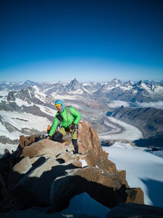
11 routes · Alpine Climbing · Hiking
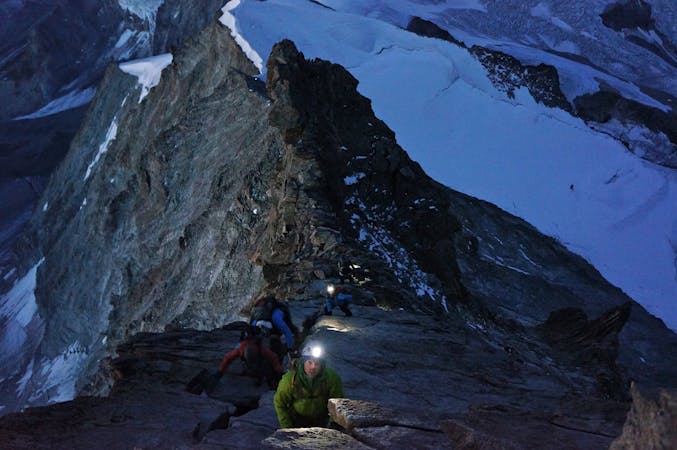
10 routes · Alpine Climbing · Hiking
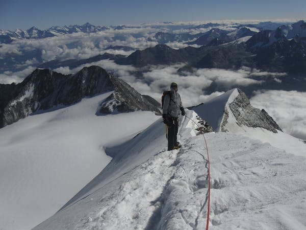
6 routes · Alpine Climbing · Hiking
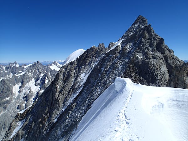
10 routes · Alpine Climbing · Hiking
9 routes · Alpine Climbing · Hiking
20 routes · Alpine Climbing · Hiking