FATMAP by Strava

Schönbiel Hut to Saas Almagell via Strahlhorn

Saas Fee

The Mischabel Range

A huge climb to a 4000m peak then a 2500m descent!

Ski Touring Difficult

Distance
40 km
Ascent
2.7 km
Descent
3.8 km
Duration
1 day +
Low Point
1.7 km
High Point
4.2 km
Gradient
25˚
Schönbiel Hut to Saas Almagell via Strahlhorn Map

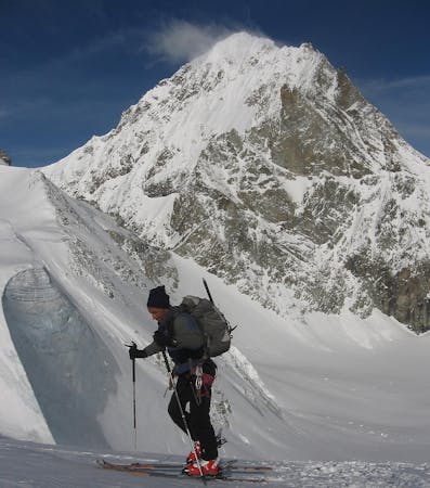
Traditionally the Haute Route ends in Zermatt, but a very logical continuation is onwards to the Saas Valley. Many will choose to do this route with lift assistance, starting from Fluealp, but if you can hack skinning up pistes, you can get the pure tick. The high col you need to cross, the Adlerpass, is only a few hundred metres below an ideal ski mountaineering peak, the Strahlhorn, so it is well worth doing this as well, to give you an enormous descent and an amazing panorama.

Description

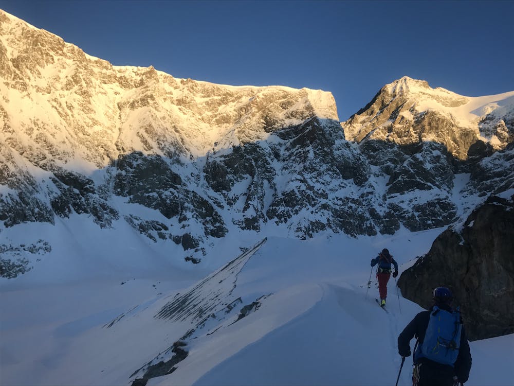
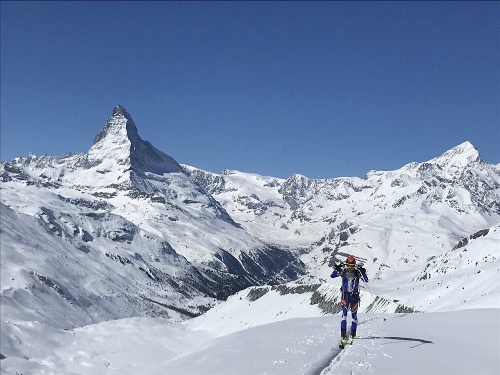
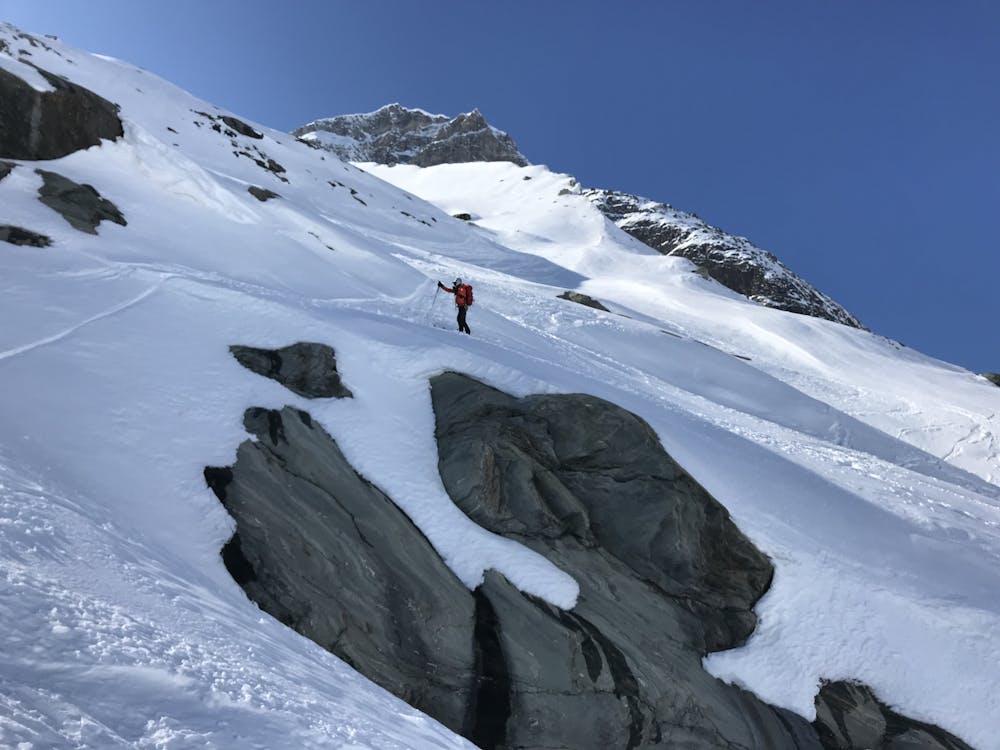
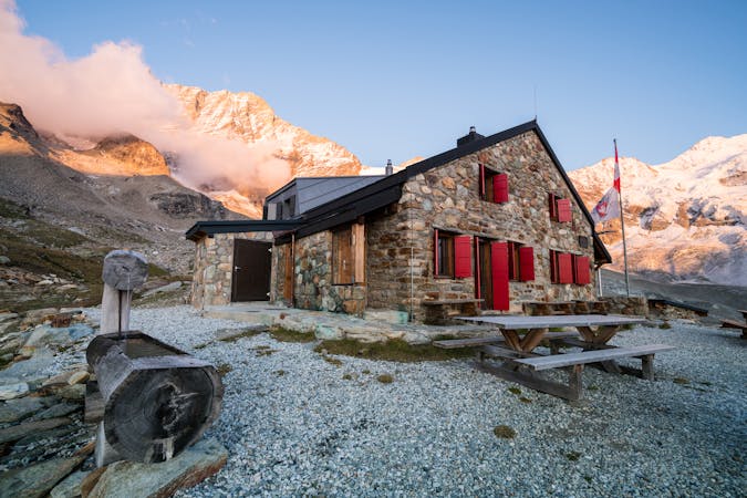
From the Schönbiel Hut you can either descend the way you climbed up to the hut, or more in the direction of Zermatt, down an ablation valley, then tracks, past Stafelalp, then down the pistes to Furi. We were early, so nobody spotted or minded us skinning up the pistes to Fluealp. You might get a disapproving look or two if you were later or, clearly, could shell out for a pass if needed. Once beyond Fluealp take to the wide open valley that slowly takes you up to the glacier towards the Adlerpass. This last section is quite steep, needs to be stable and may be on foot.

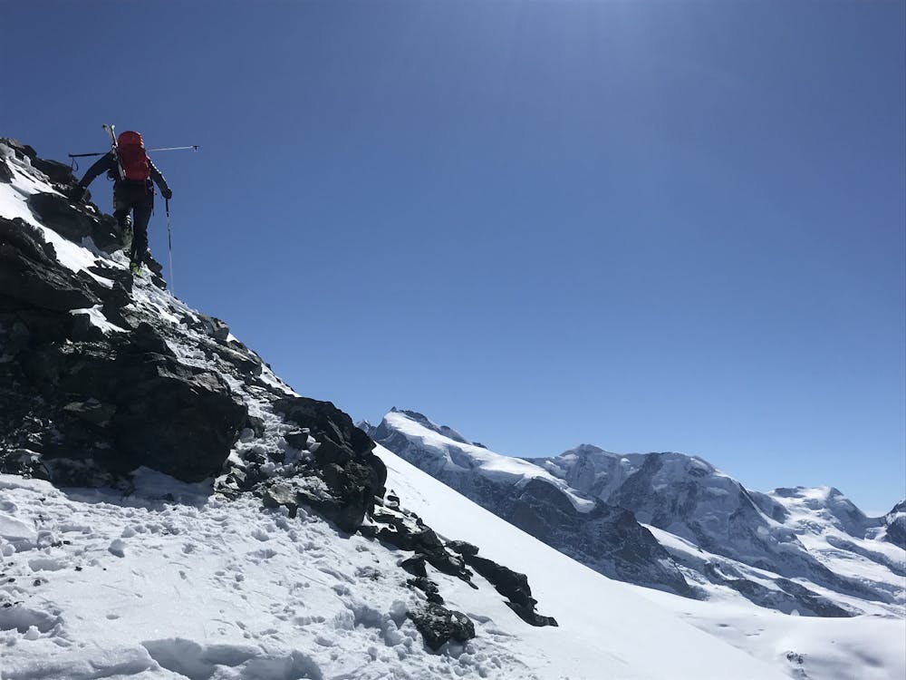
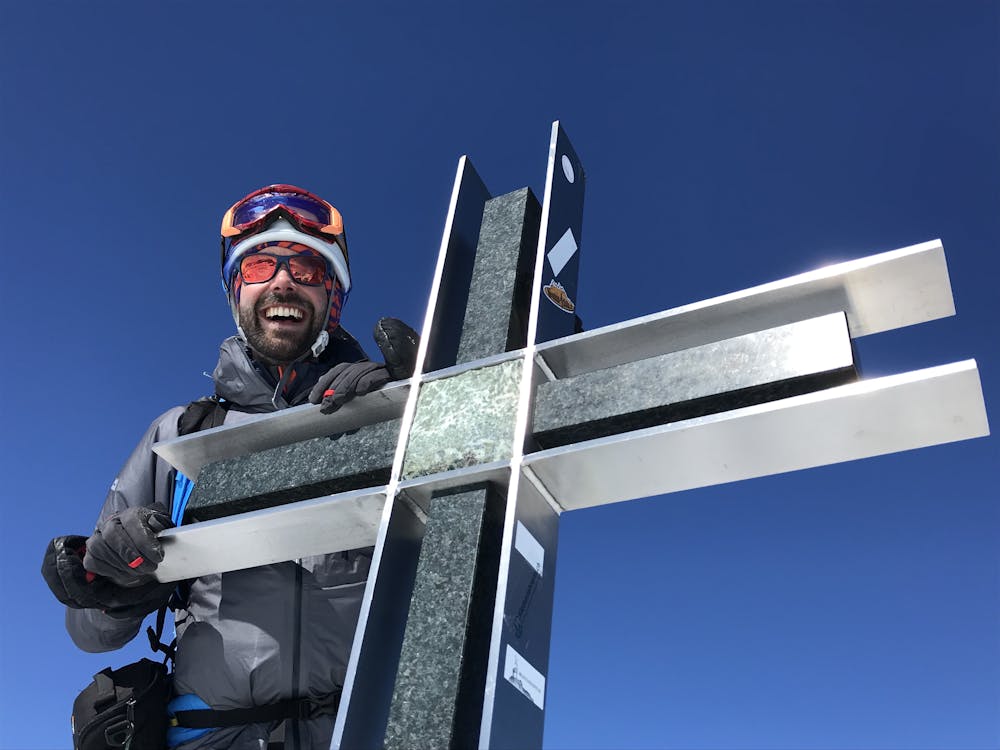
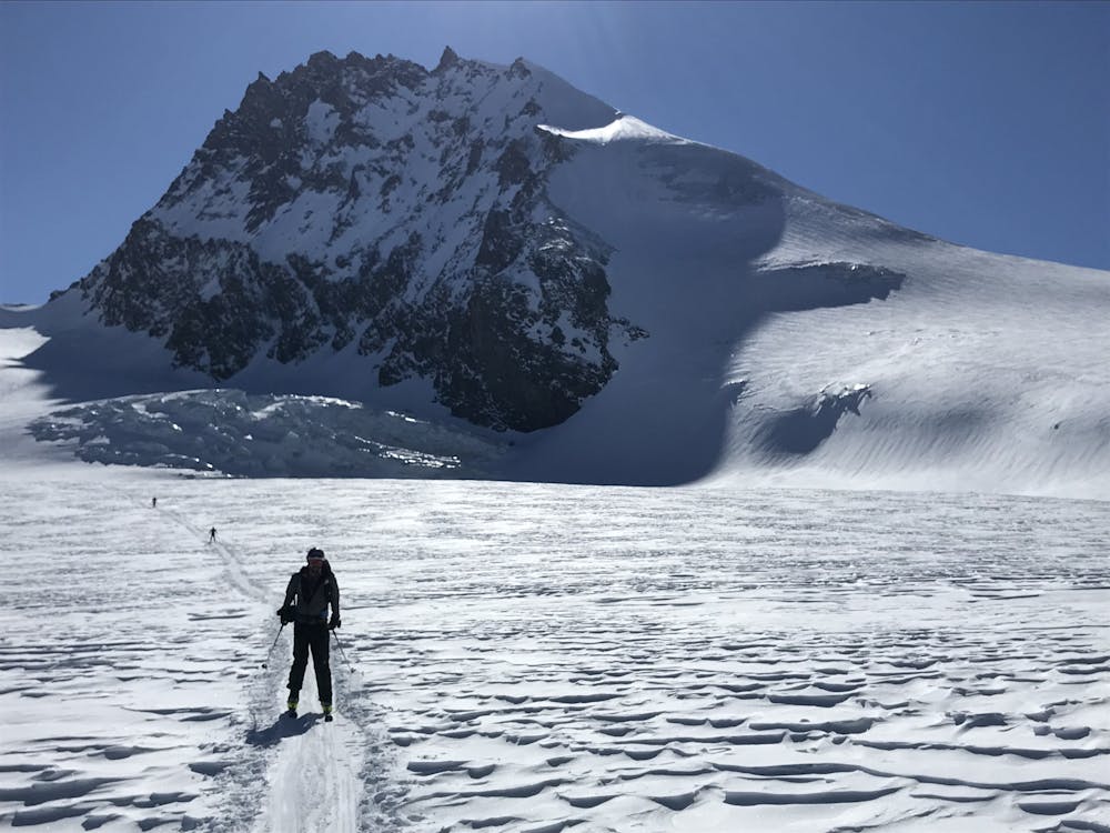
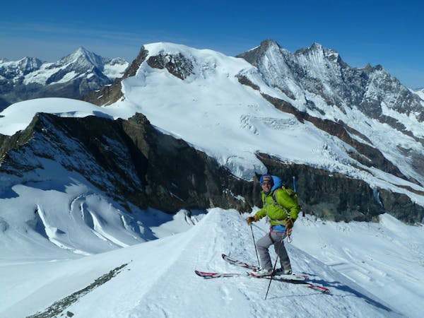
From the Adlerpass you can take to the easy ridge on foot, or in good conditions it is possible to skin to within a very short distance of the summit of the Strahlhorn, 4190m, climbing up the short final summit rocks. Monte Rosa is particularly fine from here and you look S to the Italian plains, usually covered by a sea of clouds. You can also see literally dozens of other 4000m peaks from here too.

Descent from here is pretty mellow, following the main motorway of tracks in the direction of the Britannia Hut, where most people have come from. That involves a climb, back up to the hut, so it is better to continue to descend down and R, to eventually join the track from the Stausee Mattmark to Saas Almagell.
Difficulty

Difficult

Serious gradient of 30-38 degrees where a real risk of slipping exists.

Medium Exposure (E2)

2 out of 4

As well as the slope itself, there are some obstacles (such as rock outcrops) which could aggravate injury.

Remoteness

3 out of 4

Little chance of being seen or helped in case of an accident.

Best time to visit

between March and May

Features

  • Alpine
  • Ski Mountaineering

Equipment required

  • Rope
  • Skins
  • Ice axe
  • Crampons
  • Glacier kit

Similar routes nearby

Guidebooks in this area