3.8 km away
Approach to the Almageller Hut
A scenic hike which puts you in position for further adventures.
Difficult Hiking
- Distance
- 6 km
- Ascent
- 1.2 km
- Descent
- 0 m
A very steep walk, luckily made shorter by the lift from Saas Fee
Hiking Extreme

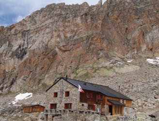
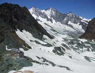
This is a very steep approach to a large hut, set high on the E ridge of the Lenzspitze. It is a comfortable hut and has great views to the Weissmies, the Lagginhorn and Fletschhorn. The hut has a nifty website that gives you an idea of the location and view. Most people will take the lift to Hannig from Saas Fee, to save several hundred metres of effort, as direct from the village is 1500m of very steep ascent, taking an hour longer.
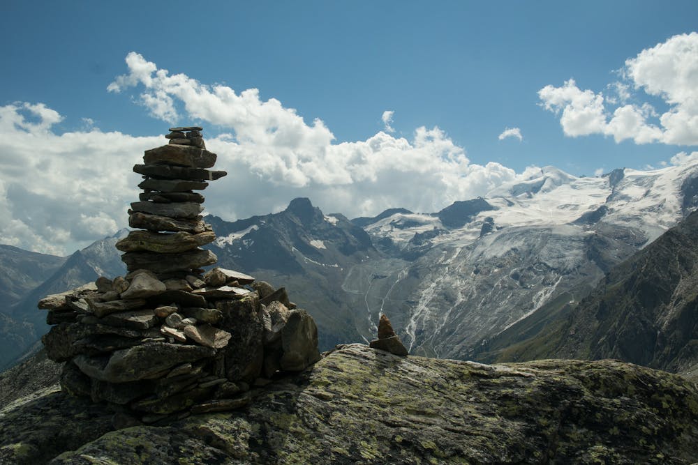
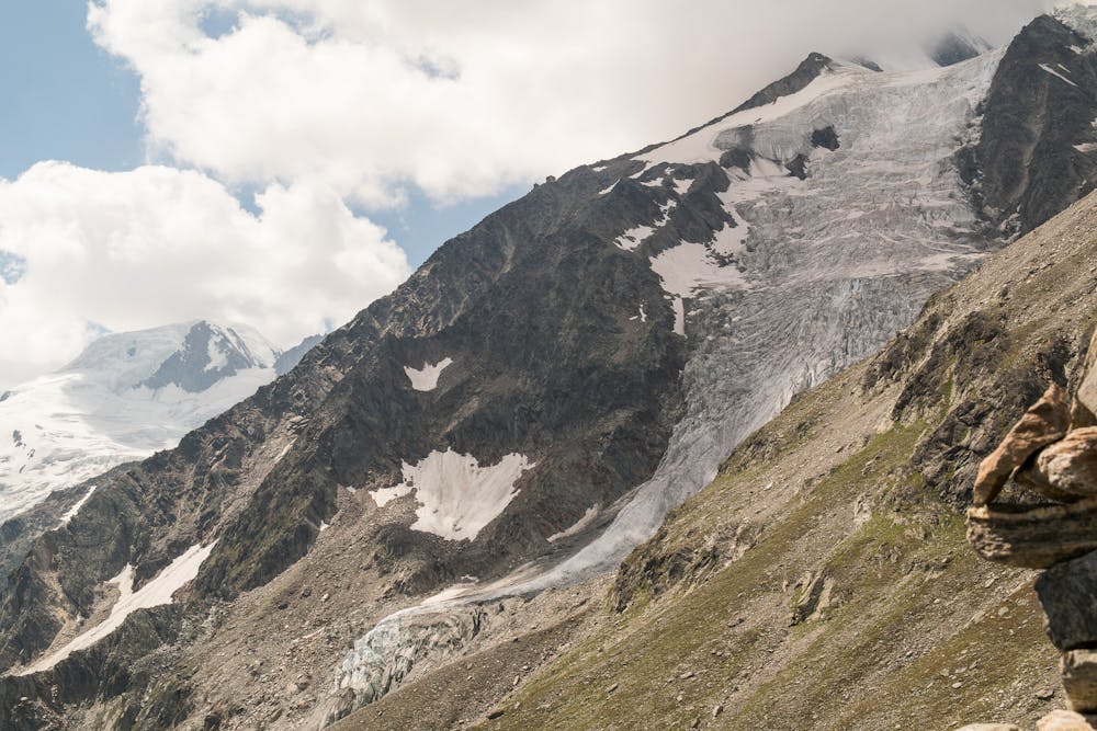
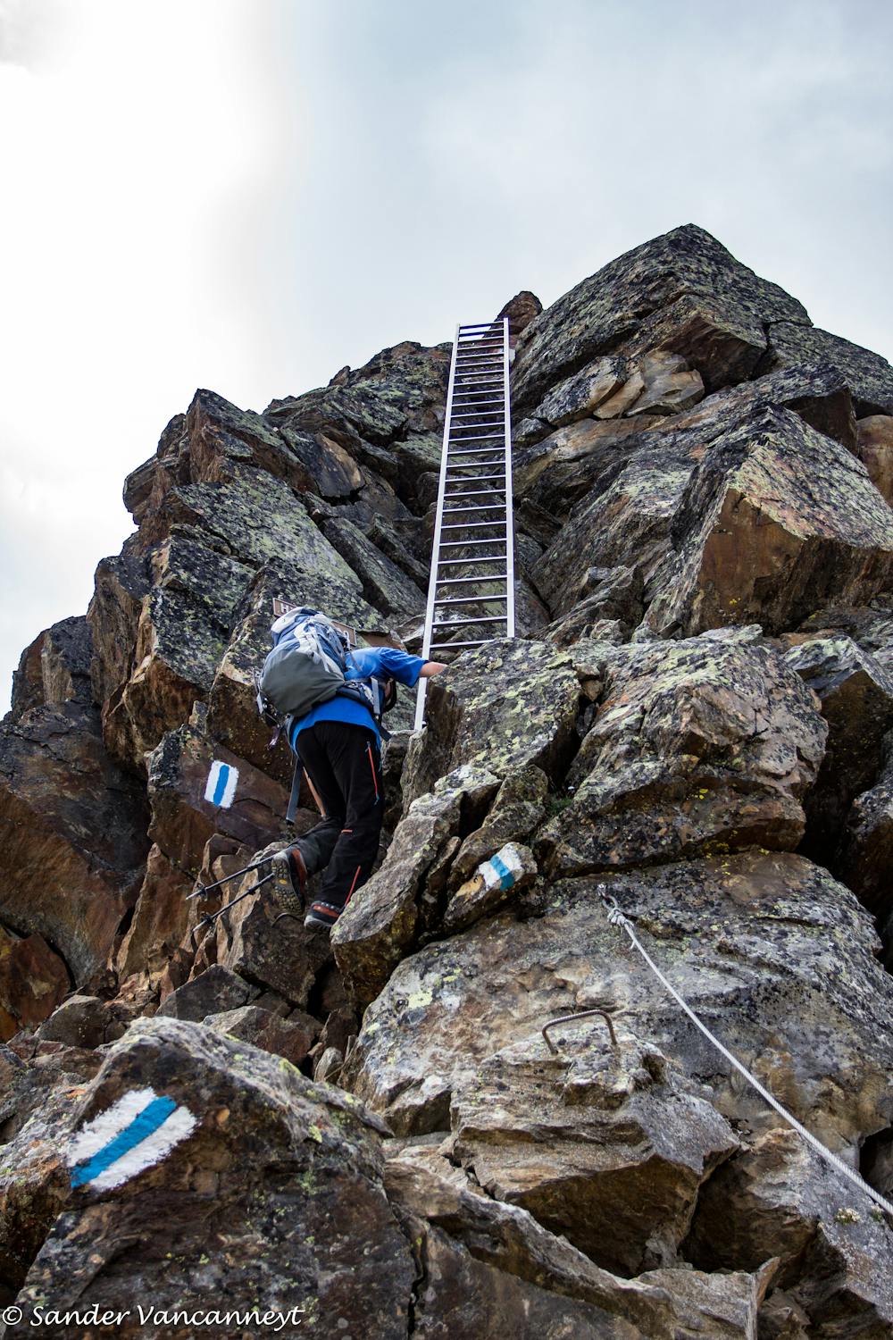
From Hannig, at 2339m, follow the trail that traverses L on a balcony path, rising gently, crossing several streams, then a few zig zags, to meet the path that has come direct up from Saas Fee, at 2418m. It then takes a rising traverse under the Oberes Distelhorn, before becoming more technical at about 2800m. It is known as the Huttenweg, and from here on up it's more akin to a via ferrata, being exposed and featuring fixed wires and ladders. It is well marked and the rock is solid, but it is wise to wear a helmet from here on up to the hut.
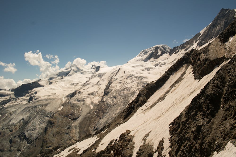
Most people from the hut will be climbing one or more of the surrounding 4000m peaks. The easiest is the Nadelhorn, which is a pleasant climb. More challenging, and a fantastic classic route, is the Lenzspitze, followed by the high altitude traverse to the Nadelhorn. A final common traverse is the Nadelgrat which, from the Nadelhorn, takes in a chain of minor 4000m peaks heading NW.
Extreme
Scrambling up mountains and along technical trails with moderate fall exposure. Handholds are necessary to navigate the trail in its entirety, although they are not necessary at all times. Some obstacles can be very large and difficult to navigate, and the grades can often be near-vertical. The challenge of the trail and the steepness of the grade results in very strenuous hiking. Hikes of this difficulty blur the lines between "hiking" and "climbing".

Some trail sections have exposed ledges or steep ascents/descents where falling could cause serious injury.

Away from help but easily accessed.
3.8 km away
A scenic hike which puts you in position for further adventures.
Difficult Hiking
5.2 km away
A short trip to a well positioned hut.
Moderate Hiking

9 routes · Alpine Climbing · Hiking

6 routes · Alpine Climbing · Hiking