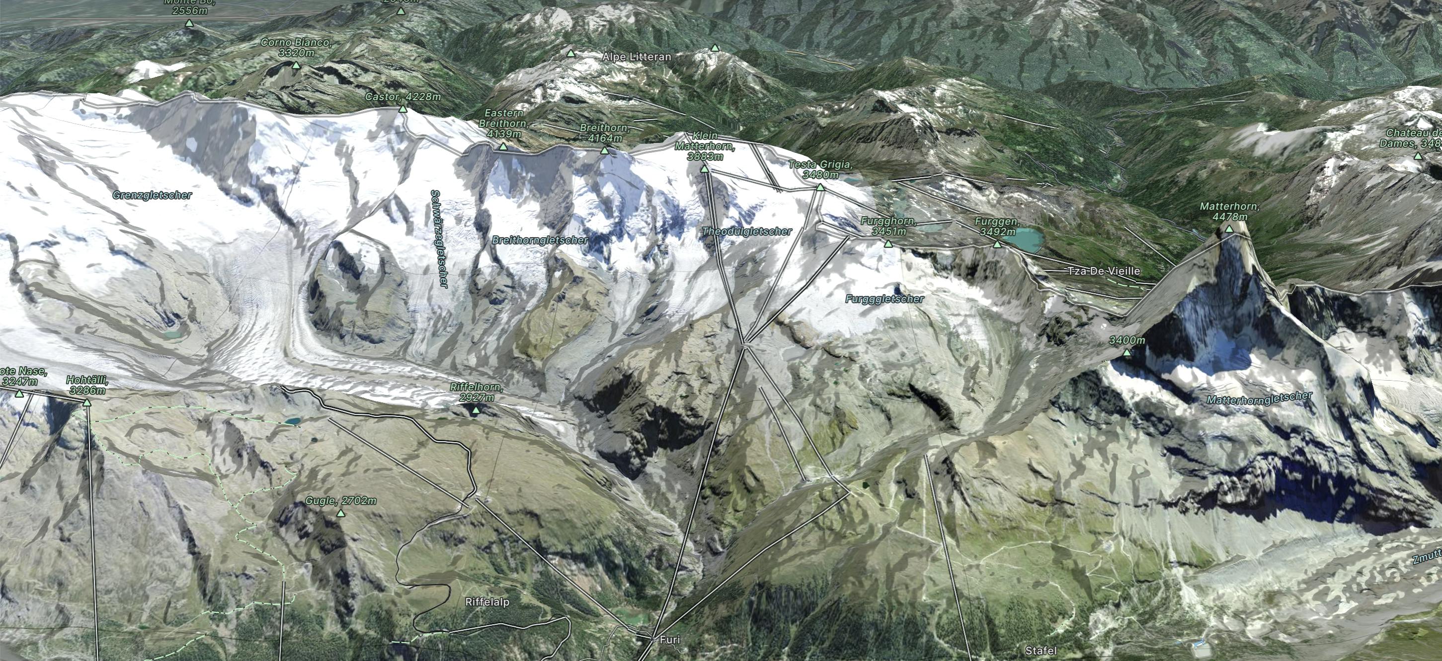
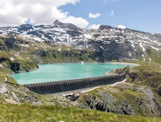
Gandeghütte - Breithorn - Trockener Stegg

Gandeghütte - Breithorn - Trockener Stegg
Extreme Hiking
- Distance
- 17 km
- Ascent
- 1.2 km
- Descent
- 1.3 km
Go hiking in Zermatt - Breuil-Cervinia with curated guides of the best hikes across the region. With over 103 3D trail maps in FATMAP, you can easily discover and navigate the best trails in Zermatt - Breuil-Cervinia.
No matter what your next adventure has in store, you can find a guide on FATMAP to help you plan your next epic trip.
Get a top hiking trail recommendation in Zermatt - Breuil-Cervinia from one of our 22 guidebooks, or get inspired by the 103 local adventures uploaded by the FATMAP community. Start exploring now!
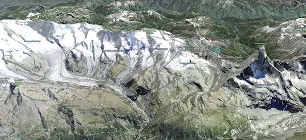
Gandeghütte - Breithorn - Trockener Stegg
Extreme Hiking

Gandeghütte - Breithorn - Trockener Stegg
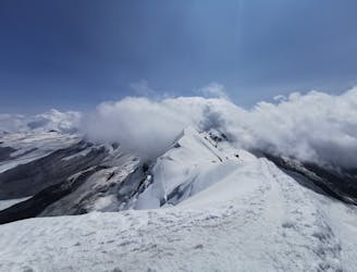
Severe Hiking

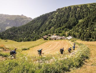
Schönbielhütte - Hörnlihütte - Gandegghütte
Severe Hiking
Tour de 5 ou 6 jours pour alpinistes en quête de vues à couper le souffle, au coeur des 4000 du Mont Rose. De refuge en refuge, évolution sur glacier, une vraie semaine d’aventure !
Difficult Hiking
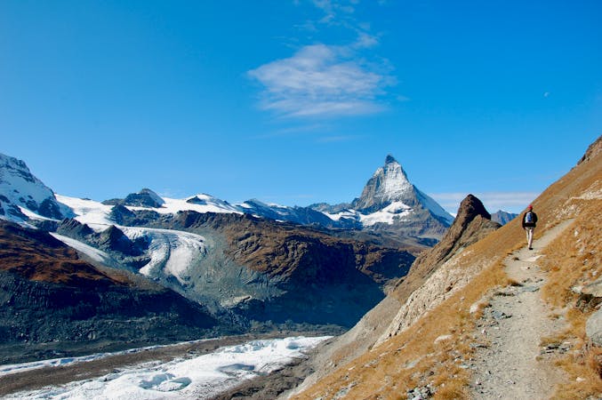
Family friendly walk with incredible views of the Matterhorn
Easy Hiking
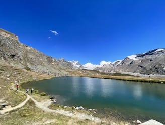
great alpine hiking around lake goillet
Moderate Hiking

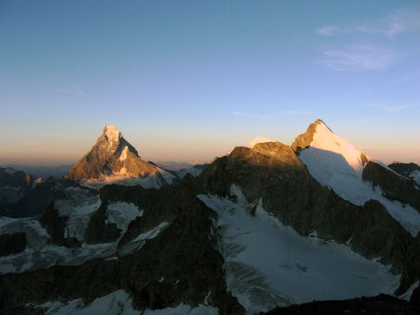
Complete Haute Route - By Pygmy Elephant Travel
Difficult Hiking
Total walking time: 3-4 hour, 150m of ascent, 800m of descent.
Easy Hiking
6 routes · Alpine Climbing · Hiking
10 routes · Hiking

11 routes · Alpine Climbing · Hiking

6 routes · Alpine Climbing · Hiking

10 routes · Alpine Climbing · Hiking

9 routes · Alpine Climbing · Hiking

20 routes · Alpine Climbing · Hiking