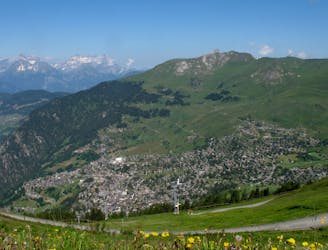
Savoleyeres - Patier
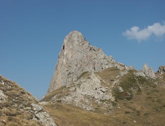
A medium to long walk via Pierre Avoi and Chute des Bisse across a fantastic ridge line that ends at a 360 view of Val de Bagnes and the Rhone Valley.
Difficult Hiking
- Distance
- 7.7 km
- Ascent
- 309 m
- Descent
- 1 km
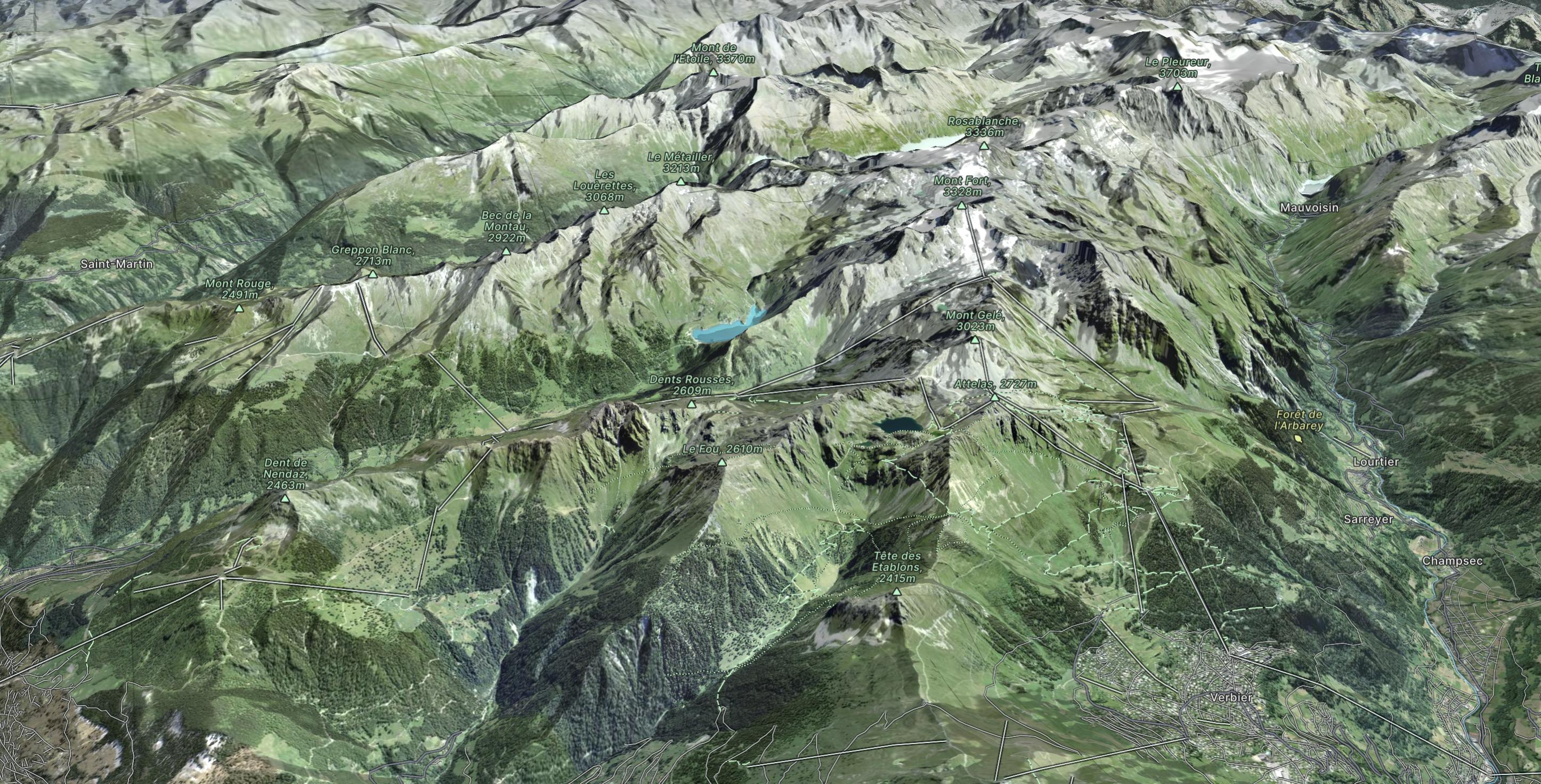
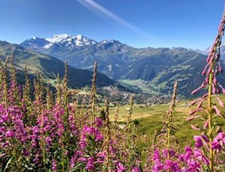
As one of the largest ski areas in Europe, Verbier exists as both a top-class ski resort and cosmopolitan get-away. This combination has drawn many a skier & snowboarder, regardless of their experience level, as well as those looking for a lively nightlife. A premiere off-piste ski area with infamous runs such as the Back-Side of Mont Fort.
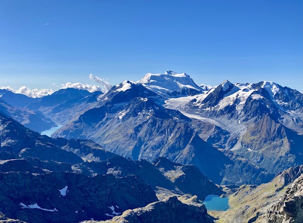
Go hiking in Verbier with curated guides of the best hikes across the region. With over 143 3D trail maps in FATMAP, you can easily discover and navigate the best trails in Verbier.
No matter what your next adventure has in store, you can find a guide on FATMAP to help you plan your next epic trip.
Get a top hiking trail recommendation in Verbier from one of our 16 guidebooks, or get inspired by the 143 local adventures uploaded by the FATMAP community. Start exploring now!
A medium to long walk via Pierre Avoi and Chute des Bisse across a fantastic ridge line that ends at a 360 view of Val de Bagnes and the Rhone Valley.
Difficult Hiking
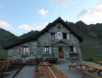
A short walk Around La Chaux including Cabane Mont Fort.
Moderate Hiking
A gentle walk along a mostly flat route with the sound of running water alongside you for the entirety.
Easy Hiking
A great hike for circumnavigating sunny Verbier. 12 km 530m 3:30 - 4:30 hrs approx. 3/5 difficulty.
Difficult Hiking

A gentle hike with fantastic views and sculptures along the route. 2.5 km 0m 25-45 min one way. 1/5 difficulty
Easy Hiking

Beautiful path weaving through the forests around Verbier. 7 km 434 m 2-3 hrs approx. 3/5 difficulty.
Moderate Hiking

An uphill hike from the valley floor to Verbier. 4 km 630 m 0:50 - 1:30 hrs approx. 4/5 difficulty.
Difficult Hiking
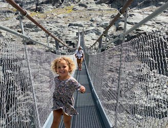
Hiking tour from Cabane Brunet, up to the col des Avouillons, down to the Passerelle de glacier de Corbassière before back for a beer at Cabane Brunet
Difficult Hiking
5 routes · Hiking