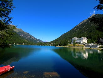
3.1 km away
Bisse du Levron
A gentle walk along a mostly flat route with the sound of running water alongside you for the entirety.
Easy Hiking
- Distance
- 18 km
- Ascent
- 457 m
- Descent
- 457 m
An uphill hike from the valley floor to Verbier. 4 km 630 m 0:50 - 1:30 hrs approx. 4/5 difficulty.
Hiking Difficult

4 km 630 m 0:50 - 1:30 hrs approx. 4/5 difficulty. A purely uphill hike for those wanting to test themselves against the elevation. Starting from Le Chable in the valley, the hiking trail leads you upwards and upwards until you reach Verbier town. Travelling partly along an old roman road the trail weaves through the cute village of Cotterg, through small fields and then into the forest. Walking poles definitely help with this ascent. Do it for time and feel the leg burn, or take it at your own leisurely pace. If you would like gear recommendations then come and see us at Mountain Air in Verbier or find a great selection of hiking products on line: https://mountainairverbier.com/en/
and we highly recommend Lottie as a local guide: https://www.lottiepridham.com
Difficult
Hiking trails where obstacles such as rocks or roots are prevalent. Some obstacles can require care to step over or around. At times, the trail can be worn and eroded. The grade of the trail is generally quite steep, and can often lead to strenuous hiking.

The path is on completely flat land and potential injury is limited to falling over.
Close to help in case of emergency.
3.1 km away
A gentle walk along a mostly flat route with the sound of running water alongside you for the entirety.
Easy Hiking
3.1 km away
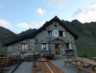
A short walk Around La Chaux including Cabane Mont Fort.
Moderate Hiking
4.6 km away
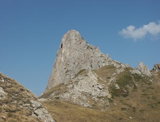
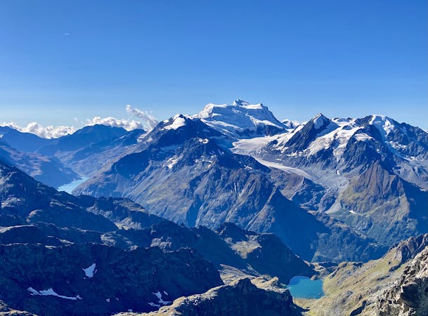
A medium to long walk via Pierre Avoi and Chute des Bisse across a fantastic ridge line that ends at a 360 view of Val de Bagnes and the Rhone Valley.
Difficult Hiking
9.6 km away
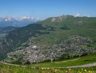
Day 8: A long, winding traverse through alpine meadows perched high above the Rhône Valley.
Difficult Hiking

14 routes · Hiking
5 routes · Hiking