1 m away
Bisse du Levron
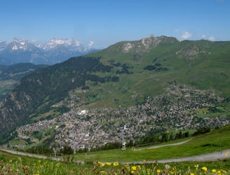
A gentle walk along a mostly flat route with the sound of running water alongside you for the entirety.
Easy Hiking
- Distance
- 18 km
- Ascent
- 457 m
- Descent
- 457 m

A short walk Around La Chaux including Cabane Mont Fort.
Hiking Moderate

This easy walk from Runinettes to Cabin Mont Fort and back takes you across the winter ski slopes of La Chaux with great views of the Petit Combin, Grand Combin, Bec Des Rosses, and Mont Fort. As you walk around from Runinettes, you can look at art exhibitions from local sculptors and artists. Reaching Cabin Montfort take in the fabulous views of the surrounding mountains and maybe stop for lunch.
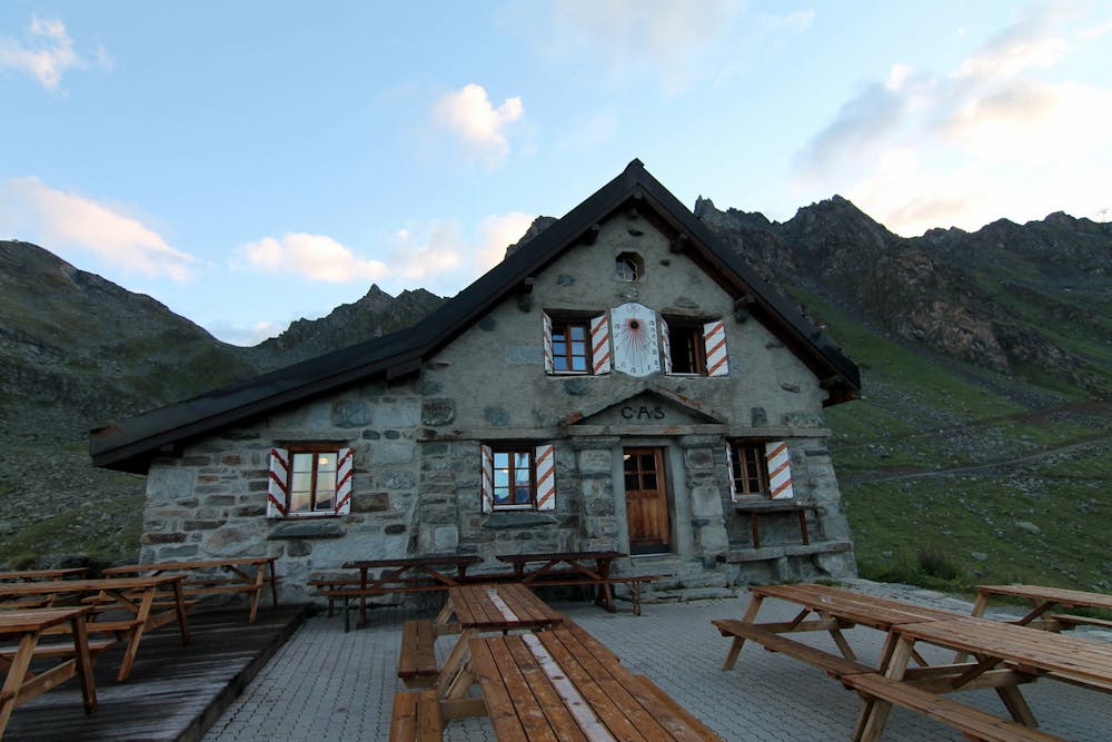
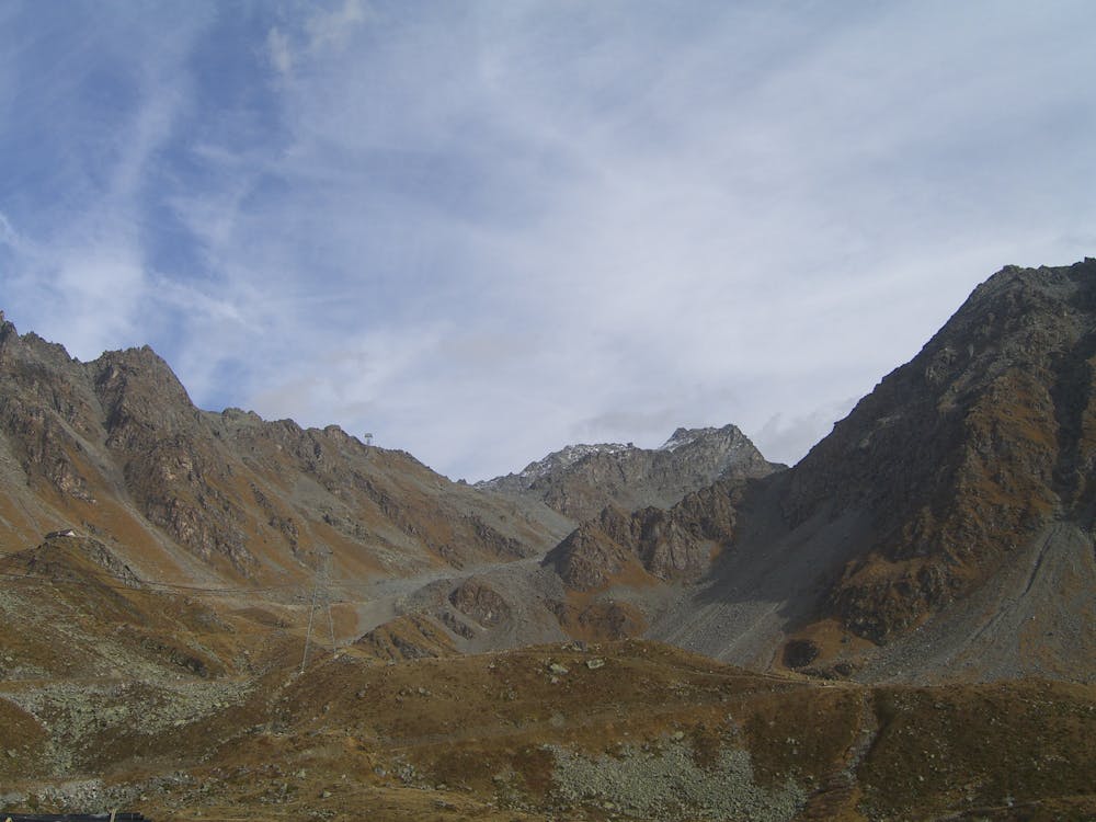
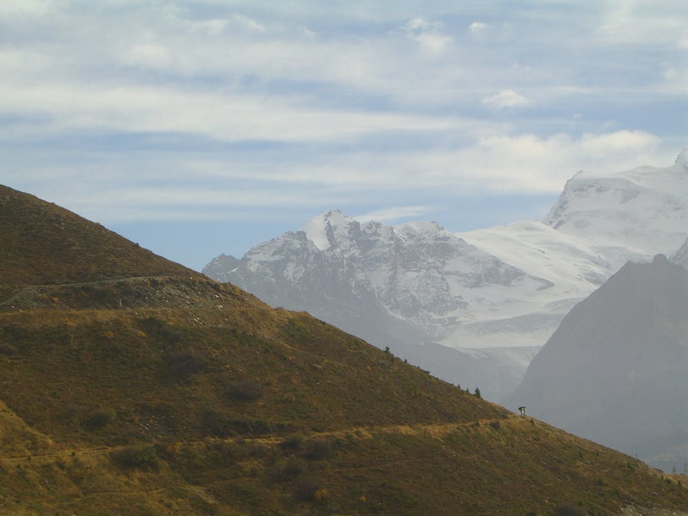
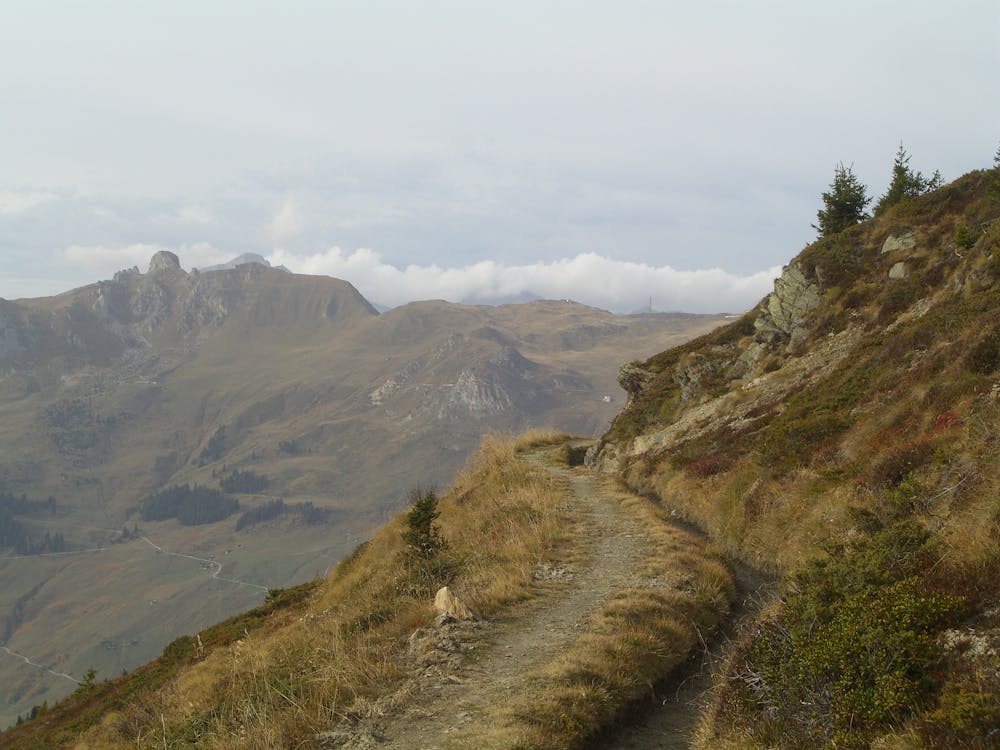
When leaving the Ruinettes lift station, head southeast along a gravel road until you reach the bottom of La Chaux, walk towards the jumbo lift station, and join a path to the left of the station signposted in yellow to Cabin Mont Fort. Follow the path up until reaching the cabin.
With the cabin behind you, head left onto the gravel road and walk along the rocky field until reaching a junction with a tunnel and turn right. You will still be on the gravel road and walking towards the ski fields of the M25 and Chalet Carlsberg. Head down, and you will finish at the lift station of Ruinettes.
Moderate
Hiking along trails with some uneven terrain and small hills. Small rocks and roots may be present.
1 m away

A gentle walk along a mostly flat route with the sound of running water alongside you for the entirety.
Easy Hiking
3.8 km away
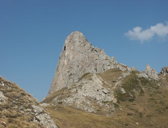
A medium to long walk via Pierre Avoi and Chute des Bisse across a fantastic ridge line that ends at a 360 view of Val de Bagnes and the Rhone Valley.
Difficult Hiking
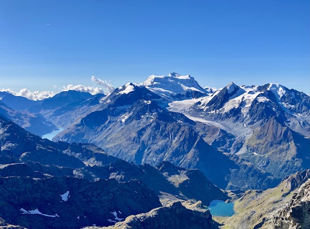
5 routes · Hiking