3.8 km away
Bisse du Levron
A gentle walk along a mostly flat route with the sound of running water alongside you for the entirety.
Easy Hiking
- Distance
- 18 km
- Ascent
- 457 m
- Descent
- 457 m
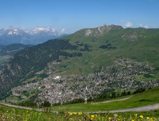
A medium to long walk via Pierre Avoi and Chute des Bisse across a fantastic ridge line that ends at a 360 view of Val de Bagnes and the Rhone Valley.
Hiking Difficult

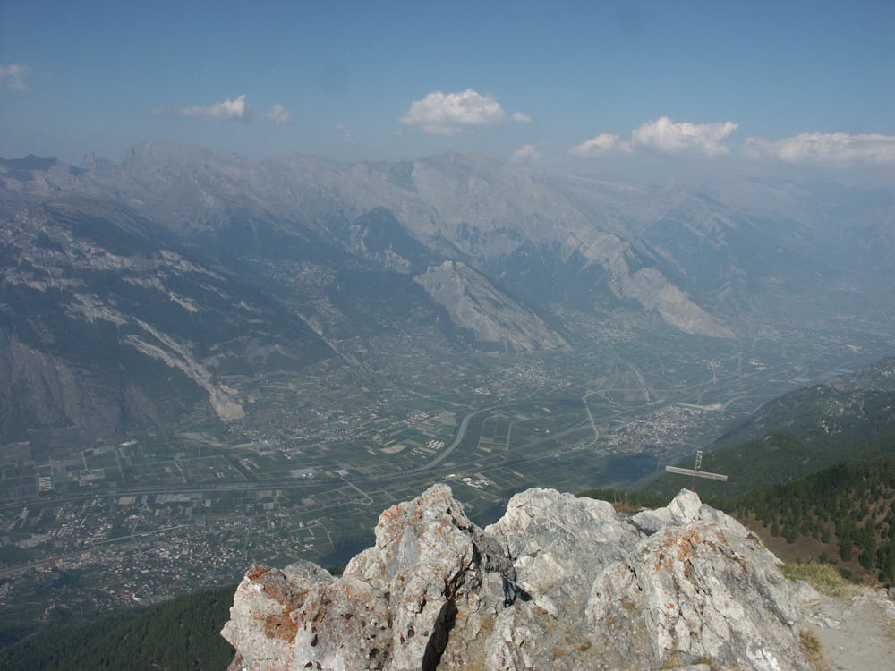
The main focus of this hike is reaching the top of Pierre Avoi. If you are afraid of heights and steep sections, then the summit of Pierre Avoi is not for you. You will take in various views of Verbier and the other side looking down on the Rhone Valley floor.
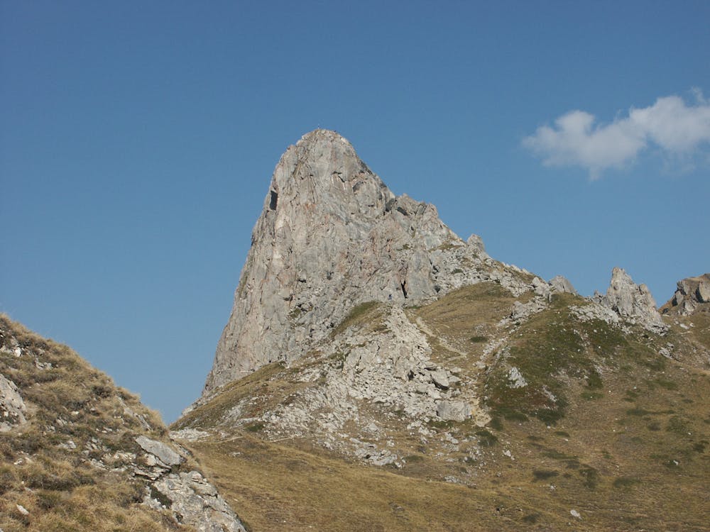
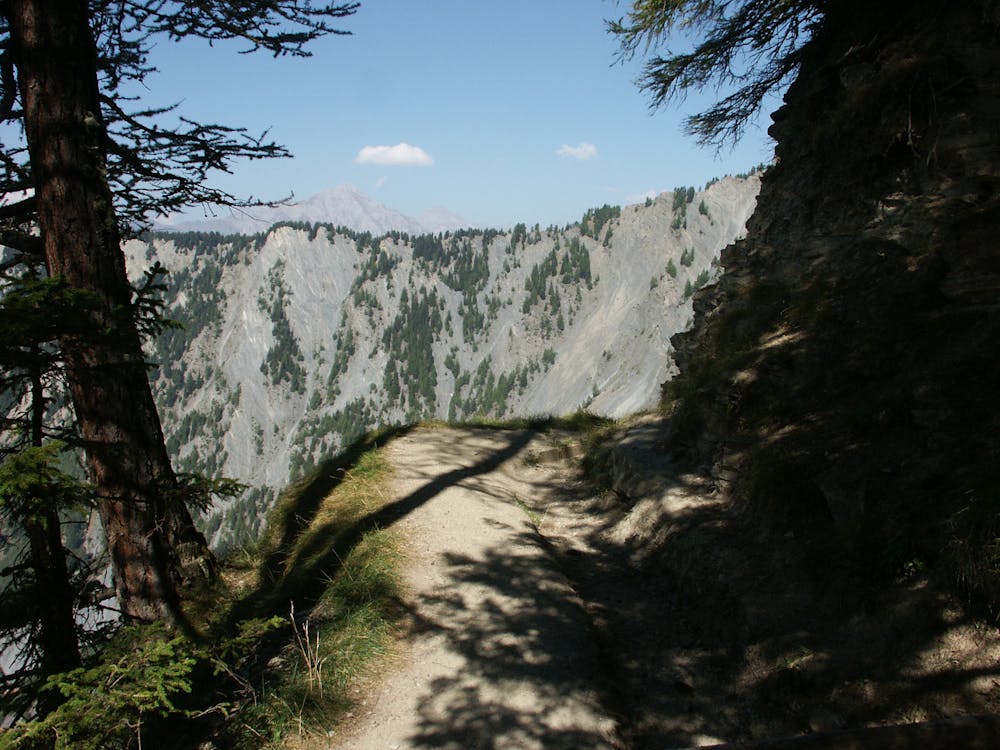
At the top of Savoleyres lift station, you head west along the designated path. The path takes you on a level gradient and then, upon reaching a steep section, follow it up to the avalanche barriers/nets. You follow the path along until reaching the tricky section up to the summit of Pierre Avoi. Various ladders and metal grids have been put in to help you with your ascent; please use all of these. The rock can be slippy even when dry.
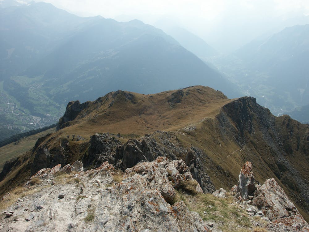
When you have to come back down, you will keep heading west (as if you didn't go up the summit) and you follow the path down the ridgeline. You will pass more avalanche nets and through large fields.
Descending from Pierre Avoi, you encounter lush green fields heading towards the tree line with a magnificent view of mountain valleys as your backdrop. Heading into the trees, you hear nothing but the creaking of bark.
There is another viewpoint where the water ends and shoots off the edge of the mountain to create a waterfall. There is a small viewing point where you can actually stand above the flight of the water as it goes down.
You then join up with a more substantial path that takes you to the road and civilization. Take the picturesque route down through the fields and into the trees on your way back down to Verbier.
Difficult
Hiking trails where obstacles such as rocks or roots are prevalent. Some obstacles can require care to step over or around. At times, the trail can be worn and eroded. The grade of the trail is generally quite steep, and can often lead to strenuous hiking.
3.8 km away
A gentle walk along a mostly flat route with the sound of running water alongside you for the entirety.
Easy Hiking
3.8 km away
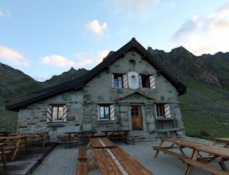
A short walk Around La Chaux including Cabane Mont Fort.
Moderate Hiking
5 routes · Hiking