1 m away
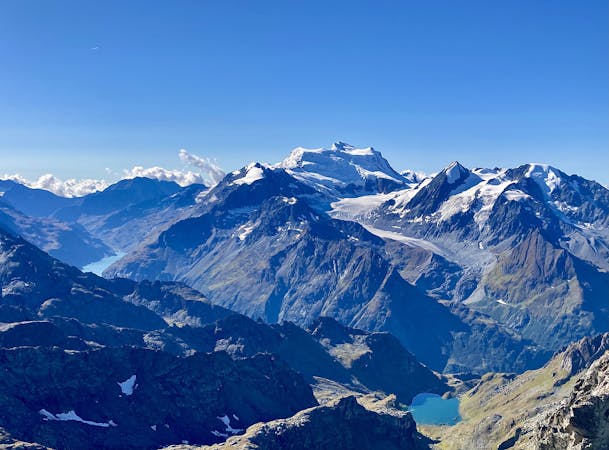
Ruinettes-La Chaux-Cabane Mont Fort-Ruinettes
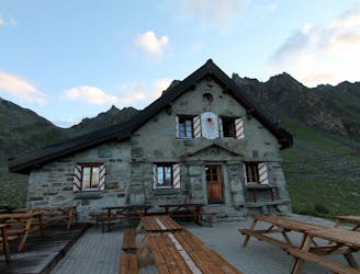
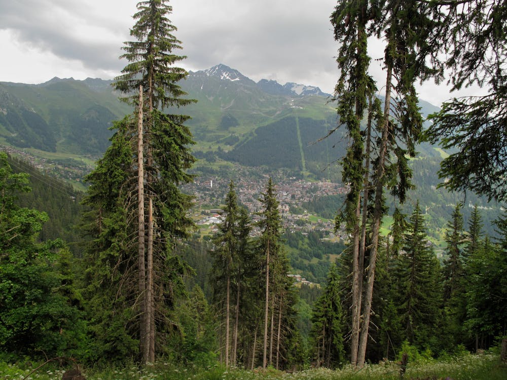
A short walk Around La Chaux including Cabane Mont Fort.
Moderate Hiking
- Distance
- 9 km
- Ascent
- 419 m
- Descent
- 420 m
A gentle walk along a mostly flat route with the sound of running water alongside you for the entirety.
Hiking Easy

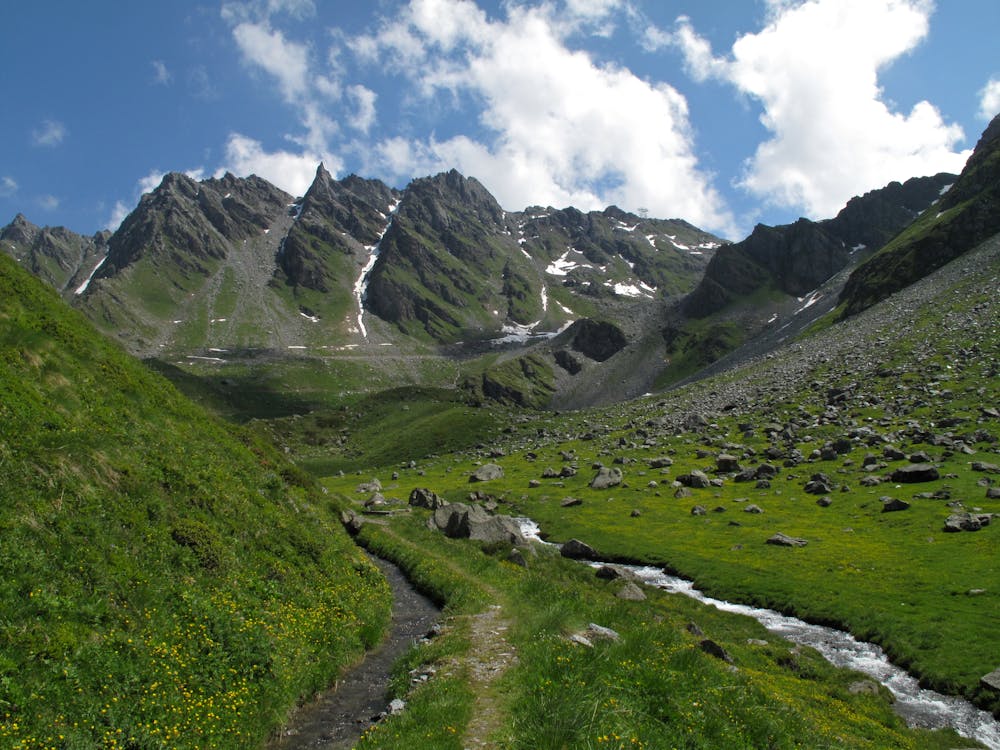
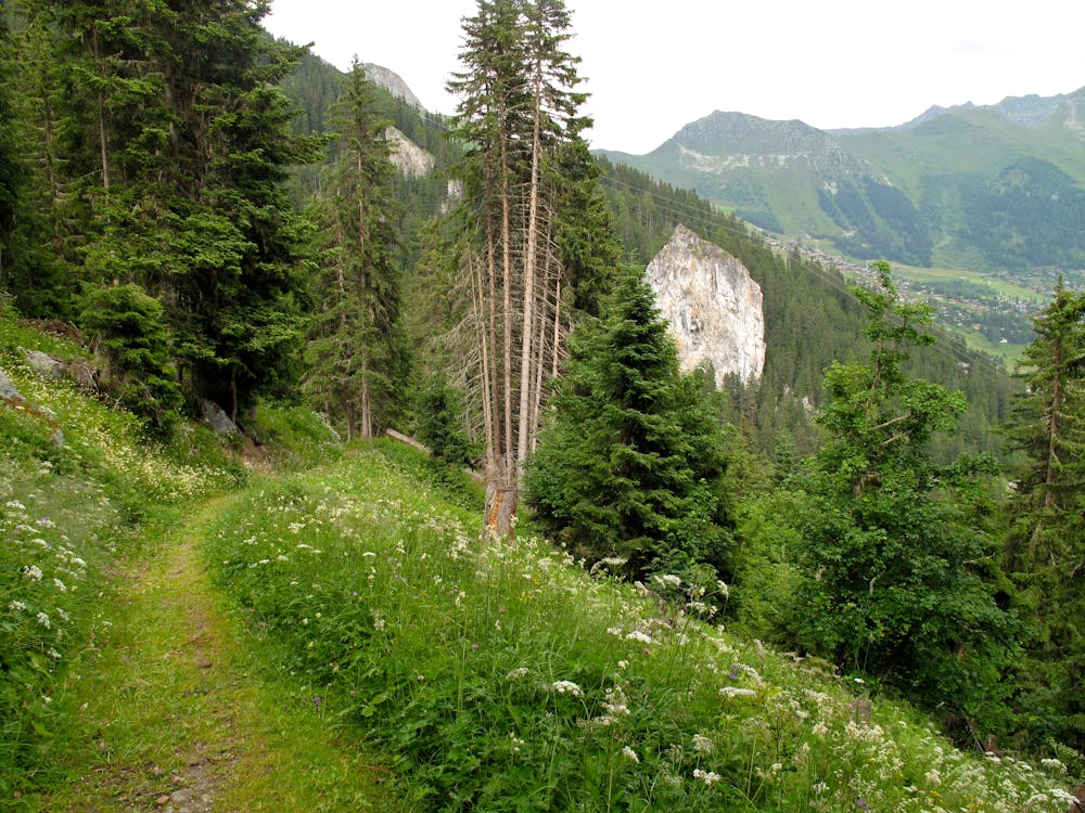
When arriving at the mid lift station of Ruinettes walk down to the right on the road, past the Ice Cube cafe and you will see the start of the route on your right hand side. For the first 20 minutes you will descend 270 metres (a picturesque water wheel is where the descent starts). For the next 10-15 minutes you move away from the water on a steep downhill section which crosses over a road and then back onto a footpath. Once you rejoin the water, the rest of the walk is flat all the way to the end. The water way takes you through stunning woodland large green pastures, which in the Spring are full of the incredible colours of alpine flowers. About halfway along the route there are two restaurants - Marmotte and Namaste. These are perfect places to stop for a cool drink on a hot day or a spot of lunch with a fantastic view of the Combins peaks. From here continue on more open pastures, and then finally head back into the woods to reach the end where you will and see the Chute du Bisse the end of the water way in a incredible Les Defornts a spectacle of natural beauty.
Easy
Walking along a well-kept trail that’s mostly flat. No obstacles are present.
1 m away
A short walk Around La Chaux including Cabane Mont Fort.
Moderate Hiking
3.8 km away
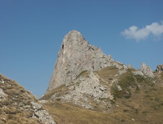
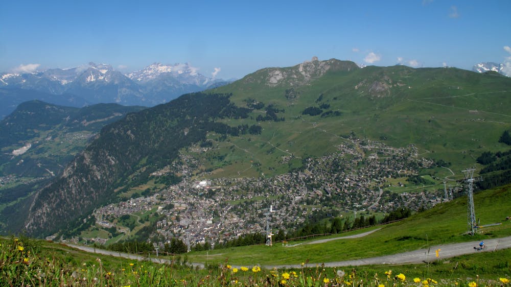
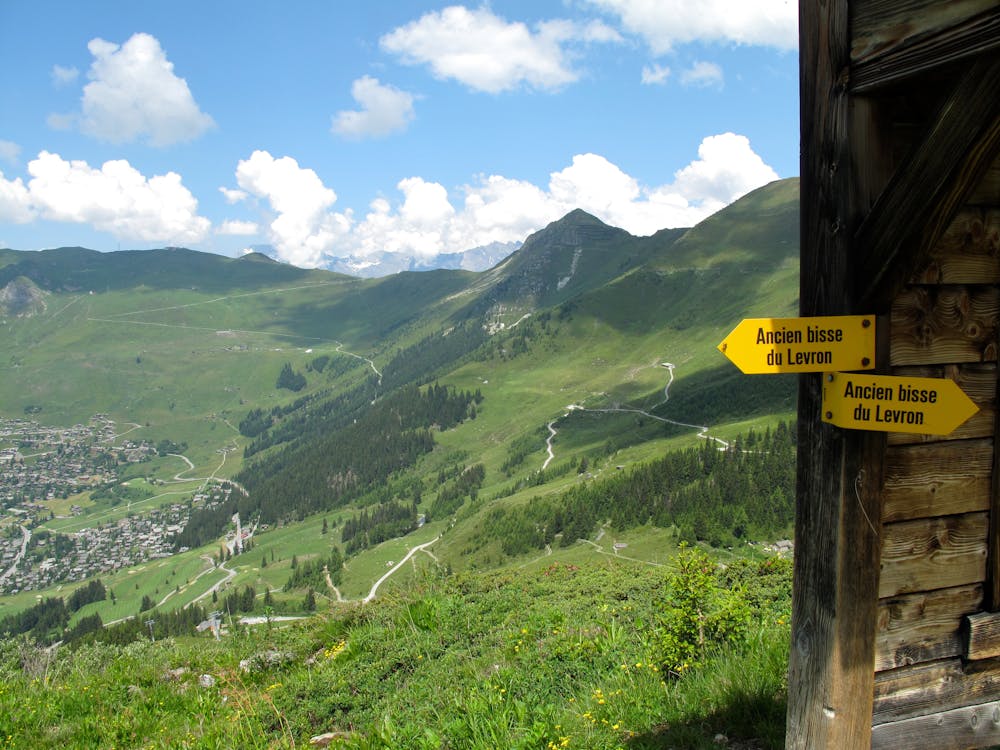
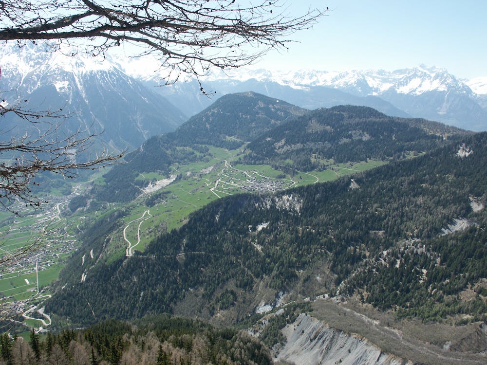
A medium to long walk via Pierre Avoi and Chute des Bisse across a fantastic ridge line that ends at a 360 view of Val de Bagnes and the Rhone Valley.
Difficult Hiking
5 routes · Hiking