5.2 km away
Haute Route Glacier Trek Day 3 (Part 1) - Cabane d'Orny to La Breya
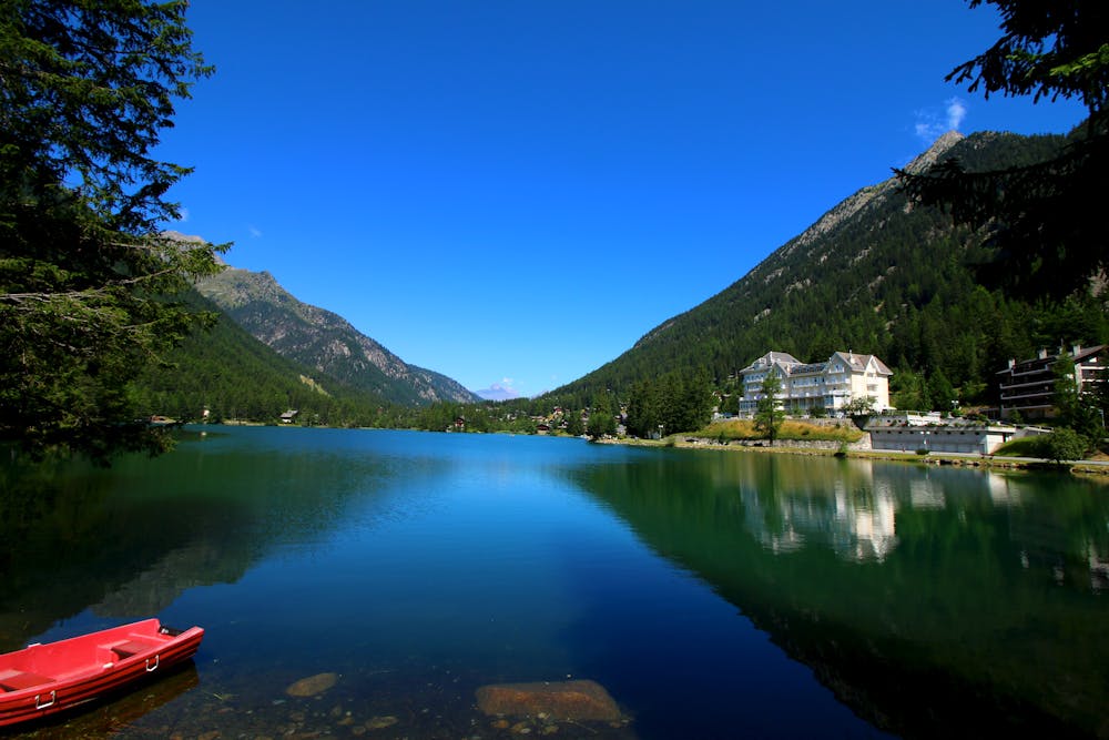
A scenic cruise down to a chairlift.
Difficult Hiking
- Distance
- 4.4 km
- Ascent
- 12 m
- Descent
- 651 m
Day 8: A long, winding traverse through alpine meadows perched high above the Rhône Valley.
Hiking Difficult

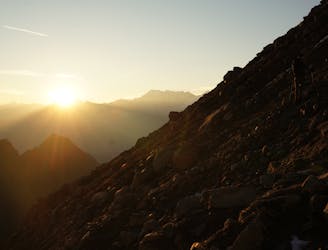
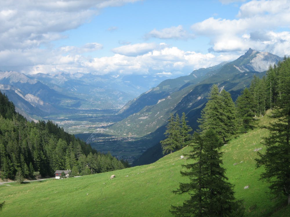
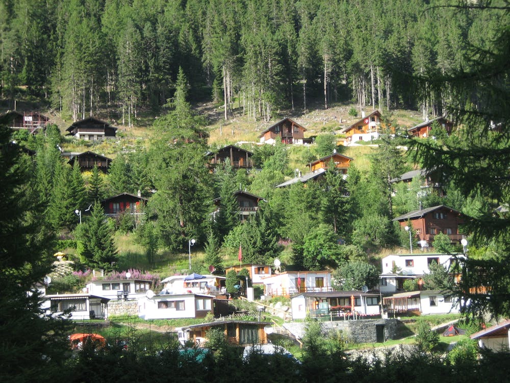
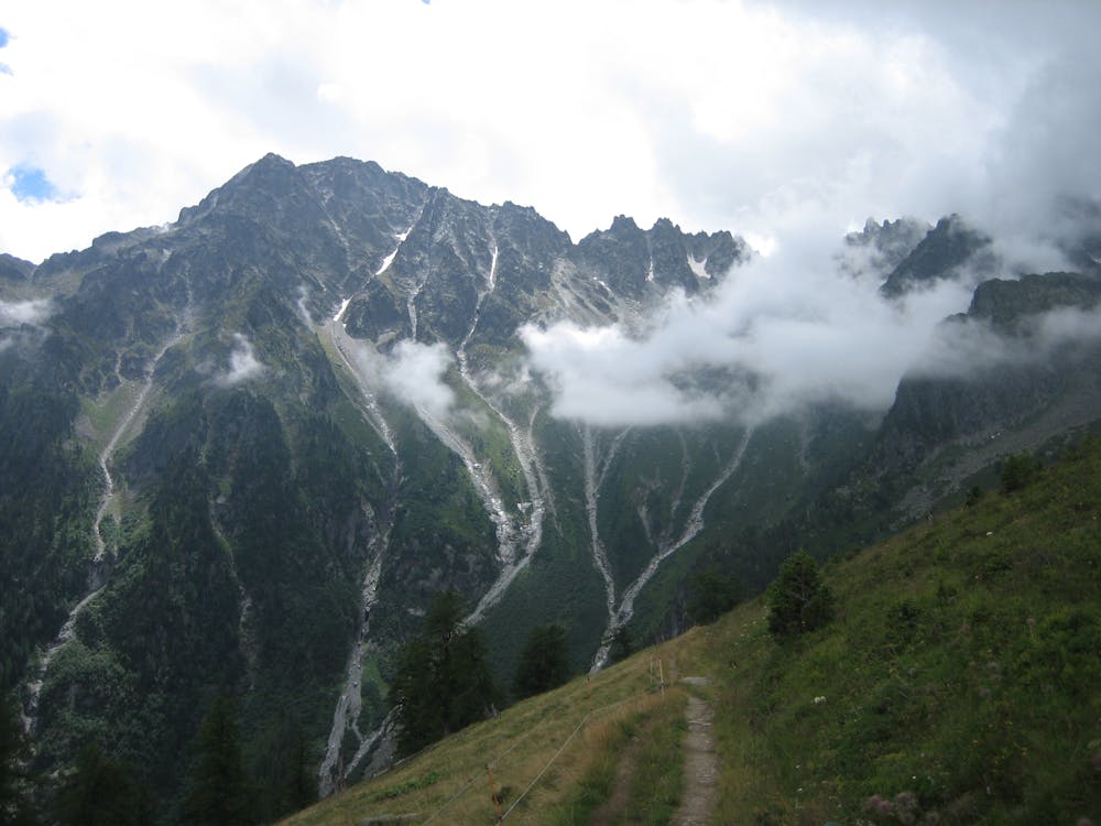
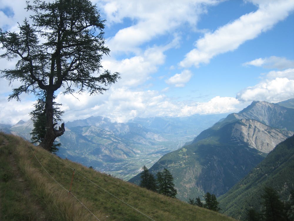
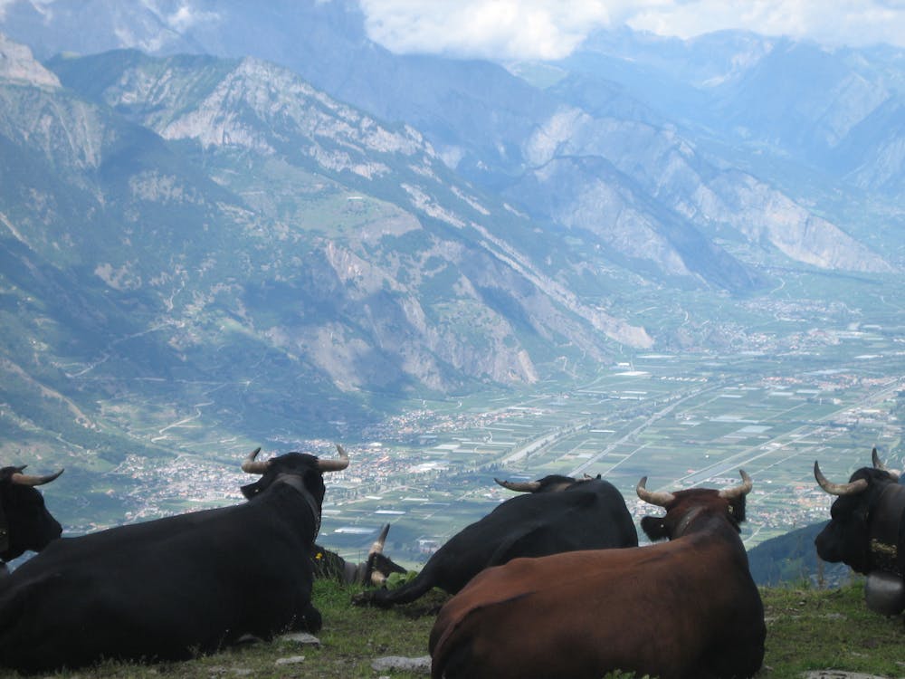
From Champex, follow the road northwest as it descends for 3 kilometres to the tiny settlement of La Poya. A road branches off left from here - take it and shortly afterwards a path cuts off heading for collection of chalets and barns which make up the little farm of Plan de l'Au. Continue past Plan de l'Au by passing through a gate (don't forget to close it) and following a large track as it climbs gently up to above the tree line. Keep following the path as it crosses 3 rivers and traverses the bowl below and east of the Pointe Ronde. The rivers, when in full flow, can be tricky to cross but generally are straightforward enough. Once on the far side of the bowl, climb steeply and then traverse into the small mountain restaurant/drink stop at the Fontaine farm, which is 1.5 - 2 hours from Plan de l'Au. The view down to the Rhône Valley, and the towns of Martigny and Sion is wonderful. From Fontaine, make a long, descending traverse west for 1.5 hours, past the chalets at La Giéte, to emerge at the restaurant and hotel at the Col de la Forclaz (1528 metres).
Difficult
Hiking trails where obstacles such as rocks or roots are prevalent. Some obstacles can require care to step over or around. At times, the trail can be worn and eroded. The grade of the trail is generally quite steep, and can often lead to strenuous hiking.
5.2 km away
A scenic cruise down to a chairlift.
Difficult Hiking
9.4 km away
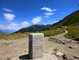
Day 9: The final border crossing of the Tour and the first time you'll have seen Chamonix for a week!
Severe Hiking

14 routes · Hiking

12 routes · Hiking

9 routes · Alpine Climbing · Hiking