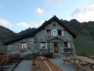
6.1 km away
Haute Route Glacier Trek Day 3 (Part 2) - Mauvoisin to the Cabane de Chanrion.
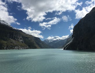
A lovely walk past the Lac de Mauvoisin up to a well-positioned hut.
Difficult Hiking
- Distance
- 10 km
- Ascent
- 1 km
- Descent
- 387 m
Hiking tour from Cabane Brunet, up to the col des Avouillons, down to the Passerelle de glacier de Corbassière before back for a beer at Cabane Brunet
Hiking Difficult

This is a popular hiking route which is generally considered to be difficult. It's remote, it features medium exposure and is typically done between July and September. From a low point of 2.1 km to the maximum altitude of 2.6 km, the route covers 11 km, 687 vertical metres of ascent and 687 vertical metres of descent.
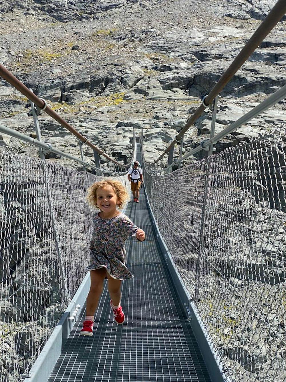
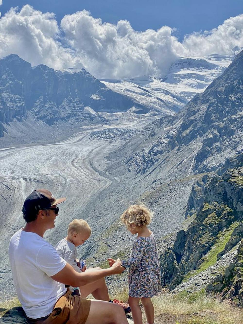
Amazing loop through stunning landscapes below the Petit Combin, before crossing over the Col des Avouillons and down to the foot of the glacier de Corbassière.
Difficult
Hiking trails where obstacles such as rocks or roots are prevalent. Some obstacles can require care to step over or around. At times, the trail can be worn and eroded. The grade of the trail is generally quite steep, and can often lead to strenuous hiking.

The trail contains some obstacles such as outcroppings and rock which could cause injury.
Away from help but easily accessed.
6.1 km away
A lovely walk past the Lac de Mauvoisin up to a well-positioned hut.
Difficult Hiking
6.9 km away
A short walk Around La Chaux including Cabane Mont Fort.
Moderate Hiking
6.9 km away
A gentle walk along a mostly flat route with the sound of running water alongside you for the entirety.
Easy Hiking
5 routes · Hiking

9 routes · Alpine Climbing · Hiking