Via Alpina: Samoens to Le Buet via the Aiguilles Rouges
A 3-day hike along part of the Via Alpina in the stunning Haute-Savoie region of France.
Moderate Hiking
- Distance
- 53 km
- Ascent
- 3.8 km
- Descent
- 3.2 km
Go hiking in Arve Valley with curated guides of the best hikes across the region. With over 113 3D trail maps in FATMAP, you can easily discover and navigate the best trails in Arve Valley.
No matter what your next adventure has in store, you can find a guide on FATMAP to help you plan your next epic trip.
Get a top hiking trail recommendation in Arve Valley from one of our 23 guidebooks, or get inspired by the 113 local adventures uploaded by the FATMAP community. Start exploring now!
A 3-day hike along part of the Via Alpina in the stunning Haute-Savoie region of France.
Moderate Hiking
A hike beginning with easy trails and ending by scrambling to a summit.
Extreme Hiking
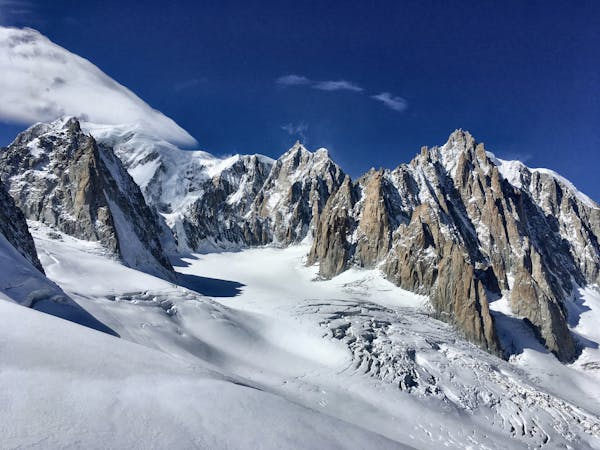
Discover Europe's largest limestone pavement formation ("désert de Platé")
Severe Hiking
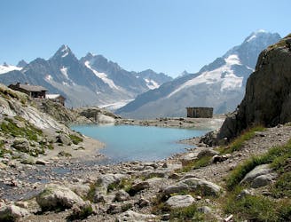
Visit an alpine lake before discovering one of France's 17 "Grand Sites de France," the glacial cirque of Fer à Cheval.
Difficult Hiking
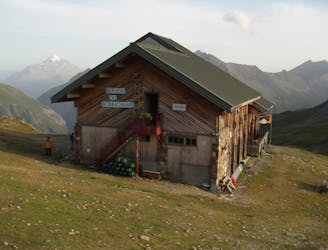
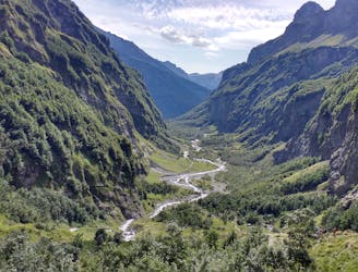
Day 3: A long and wild day which leads to one of the most peaceful little settlements in the French Alps.
Difficult Hiking
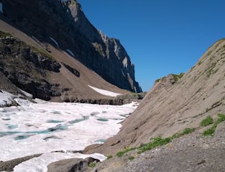
Day 2: An excellent day taking in a huge variety of views, from alpine meadows to hanging glaciers and rocky ridges.
Difficult Hiking

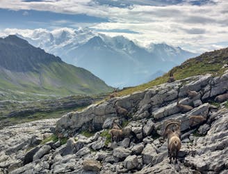
The HRP of the Alpes across France, Switzerland and Italie
Difficult Hiking

The most famous multi-day mountain hike in the Alps
Difficult Hiking

14 routes · Hiking
3 routes · Alpine Climbing · Hiking

12 routes · Alpine Climbing · Hiking

15 routes · Alpine Climbing · Hiking

6 routes · Alpine Climbing · Hiking

3 routes · Hiking

9 routes · Alpine Climbing · Hiking

9 routes · Alpine Climbing · Hiking