2.2 km away
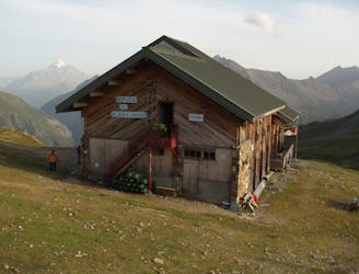
Tête Rousse Hut
A challenging loop showcasing the diversity of the Mont Blanc mountain range.
Severe Hiking
- Distance
- 23 km
- Ascent
- 2.2 km
- Descent
- 2.2 km
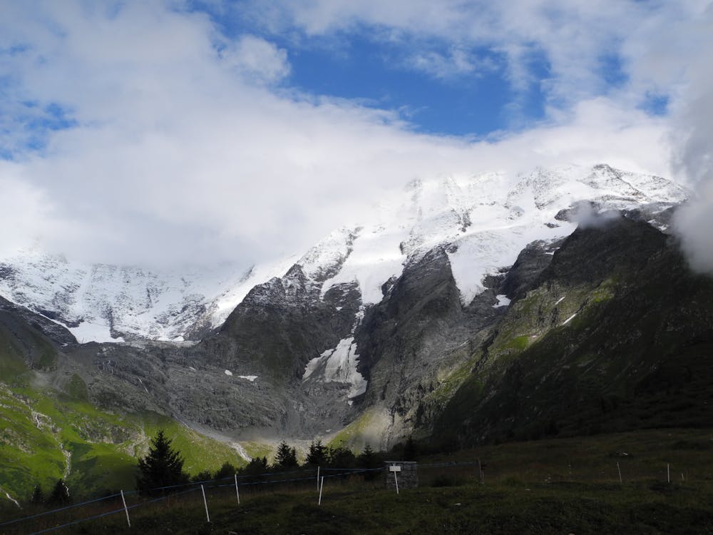
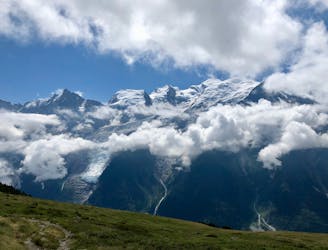
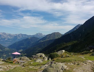
Day 2: An excellent day taking in a huge variety of views, from alpine meadows to hanging glaciers and rocky ridges.
Hiking Difficult

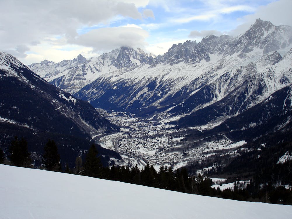
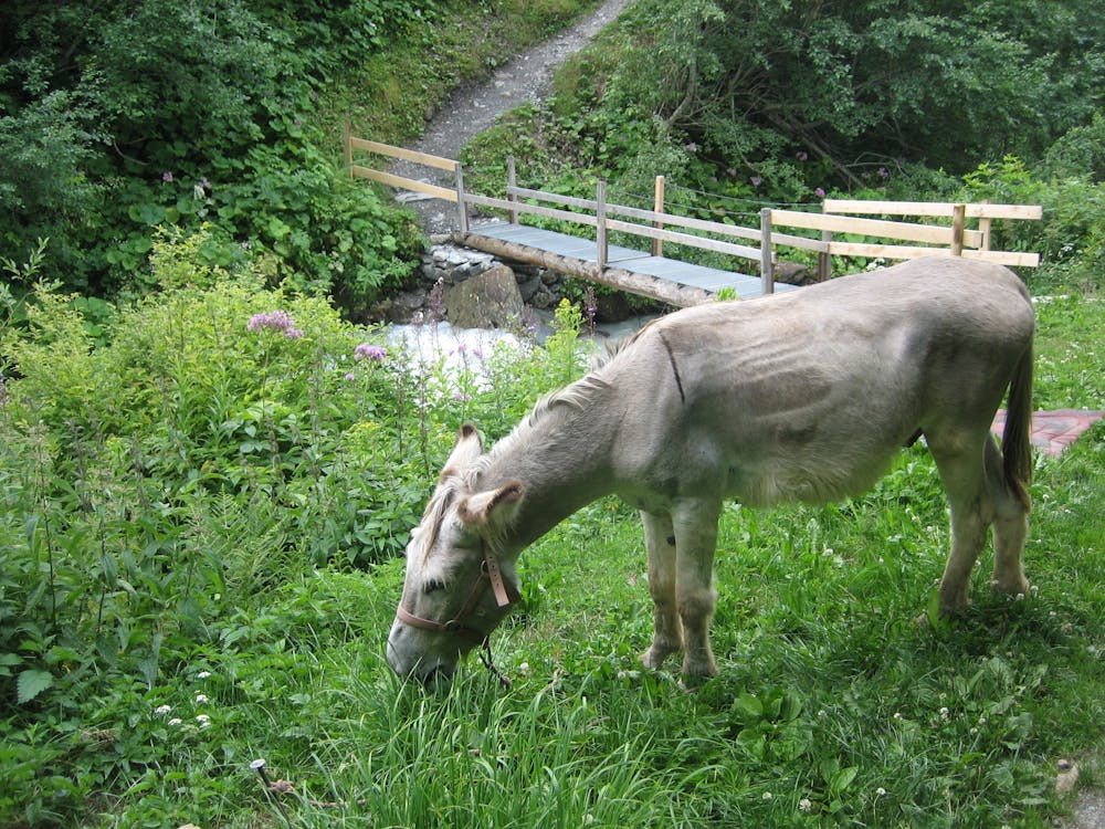
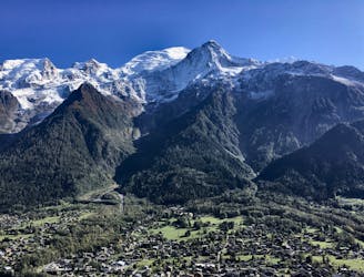
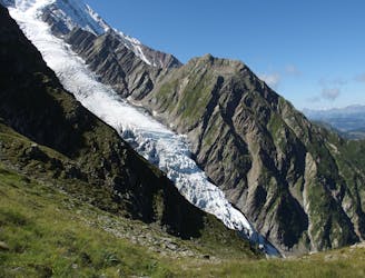
The day begins in the village of Les Houches, at the southwest end of the Chamonix valley. The first job is to reach the bottom of the Bellevue cable car, which lies at the western end of the Rue de Bellevue in Les Houches. From here, take the cable car up and from the top hike 50 metres south to cross over the tracks of the Tramway du Mont Blanc - the old fashioned mountain train which serves as the starting point for the normal route to Mont Blanc's summit. On the far side of the tracks is a jeep track which leads southeast and downhill for half an hour to reach the picturesque Chalets de l'Are. These sit in a lovely series of meadows and are usually surrounded by grazing cows. From the chalets, follow the path southwest, signposted for the Col de Tricot. This is flat for 5 minutes and then descends to a dramatic but short suspension bridge across a river which is fed by the Glacier de Bionnassay. Cross the bridge and then make the long, gentle climb up to the Col de Tricot (2120 metres) over the course of 1.5 hours. Descend from the Col on a steep, zig zag path for 600 vertical metres down to the Chalets de Miage. These sell the most wonderful blueberry tart, which is expensive at €6.00 but well worth the money. A short but sharp half hour climb from the chalets takes you up to the Chalets de Truc, and then a long, winding jeep track takes you down (in 1.5 hours) to the village of Les Contamines.
Difficult
Hiking trails where obstacles such as rocks or roots are prevalent. Some obstacles can require care to step over or around. At times, the trail can be worn and eroded. The grade of the trail is generally quite steep, and can often lead to strenuous hiking.
2.2 km away
A challenging loop showcasing the diversity of the Mont Blanc mountain range.
Severe Hiking
3.2 km away
Easy hike to the statue du Christ-Roi.
Moderate Hiking
4.4 km away
A pleasant hike with views of the Mont Blanc Massif
Moderate Hiking
5.1 km away

While one of the less interesting sections of the TMB, this stretch still offers a few hidden trail gems.
Moderate Hiking
5.9 km away
A famous hike which was the starting point for Jacques Balmat and Michel Paccard when they made the first ascent of Mont Blanc in 1786.
Difficult Hiking
7.1 km away
Day 3: A long and wild day which leads to one of the most peaceful little settlements in the French Alps.
Difficult Hiking
8 km away

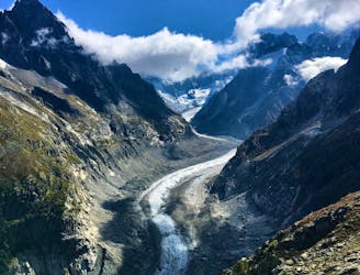
Circumnavigate the iconic Mont Blanc massif on this epic multi-day route.
Severe Hiking
8 km away

Day 1: A gentle downhill day on the sun-kissed south-facing slopes of the Brévent peak.
Moderate Hiking
8.2 km away
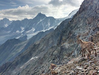
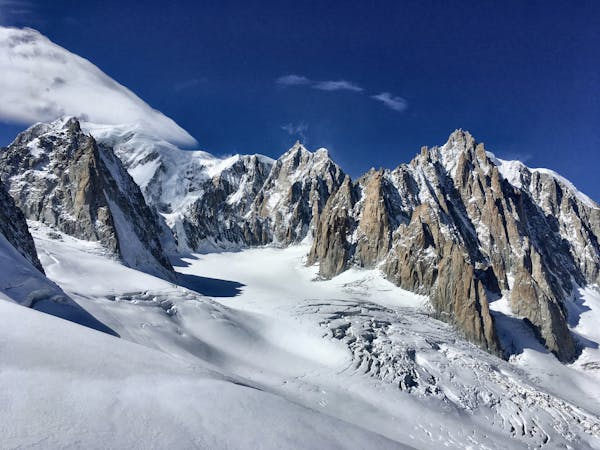
A serene glacier hike to a beautiful high mountain hut
Severe Hiking
8.8 km away
Packed with incredible views—likely the best bang-for-your-buck hike in Chamonix!
Difficult Hiking

6 routes · Hiking

14 routes · Hiking

5 routes · Hiking
3 routes · Alpine Climbing · Hiking

12 routes · Hiking

15 routes · Alpine Climbing · Hiking

10 routes · Hiking