538 m away
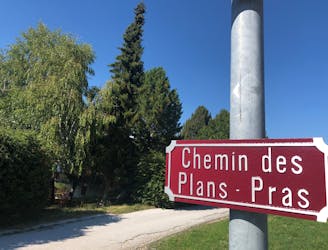
Chemin des Plans Praz
An easy short stroll through the shady forest with wild fruits and good views of the valley below.
Easy Hiking
- Distance
- 2.4 km
- Ascent
- 36 m
- Descent
- 37 m
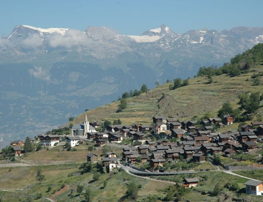
A beautiful scenic route up Mont Noble from the pretty village of Nax through the small forest paths. A full day hike but never too hard.
Hiking Difficult

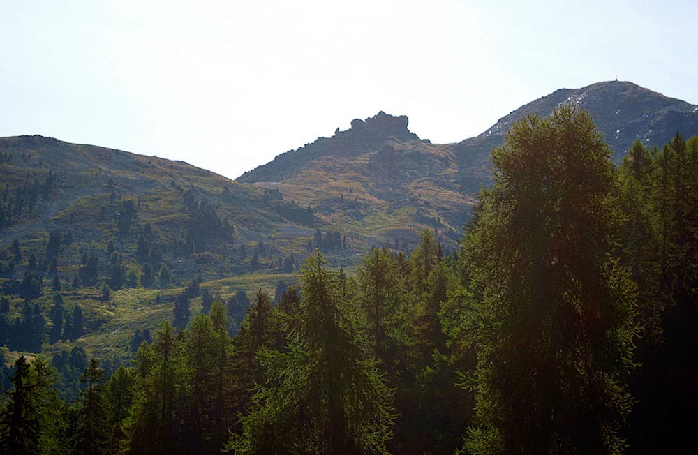
The best route up Mont Noble from the village of Nax using the quieter paths. You can be sure to find plenty of solitude in the company of wildflowers, and perhaps the odd herd of Herens cows grazing. The path winds through the forest on nice narrow (but never technical) paths before traversing across the alpine meadows and to the clear summit of Mont Noble. Fantastic views across to the Oberland, down the Rhone valley, and back towards Verbier and Mont Blanc from the summit.
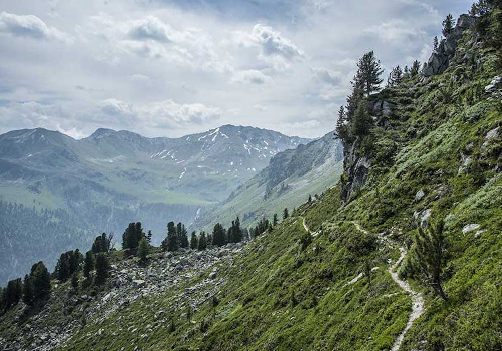
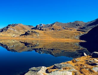
Those wanting something more challenging can continue along to the col du cou and to the Lac de Louche. A wonderful clear lake in the high alpine—a perfect spot for a picnic before making your way back the way you came, towards the Becs de Bosson or the Vallon de Rechy.
Difficult
Hiking trails where obstacles such as rocks or roots are prevalent. Some obstacles can require care to step over or around. At times, the trail can be worn and eroded. The grade of the trail is generally quite steep, and can often lead to strenuous hiking.

The trail contains some obstacles such as outcroppings and rock which could cause injury.
Away from help but easily accessed.
538 m away
An easy short stroll through the shady forest with wild fruits and good views of the valley below.
Easy Hiking
5 km away
A long, quiet, and wild walk through the high alpine with a fantastic lakeside lunch stop
Moderate Hiking