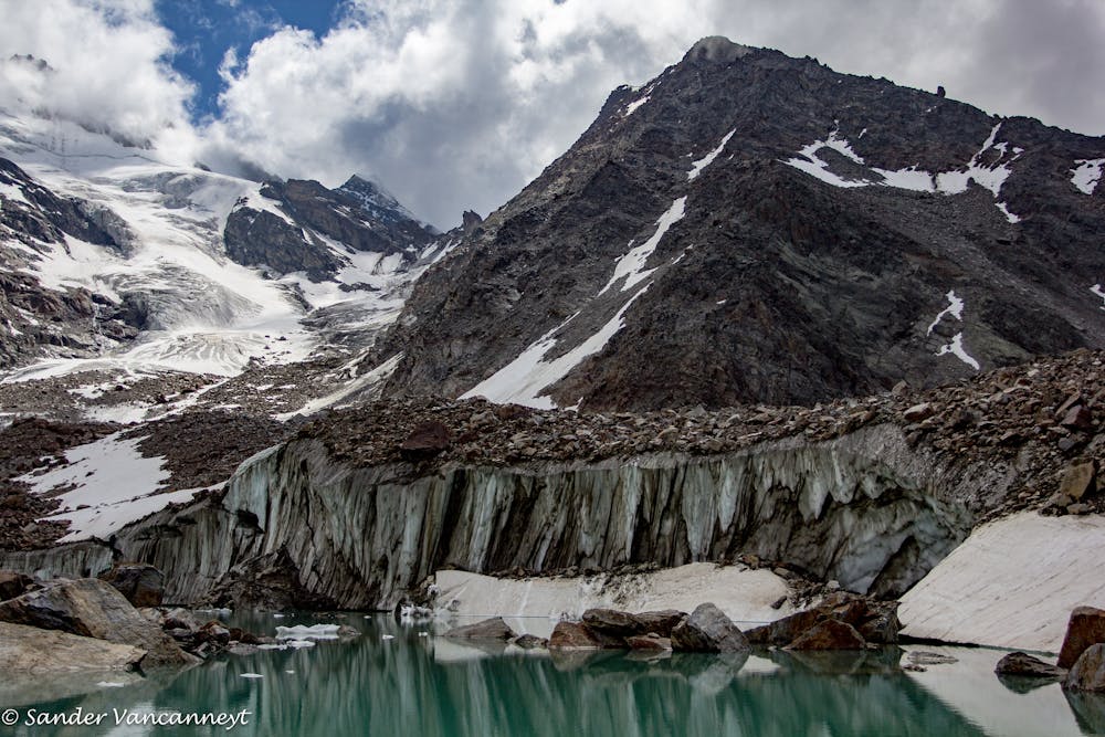
Grüebu Glacier
Saas Fee
A tough and rewarding tour up to one of the most magnificent glaciers in Saas-Fee.
Mountain Biking Difficult
- Distance
- 22 km
- Ascent
- 1.4 km
- Descent
- 1.4 km
- Duration
- 2-3 hrs
- Low Point
- 1.5 km
- High Point
- 2.9 km
- Gradient
- 15˚

Beginning in Saas-Balen head up to Rittmal before entering a forest where you climb up through a series of cross backs. Once you leave the forest you’ll come to a narrow gorge where you will face an even tighter series of turns. After you reach Heimischgartu you need to get off and push for a bit as the steepness becomes pretty impossible to ride up the final stretch of singletrack.
Description
Descend partly the way you came, until the trail splits, and this time take the path on the righthand side, through a forest all the way back to your starting point, looking out for Alpine Ibex and Chamois as you go!
https://www.saas-fee.ch/en/saas-valley/activities-events/activities/mountain-biking/
Difficulty
Difficult
Mostly stable trail tread with some variability featuring larger and more unavoidable obstacles that may include, but not be limited to: bigger stones, roots, steps, and narrow curves. Compared to lower intermediate, technical difficulty is more advanced and grades of slopes are steeper. Ideal for upper intermediate riders.
High Exposure

Some trail sections have exposed ledges or steep ascents/descents where falling could cause serious injury.
Remoteness

Away from help but easily accessed.
Best time to visit
Features
- Picturesque
- Singletrack
- Road sections