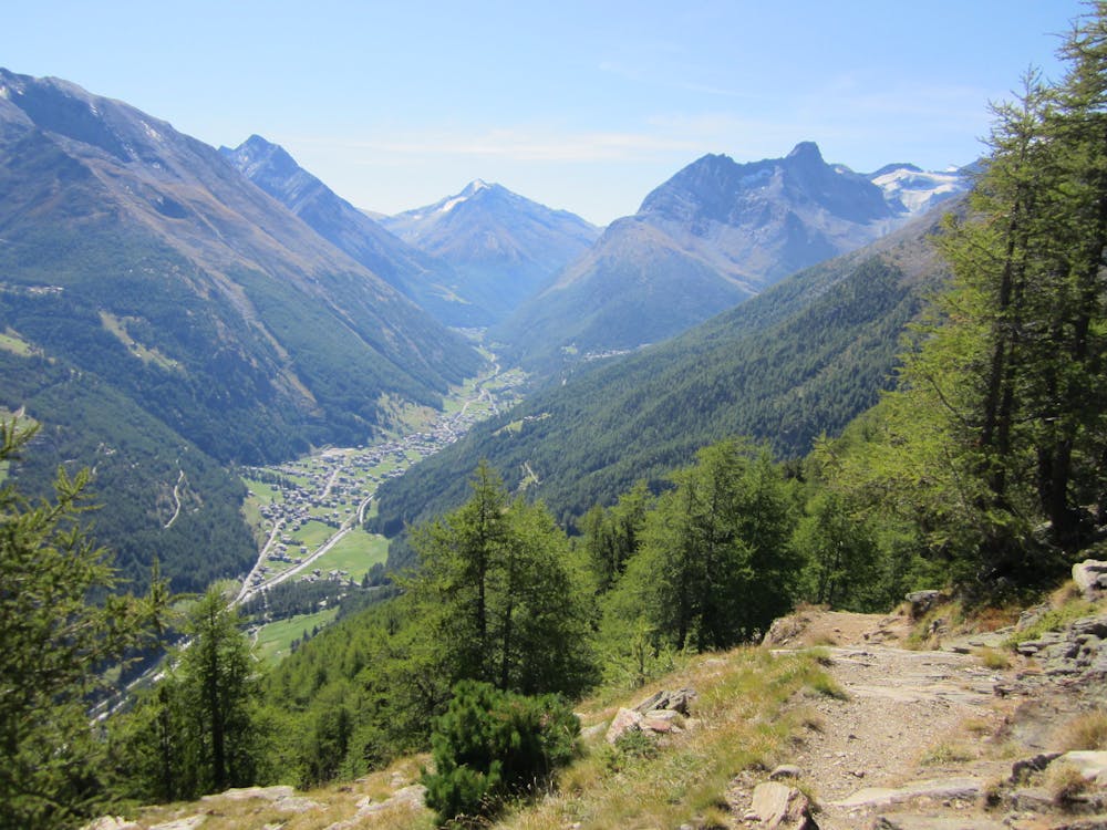
Saastal
Saas Fee
A fantastic loop tour of the Saas Valley
Mountain Biking Moderate
- Distance
- 28 km
- Ascent
- 1.1 km
- Descent
- 1.1 km
- Duration
- 3-4 hrs
- Low Point
- 1.5 km
- High Point
- 2.1 km
- Gradient
- 11˚

A great 30km intermediate loop bike tour taking you to the highlights of the Saas Valley, including 2 thrilling descents to Saas Grund and Saas Blatten.
Description
Difficulty
Moderate
Mostly stable trail tread with some variability, with unavoidable obstacles 8in/20cm tall or less. Other obstacles such as rock gullies and steep sections may exist. Ideal for lower intermediate riders.
Low Exposure

The path is on completely flat land and potential injury is limited to falling over.
Remoteness
Close to help in case of emergency.
Best time to visit
Features
- Picturesque
- Singletrack
- Road sections