283 m away
Swiss Transalp: Haute-Nendaz to Mauvoisin
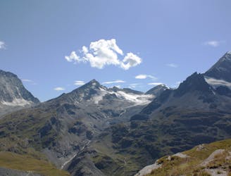
Day 7 of the exhilarating MTB Transalp from Lucerne to Aosta
Severe Mountain Biking
- Distance
- 39 km
- Ascent
- 2.2 km
- Descent
- 1.7 km

This is a popular mountain biking route which is generally considered to be difficult. It's very remote, it features high exposure and is typically done between May and September. From a low point of 1.4 km to the maximum altitude of 2.9 km, the route covers 47 km, 2407 vertical metres of ascent and 2403 vertical metres of descent.
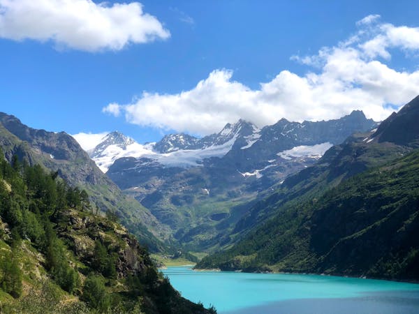
Magnifique vue and sentier
Difficult
Mostly stable trail tread with some variability featuring larger and more unavoidable obstacles that may include, but not be limited to: bigger stones, roots, steps, and narrow curves. Compared to lower intermediate, technical difficulty is more advanced and grades of slopes are steeper. Ideal for upper intermediate riders.

Some trail sections have exposed ledges or steep ascents/descents where falling could cause serious injury.
Little chance of being seen or helped in case of an accident.
283 m away
Day 7 of the exhilarating MTB Transalp from Lucerne to Aosta
Severe Mountain Biking
8 routes · Mountain Biking