

5 km away
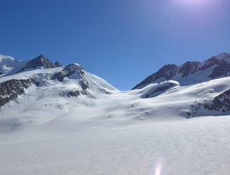
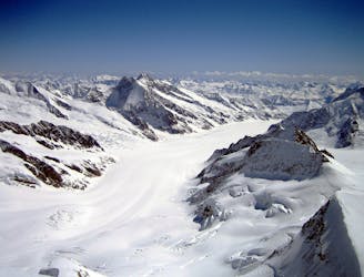
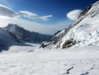
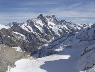
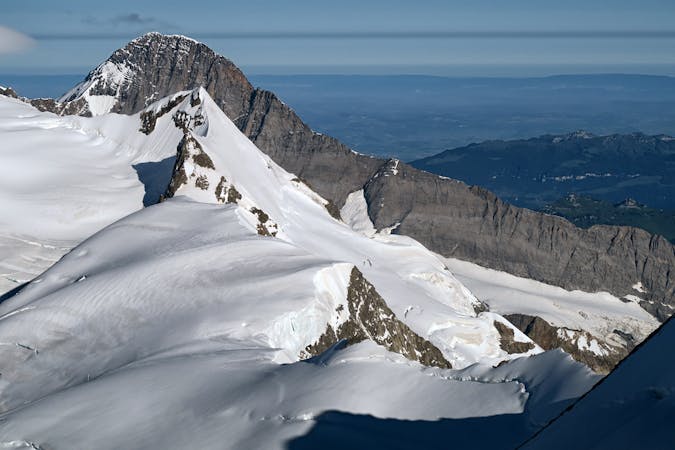
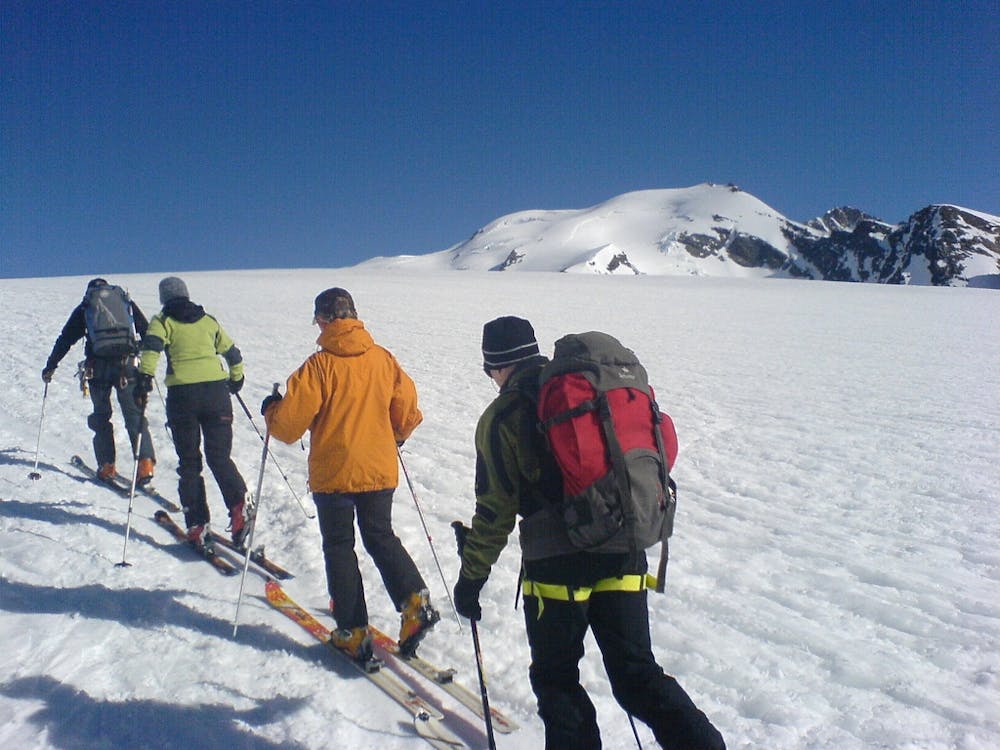
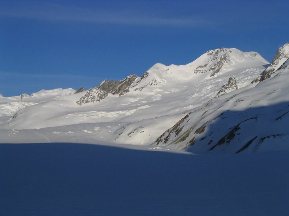
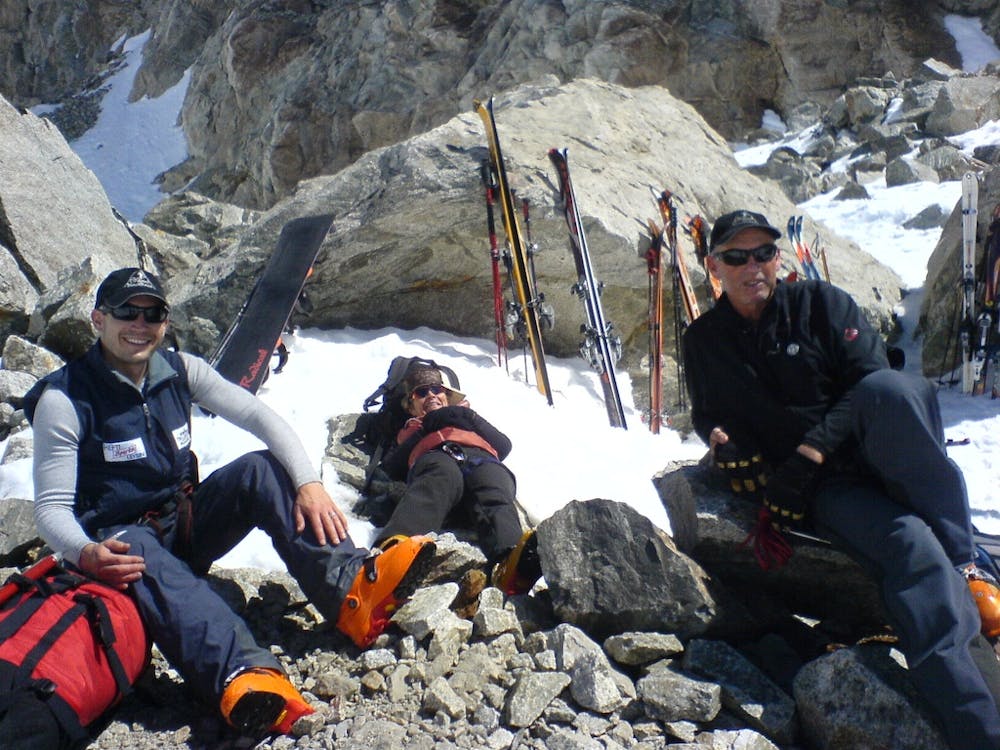
Bernese Oberland 4000m Peak Tour: The Aletschhorn
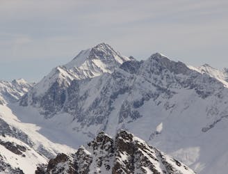
Day 5: The easiest, though not easy, route to one of the remotest and most coveted 4000m peaks in the Alps. NOTE: THE MITTELALETSCHBIWAK IS NOW A RUIN. It was destroyed by an avalanche in 2019.
Severe Ski Touring
- Distance
- 19 km
- Ascent
- 1.6 km
- Descent
- 2.6 km