FATMAP by Strava

Monte Rosa Haute Route: Klein Matterhorn to Rifugio Guide d'Ayas

Cervinia

Zermatt - Breuil-Cervinia

Day 1: Zermatt/Cervinia, Breithorn, Ayas Hut using the cable car to the Klein Matterhorn to start

Also in Aoste, Italy

Ski Touring Difficult

Distance
5.9 km
Ascent
200 m
Descent
643 m
Duration
1-2 hrs
Low Point
3.4 km
High Point
3.8 km
Gradient
36˚
Monte Rosa Haute Route: Klein Matterhorn to Rifugio Guide d'Ayas Map

Using one of the highest lifts in Europe, Trockener Steg- Klein Matterhorn, you can access one of the easier 4000m peaks in the Alps. This is a popular summit but is an optional one if the weather is poor. Logistically it may be simpler to start from Zermatt as you will end up finishing there, but Cervinia is the other valley base to access the lift from. The lift arrives at nearly 3900m so lack of acclimatisation may be another reason to miss out this summit. From now on during the entire tour you are on crevassed glaciers. Clearly give crevasses a wide berth, but also be mindful of any suspicious holes or depressions in the snowpack which might indicate weak snow bridges.

Description

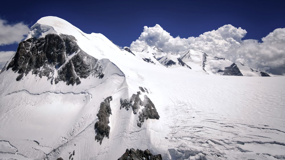
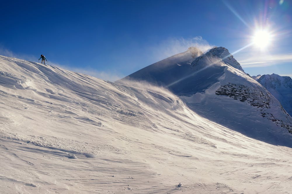
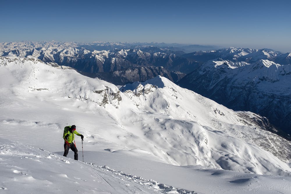
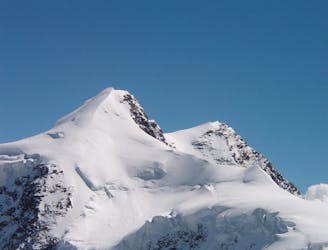
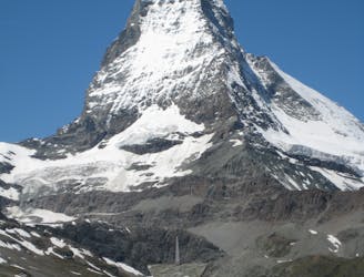
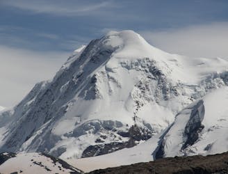
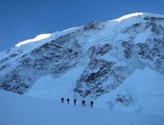
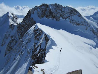
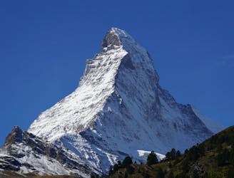
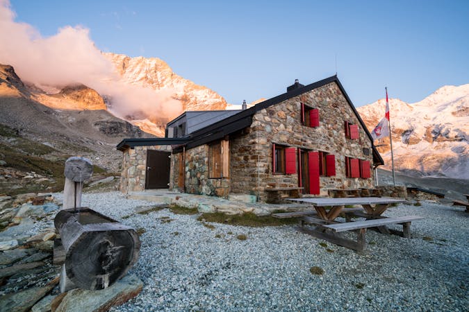
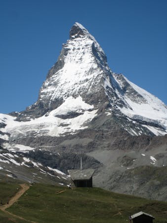
This is a very popular peak, and in all but poor weather, when you probably wouldn't want to go up it, there is a good track in from the lift top station, heading in an arc leftwards on fairly flat ground. You may pole/slide some of this but will soon switch to skinning. In optimal conditions you may be able to skin all the way to the summit, with or without ski crampons. However it is a sunny south facing slope so it is common to switch to crampons/axe half way up. Admire the wonderful views of the Matterhorn, the Dent d'Herens, the Dent Blanche and numerous other 4000m giants all around. You can see your hut for the night too- the Ayas Hut, so have a good look at the lie of the land and the tracks leading to the hut, including where they branch off from other routes. The descent is similar to the ascent, though in good snow you maybe able to take a line slightly to the skiers L of your ascent route to get some fresh tracks. Once you are nearly level with the top of the lift keep an eye out for the tracks leading to your left which will traverse under the rest of the broad bulk of the Breithorn. Some but not all of these tracks will be going to your hut for the night. It is only gently downhill as you traverse under the Breithorn, with a short section of uphill needing sidestepping or a short skin again. Continue the traverse until you are under Pollux, before heading down broad, relatively easy slopes leading to the Ayas Hut at 3425m.

Difficulty

Difficult

Serious gradient of 30-38 degrees where a real risk of slipping exists.

High Exposure (E3)

3 out of 4

In case of a fall, death is highly likely.

Remoteness

4 out of 4

In the high mountains or remote conditions, all individuals must be completely autonomous in every situation.

Best time to visit

between February and June

Equipment required

  • Rope
  • Skins
  • Ice axe
  • Crampons
  • Glacier kit

Similar routes nearby

Guidebooks in this area