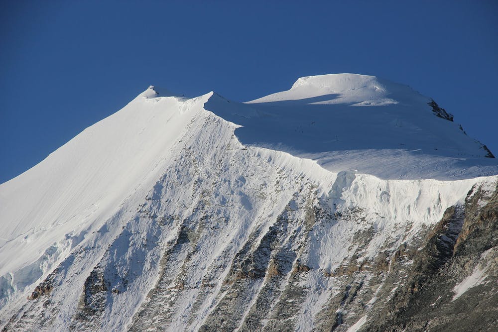
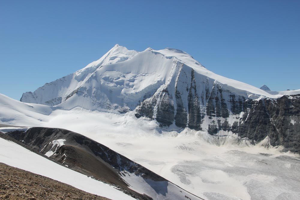
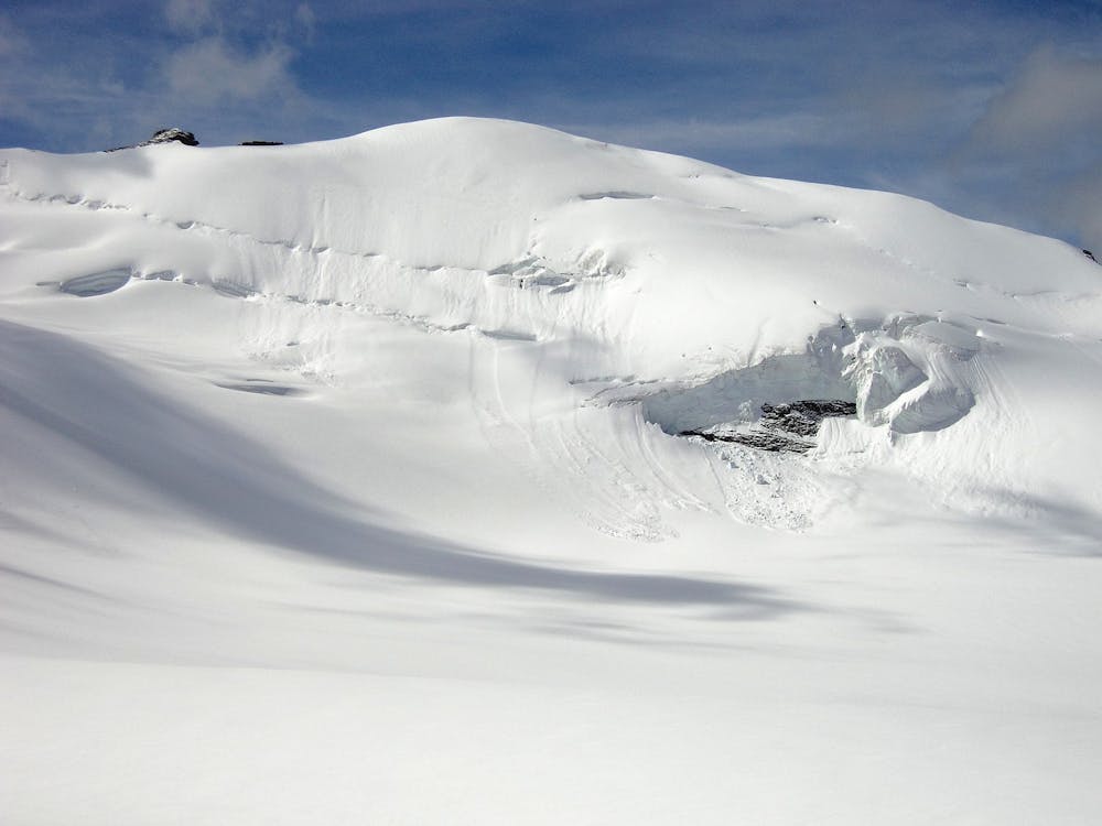
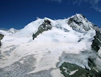
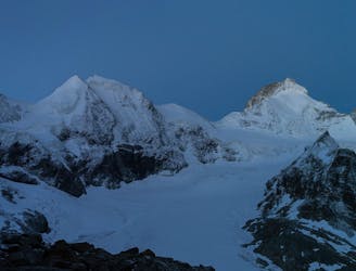
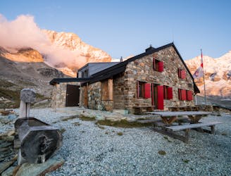
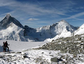
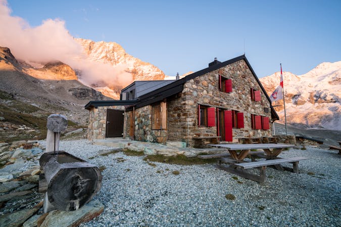
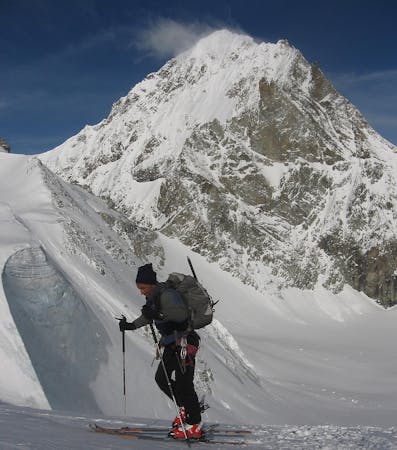
You can travel with relatively light packs today as you will be returning to the hut before descending. It is one of the highest peaks in the Alps that sees regular ascents on skis. Yet towering above it is the mighty Weisshorn, whose N Ridge you get an amazing view of from the summit. From the hut head SE to the Turtmann Glacier, which climbs gently SE until it flattens off at about 3380m. Traverse almost horizontally now in an arc to the L, passing below the long rocky ridge that descends from the summit of the Bishorn. Carry on up this gently, angling slightly R to reach the NW ramp of the mountain. Pass to the far side of this ramp, as it is slightly less steep, staying to the L of the obvious col at 3543m. Now climb up the fall line, usually with a few kickturns. It steepens slightly at about 3950m, to about 30 degrees, before angling off slightly to a small saddle at 4110m, where you leave your skis. The final short climb will be on foot, often easier with crampons, to the summit at 4153m. Descent is the same, in reverse, back to the hut, for coffee and cake, but you still have 1500m of descent to go! Initially you are retracing your tracks from yesterday, taking the line of the summer path, steeply initially, before it eases off at about 3120m. Lovely open easy skiing follows, down the streambed of the Torrent de la Barme, onto nearly flat ground at about 2550m. Pass to the R, between Roc de la Vache and point 2617m. It is steeper here, descending broadly S, keeping to the L of the thickest trees, to cross the river at the bridge at 1908m. From here you quickly cross another bridge then follow the well marked and skied track down to Zinal.