426 m away
La Châble - Les Attelas - Mont Fort Hut
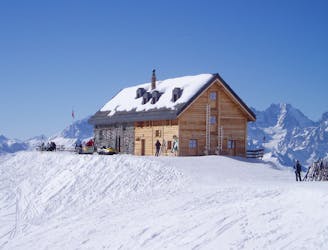
A short section linking the Verbier Lifts to the well situated Mont Fort Hut
Moderate Ski Touring
- Distance
- 2 km
- Ascent
- 61 m
- Descent
- 335 m
An alternative entrance to the Vallon d'Arby with some good skiing but requires some walking
Ski Touring Difficult

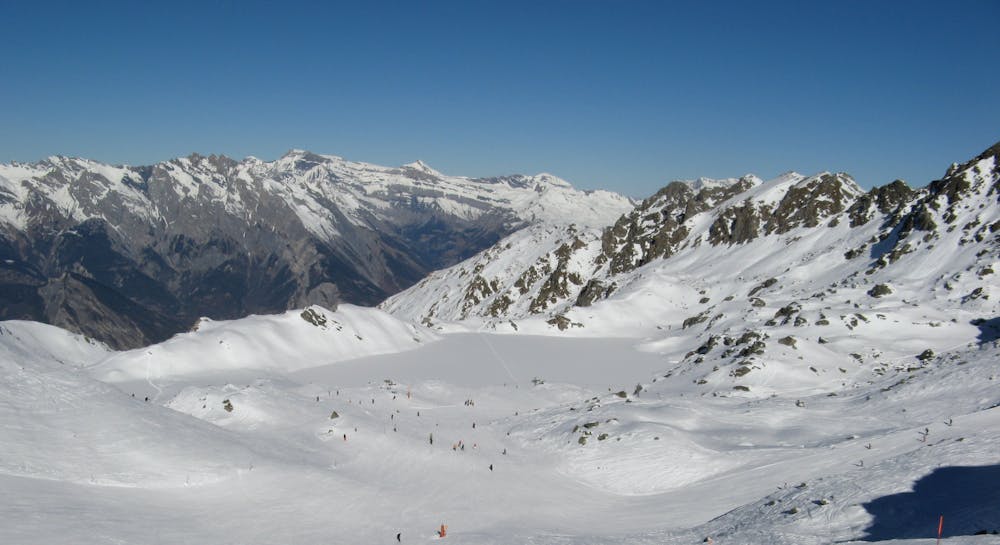
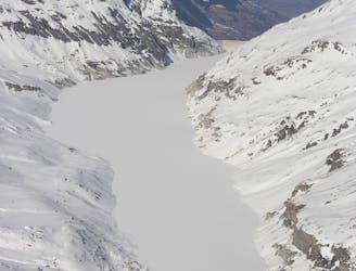
The Vallon d'Arby is a beautiful wild valley well away from the crowds and can be accessed from the Col des Mines or from the Col de Chassoure as described and shown here. This route doesn't get tracked out as quickly due to the walking required. Whilst the walk is short, it is useful to have a set of skins. From the Col de Chassoure, start down the red piste and then leave the piste to ski down and under the chair lift. Try to keep as much speed as possible to save on the walking. Walk with skis or using skins until underneath the Col des Champs Ferret. Continue the traverse, staying as high as possible. Choose a line, avoiding the rocks and follow the fall line to join the exit of the Ocean Drive couloir. When you reach the flattening, step up 15-20m to join a path that heads in to the forest. When the slope opens out again continue down directly to join the bottom of the valley. Exit the valley over the small bridge and follow the path to the road which you follow to join the ski area of La Tzoumaz.
Difficult
Serious gradient of 30-38 degrees where a real risk of slipping exists.

As well as the slope itself, there are some obstacles (such as rock outcrops) which could aggravate injury.

Little chance of being seen or helped in case of an accident.
426 m away
A short section linking the Verbier Lifts to the well situated Mont Fort Hut
Moderate Ski Touring
2.1 km away
One of the big days on the Haute Route taking in the summit of the Rosablanche
Moderate Ski Touring
8.5 km away
A long traverse along the side of Lac des Dix to the well positioned Dix Hut
Difficult Ski Touring
7 routes · Ski Touring
4 routes · Ski Touring
7 routes · Freeride Skiing · Ski Touring