2.4 km away
Verbier Crest Loop
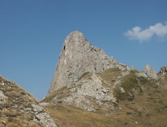
A gorgeous loop following the crest of the mountains above Verbier
Difficult Trail Running
- Distance
- 23 km
- Ascent
- 1.6 km
- Descent
- 1.6 km
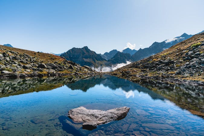
The 'Cha Cha Cha 46km' offers a marathon distance, with challenging climbs around the stunning trails of the Verbier valley.
Trail Running Difficult

The 2nd longest course of the Cha Cha Cha Ultra Trail series, held annually in the Verbier valley. This race is aimed at intermediate-experienced trail runners, offering some challenging, technical climbs but also some fast paced descents.
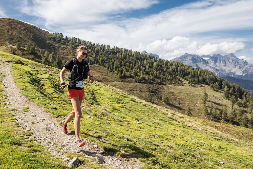
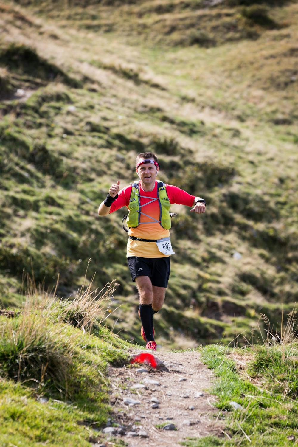
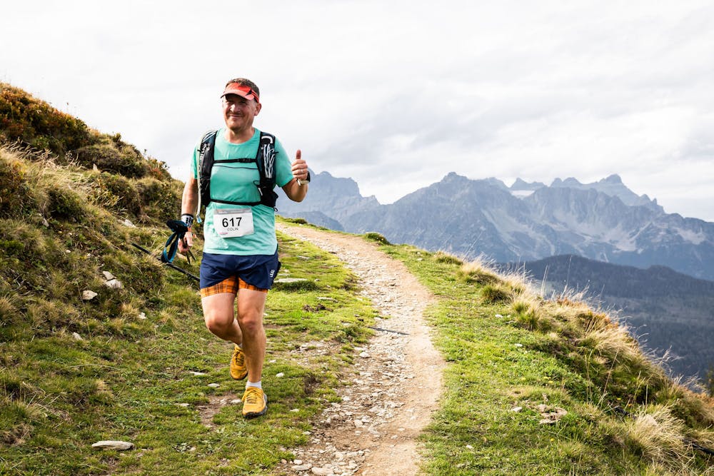
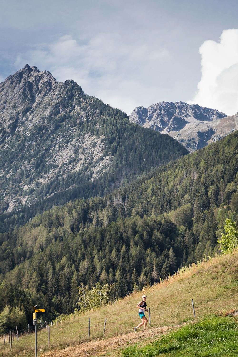
Starting and finishing in Le Châble this course first climbs aggressively up to Larzey. As you emerge from the forest you will be rewarded with panoramic views, including Catogne, Pierre Avoi and the Bruson ridge line ahead. You climb along the dramatic ridge towards Col de Mille, here you will feel in another world with Verbier in the distant view. Then after a gradual but long descent to the valley floor, the second steep climb takes you in the shadow of the Bec de Rosses up to the small village of Schlerondes. You can then gain some speed as you head towards Verbier on a flat section. A steep descent via Clambin takes you to the finish in Le Châble.
An awe inspiring race with epic views in all directions. Find out more - https://www.chachacharun.com/cha-cha-cha-43
Difficult

The trail contains some obstacles such as outcroppings and rock which could cause injury.
Away from help but easily accessed.
2.4 km away
A gorgeous loop following the crest of the mountains above Verbier
Difficult Trail Running
3 routes · Trail Running