720 m away
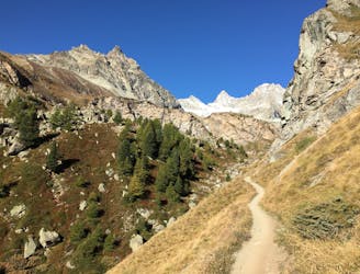
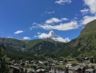
Riffelsee Run
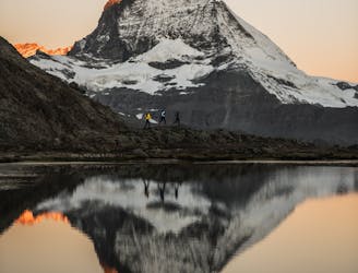
Top out at the alpine lake boasting the most spectatcular Matterhorn view.
Moderate Trail Running
- Distance
- 28 km
- Ascent
- 1.8 km
- Descent
- 1.8 km
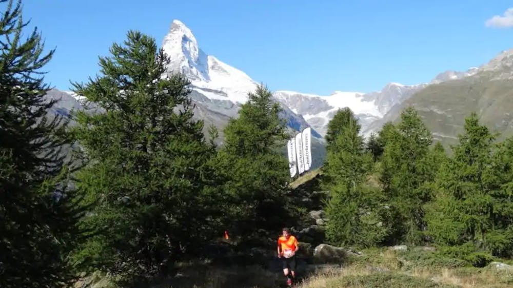
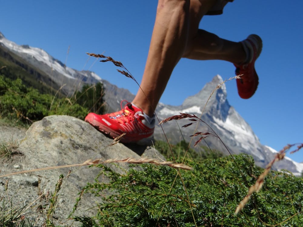
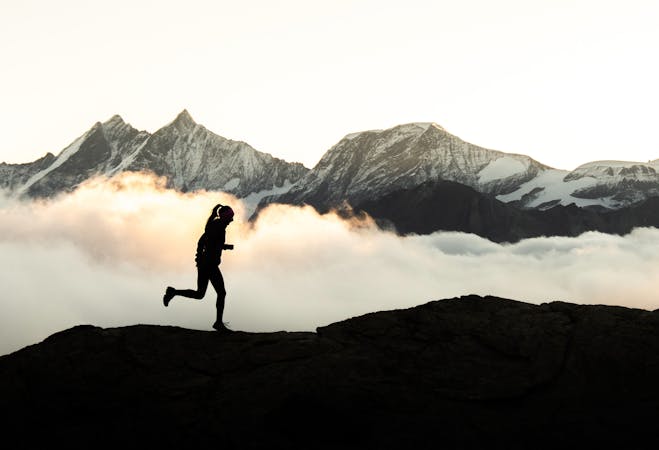
Get fit for the Matterhorn
Trail Running Moderate

This is a popular trail running route which is generally considered to be moderate. It's not remote, it features low exposure and is typically done between May and September. From a low point of 1.8 km to the maximum altitude of 2.3 km, the route covers 1.1 km, 493 vertical metres of ascent and 0 vertical metres of descent.
Vertical trail from the Cervo Hotel to the top of Sunnegga
Moderate

The path is on completely flat land and potential injury is limited to falling over.
Close to help in case of emergency.
720 m away
Top out at the alpine lake boasting the most spectatcular Matterhorn view.
Moderate Trail Running
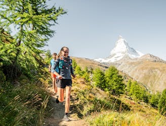
759 m away
Get up close and personal with Switzerland's most famous peak.
Moderate Trail Running
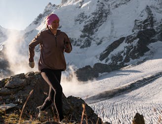
774 m away
Run steep, get high.
Severe Trail Running
3.1 km away
Trails, brews & epic views...
Easy Trail Running
3.1 km away
Well worth waking up early for.
Difficult Trail Running
3.1 km away
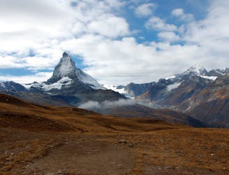
Of marmots & Matterhorn views: the quintessential Zermatt trailrun.
Moderate Trail Running
9 km away
Take the trail instead of the train.
Moderate Trail Running
7 routes · Trail Running