241 m away
Verbier Crest Loop
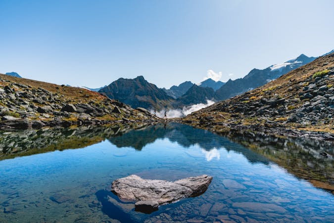
A gorgeous loop following the crest of the mountains above Verbier
Difficult Trail Running
- Distance
- 23 km
- Ascent
- 1.6 km
- Descent
- 1.6 km
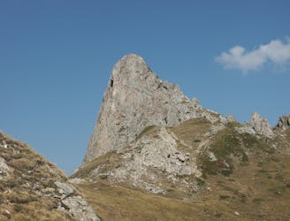
Long, technical , beautiful course
Trail Running Difficult

This is a popular trail running route which is generally considered to be difficult. It's remote, it features medium exposure and is typically done between July and September. From a low point of 712 m to the maximum altitude of 2.8 km, the route covers 139 km, 8752 vertical metres of ascent and 8752 vertical metres of descent.
Verbier X-Alpine 140km. This is the longer course (2024)
Difficult

The trail contains some obstacles such as outcroppings and rock which could cause injury.
Away from help but easily accessed.
241 m away
A gorgeous loop following the crest of the mountains above Verbier
Difficult Trail Running
3 routes · Trail Running