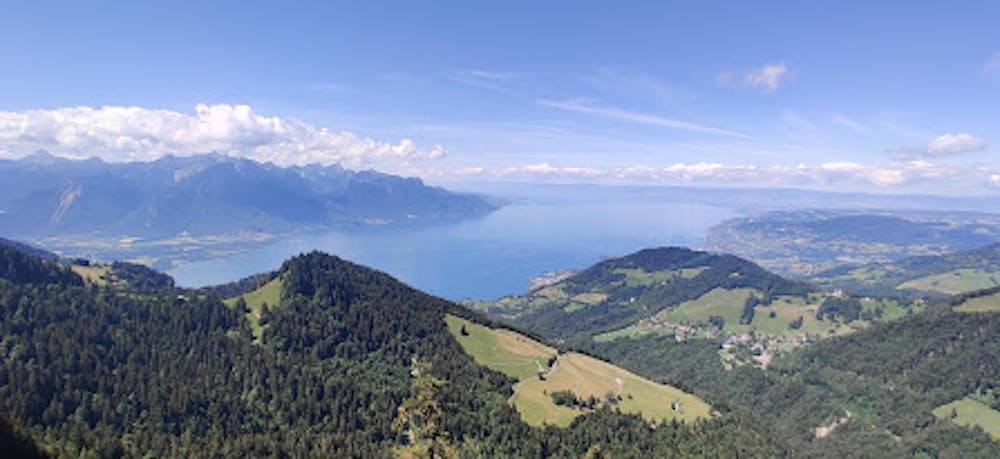
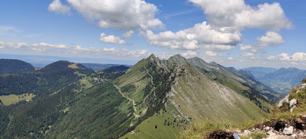
Dent de Jaman hike from the Col de Jaman
Easy hike with beautiful landscapes and lake view
Hiking Easy
- Distance
- 5.2 km
- Ascent
- 368 m
- Descent
- 418 m
- Duration
- 1-2 hrs
- Low Point
- 1.5 km
- High Point
- 1.9 km
- Gradient
- 18˚

This is a popular hiking route which is generally considered to be easy. It's not remote, it features low exposure and is typically done between June and October. From a low point of 1.5 km to the maximum altitude of 1.9 km, the route covers 5.2 km, 368 vertical metres of ascent and 418 vertical metres of descent.
- •
- •
Description
Easy hike, easily accessible by car
Difficulty
Easy
Walking along a well-kept trail that’s mostly flat. No obstacles are present.
Low Exposure

The path is on completely flat land and potential injury is limited to falling over.
Remoteness
Close to help in case of emergency.
Best time to visit
Features
- Alpine
- Wildlife
- Picturesque
- Summit Hike
- Dog friendly
- Wild flowers