3 routes
Explore Vaud with curated guides of the best hiking trails, ski routes, and more. With over 22 3D trail maps in FATMAP, you can easily discover and navigate the best trails in Vaud.
No matter what your next adventure has in store, you can find a guide on FATMAP to help you plan your next epic trip.
Get a top trail recommendation in Vaud from one of our 3 guidebooks, or get inspired by the 22 local adventures uploaded by the FATMAP community. Start exploring now!
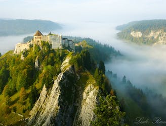
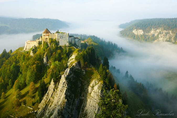
Hike the Via Francigena along the French–Swiss border from Pontarlier to Jougne.
Difficult Hiking
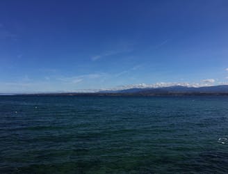
An easy inland route through woodlands from quaint villages to cosmopolitan Geneva.
Easy Hiking
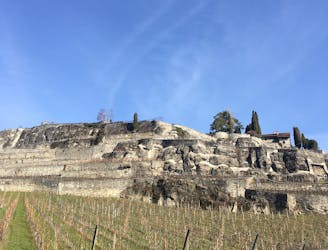
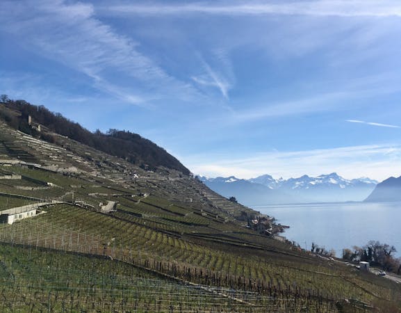
Hike through the steep and stunningly-beautiful vineyards of Lavaux, a UNESCO world heritage site.
Moderate Hiking
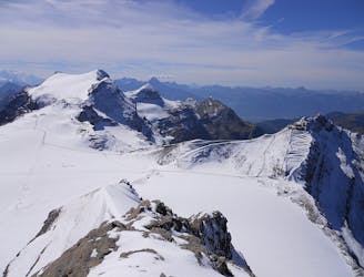
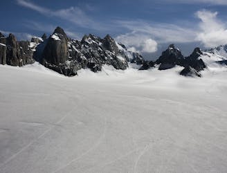
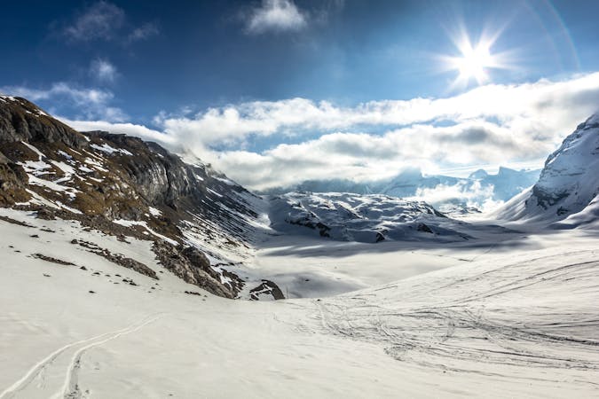
Day 1 of the Western Oberland Traverse, running from Diablerets to the Gelten Hut via the Arpelistock.
Difficult Ski Touring

A breathtaking short but challenging hike downhill
Moderate Hiking
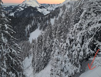
A steep line on the N Face of Le Folly, offering an interesting alternative to the classic descent
Severe Ski Touring

Roure to do mid Caux conference
Difficult Trail Running

les-diablerets - Pointe d'arpille - Tete du meilleret
Moderate Ski Touring
5 routes · Ski Touring
4 routes · Hiking
4 routes · Hiking