La dôle – La Dôle Loop from St-Cergue
Loop della Dôle partendo dalla stazione di St. Cergue.
Hiking Moderate
- Distance
- 18 km
- Ascent
- 816 m
- Descent
- 815 m
- Duration
- 4-5 hrs
- Low Point
- 1 km
- High Point
- 1.7 km
- Gradient
- 11˚
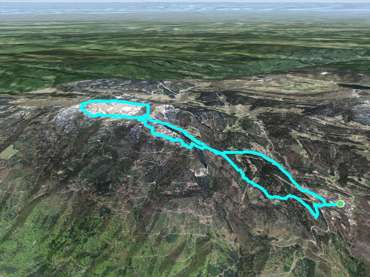
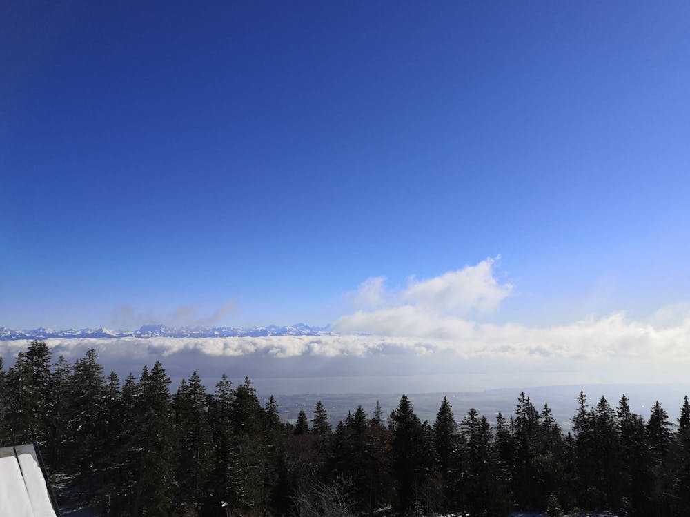
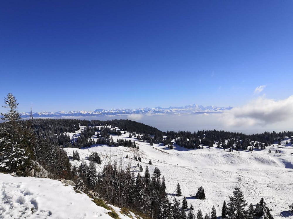
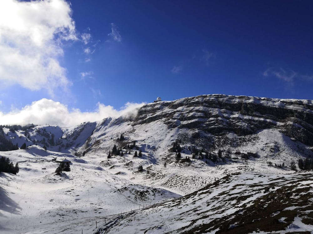
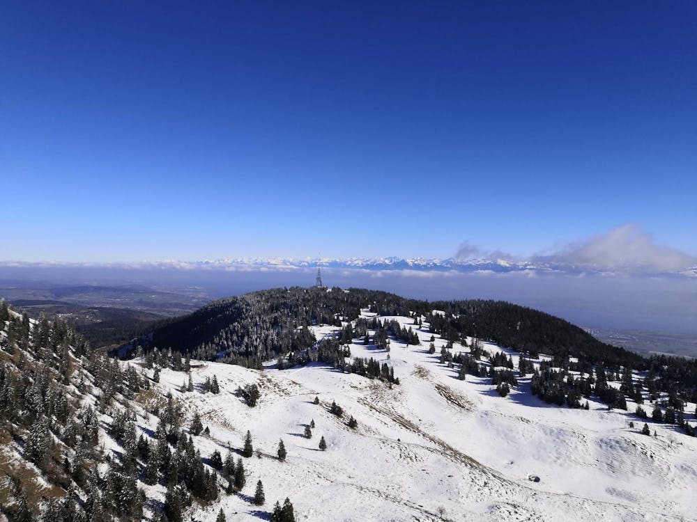
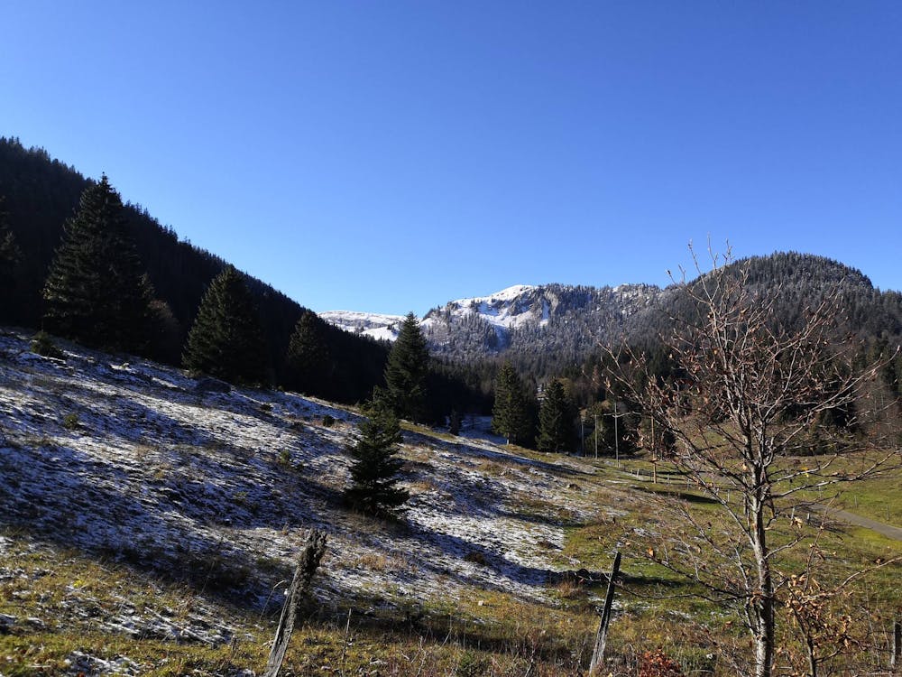
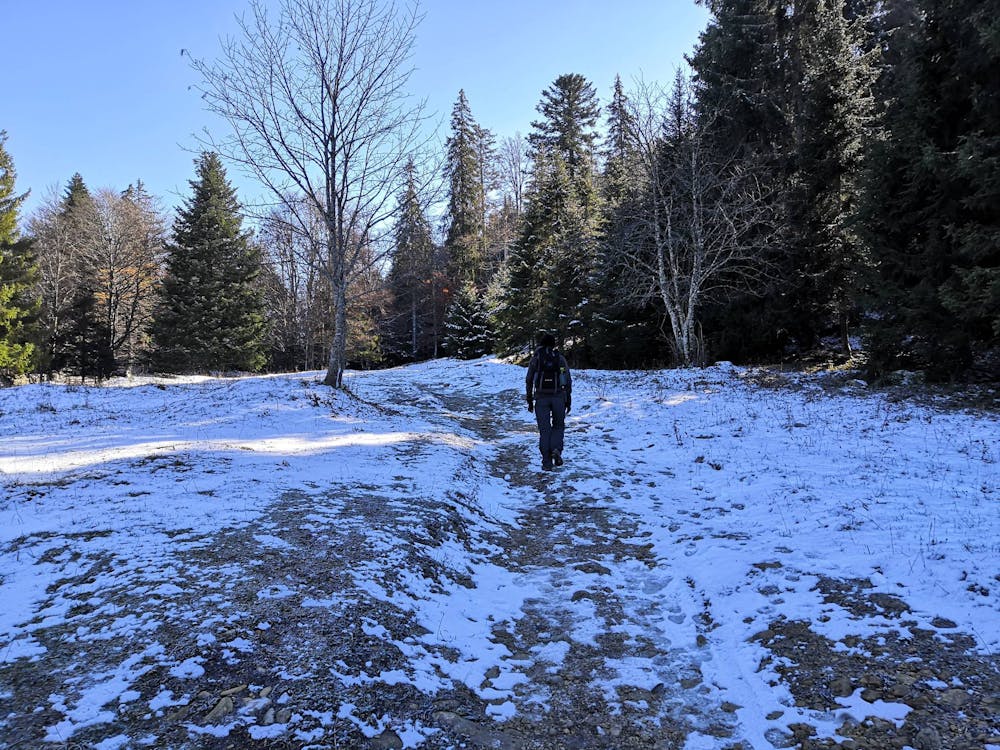
This is a popular hiking route which is generally considered to be moderate. It's not remote, it features low exposure and is typically done between April and November. From a low point of 1 km to the maximum altitude of 1.7 km, the route covers 18 km, 816 vertical metres of ascent and 815 vertical metres of descent.

- •
- •
- •
- •
- •
- •
- •
- •
- •
- •
- •
- •
- •
- •
- •
- •
- •
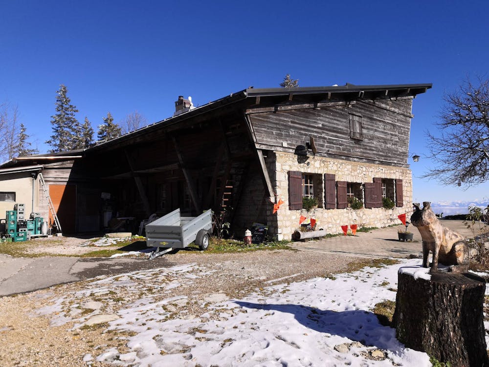
Description
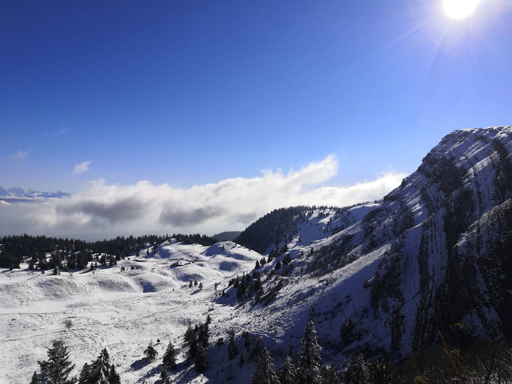
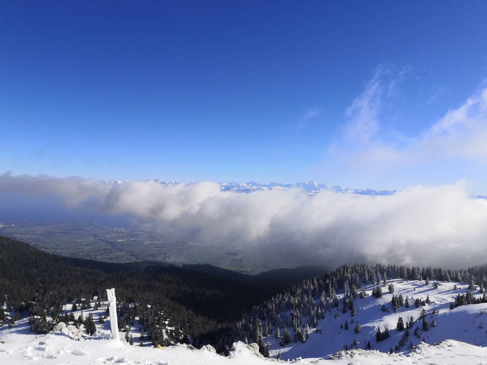
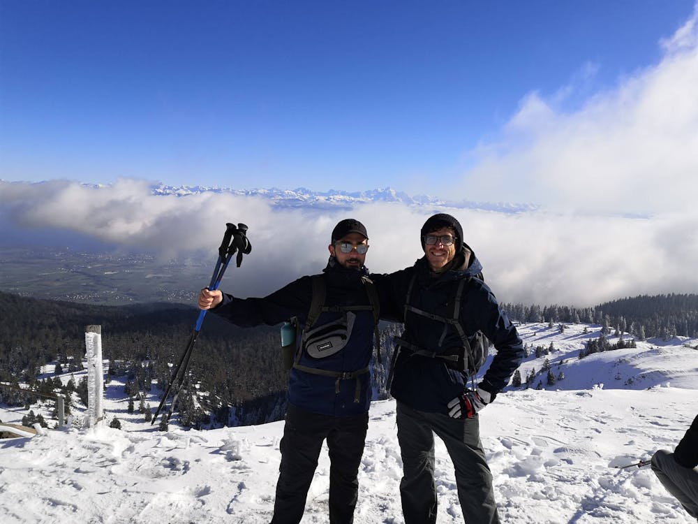
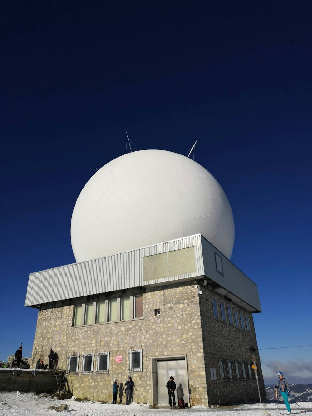
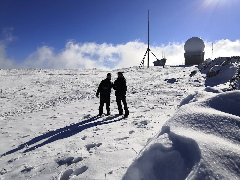
Trail davvero interessante. Raggiunti in cima si trova un bellissimo panorama che da sul Monte Bianco. La salita è dolce, non impegna molto.
Difficulty
Moderate
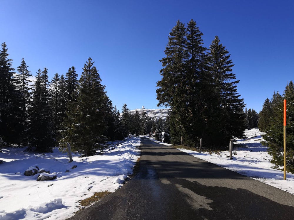
Hiking along trails with some uneven terrain and small hills. Small rocks and roots may be present.
Low Exposure

The path is on completely flat land and potential injury is limited to falling over.
Remoteness
Close to help in case of emergency.