4.3 km away
Zug.Run 04 Zugerberg - Lake Ägeri
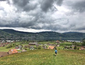
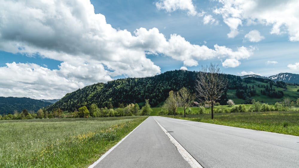
Run to Aegeri from Zugerberg and explore the hidden meadows on the Aegeri valley.
Moderate Trail Running
- Distance
- 10 km
- Ascent
- 148 m
- Descent
- 359 m
This trail mixes flat stretches, beautiful views and a tough technical climb to create a perfect combination of training and experience.
Trail Running Difficult

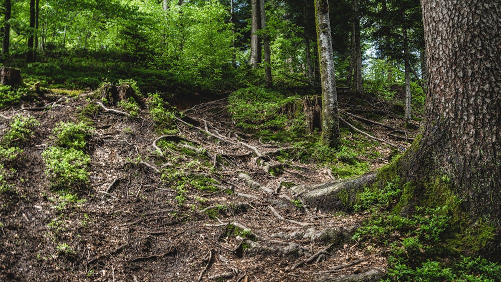
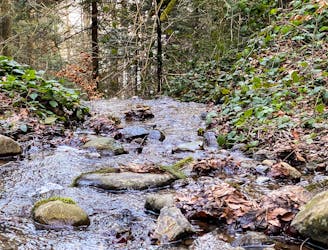
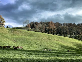
This trail mixes flat stretches, beautiful views and a tough technical climb to create a perfect combination of training and experience. The trail starts with a flat stretch along a small road from Unterägeri to the lake. The surface changes at the lake and a wide dirt road lead directly along the lake. First over meadows and later in the forest, it goes along the shore towards Naas. After the campsite, the ascent begins through the forest. First on a gravel road, then on a technical trail over roots and rock slabs.
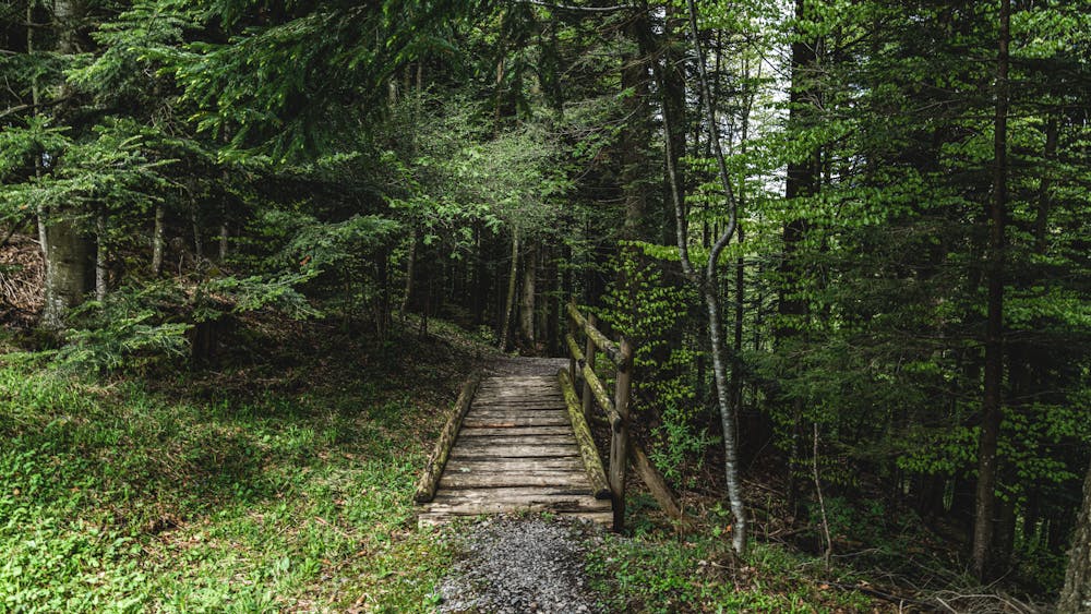
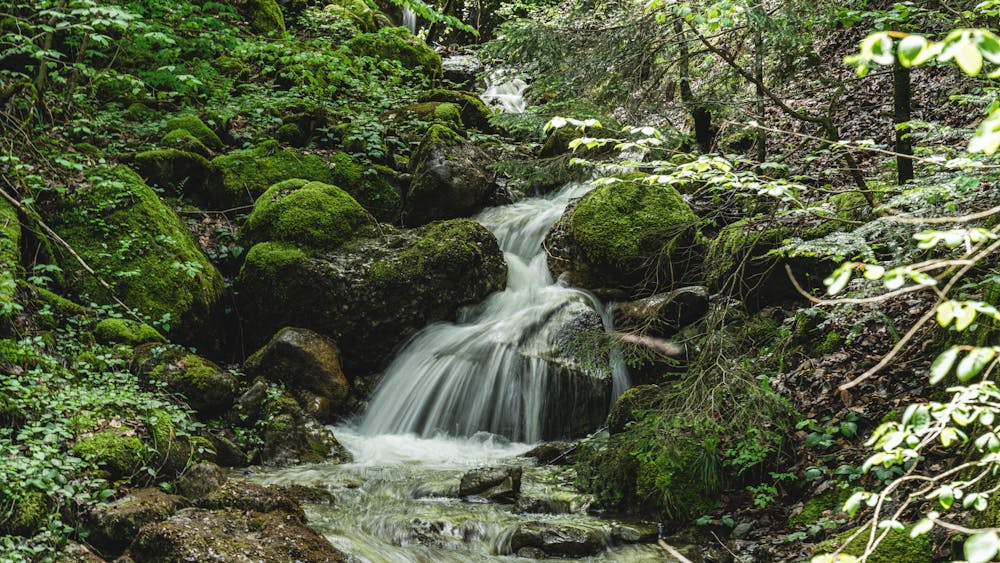
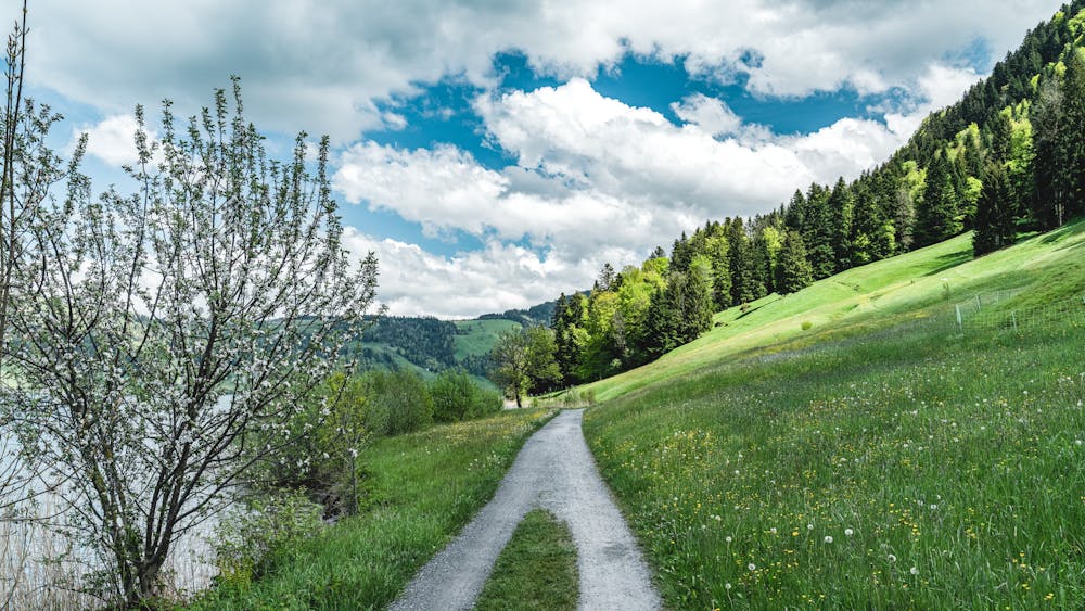
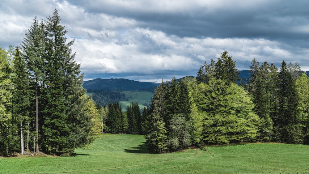
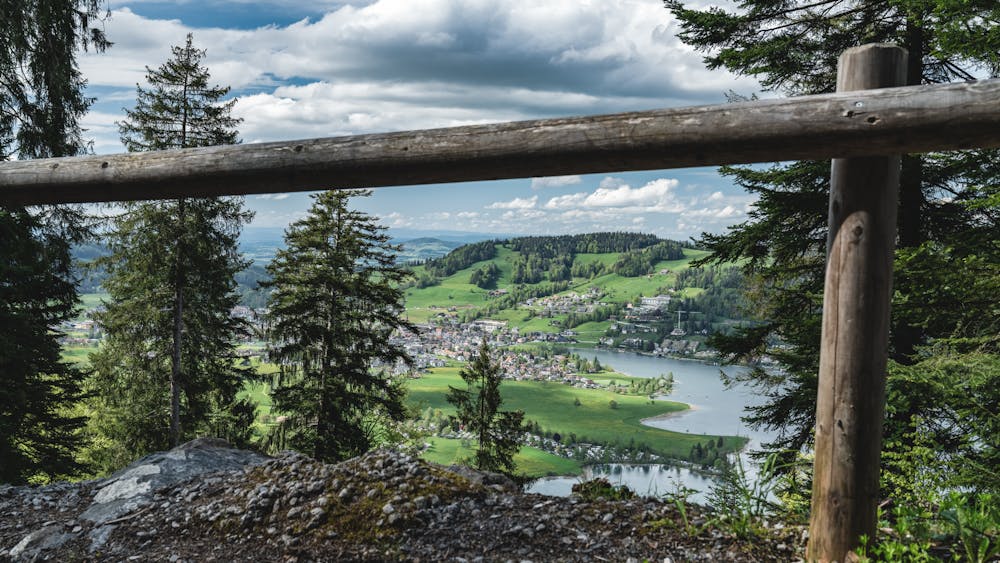
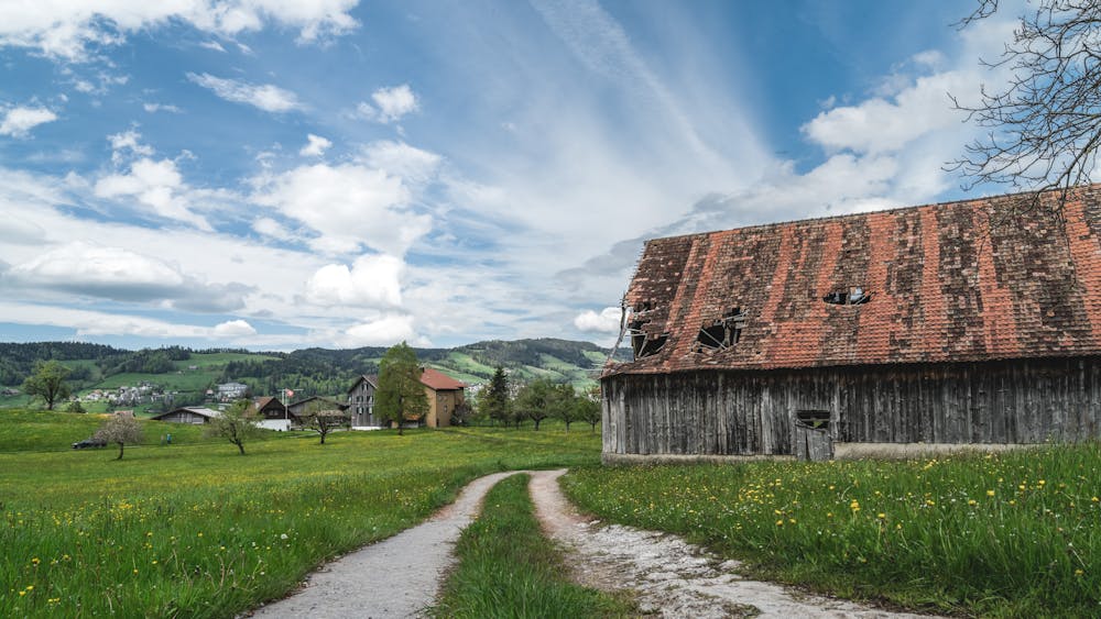
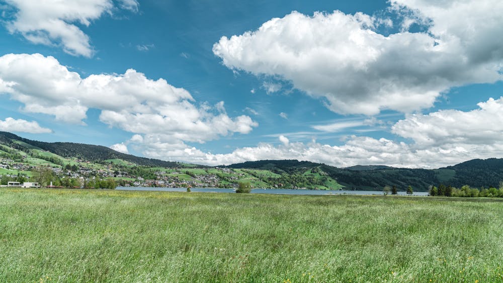
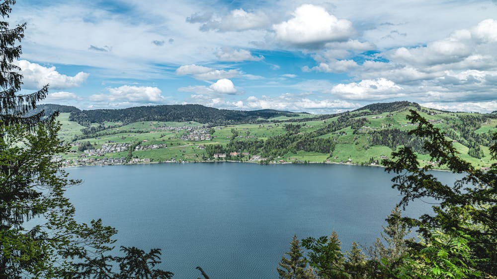
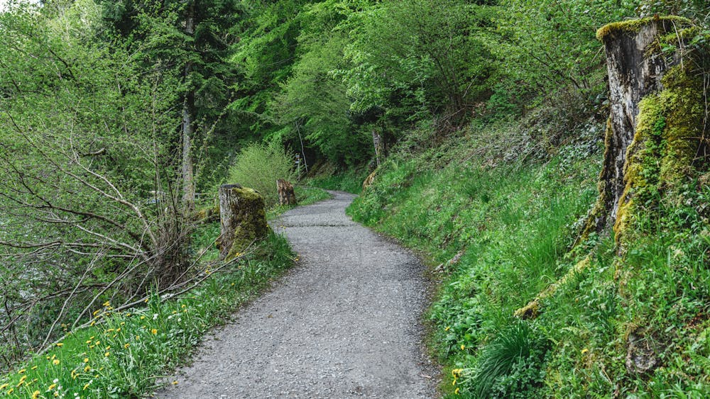
Soon the view of the lake will reward you for the hard work. After another narrow piece and two small bridges, it goes over a quiet forest clearing to the highest point of the round. The pleasant descent on a gravel road back towards the valley begins at a small hut directly on the abyss. On the way down, the view of the lake reveals itself to enjoy. At the end it goes on small farm roads among farmland back to the start point at Unterägeri.
Difficult

The path is on completely flat land and potential injury is limited to falling over.

Away from help but easily accessed.
4.3 km away
Run to Aegeri from Zugerberg and explore the hidden meadows on the Aegeri valley.
Moderate Trail Running
4.3 km away
Downhill run from Zugerberg to Zug on hidden trails on mixed terrain.
Moderate Trail Running
8 km away
Run from Baar to Hollgrotten and back alongside the Lorze river.
Easy Trail Running