9.1 km away
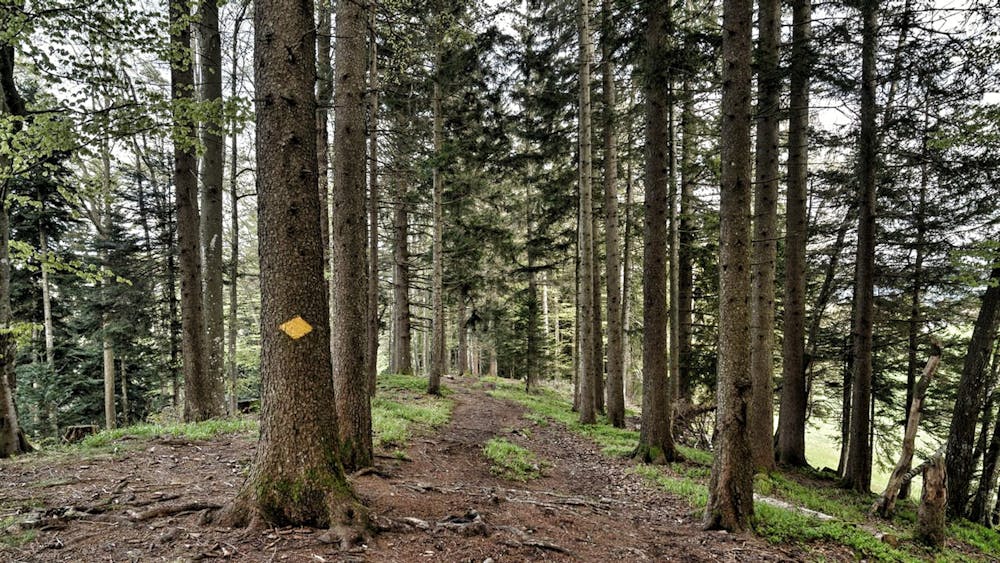
Zug.Run 04 Zugerberg - Lake Ägeri
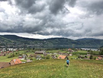
Run to Aegeri from Zugerberg and explore the hidden meadows on the Aegeri valley.
Moderate Trail Running
- Distance
- 10 km
- Ascent
- 148 m
- Descent
- 359 m
Canada in the back garden.
Trail Running Difficult

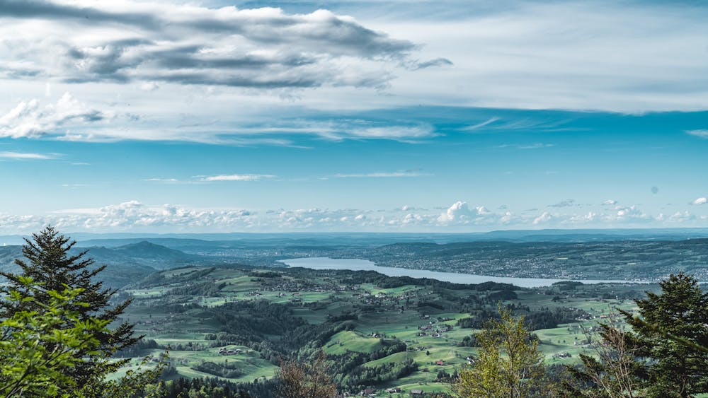
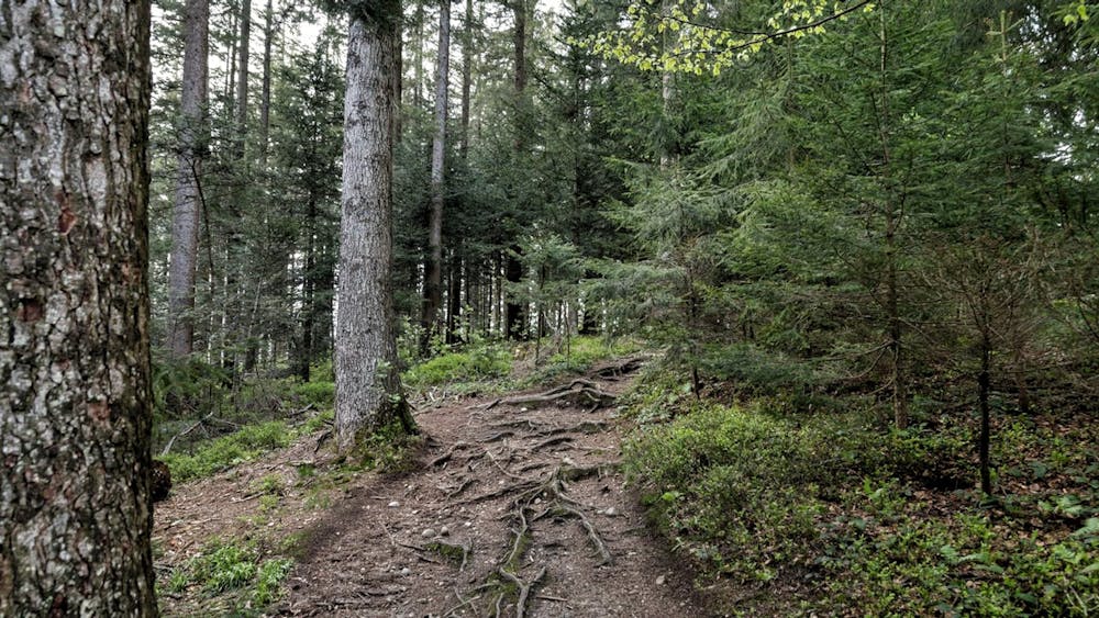
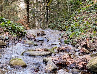
This round offers both beautiful forests and fantastic views. The trail starts on a small road through the forest before it goes up steeply for the first time on a small gravel road. After the ascent, a wide path with more technical pieces over stone slabs. At the end of the ridge, it goes back on a forest road for the ascent to the starting height. Here you can see the view towards Lake Zug, Ägerital and Hirzel. The conclusion of the first half leads past the viewing platform on Bellevue, from which the panorama of Lake Zurich can be seen.
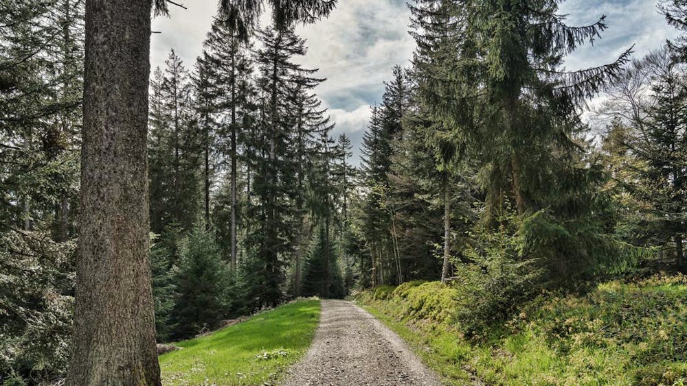
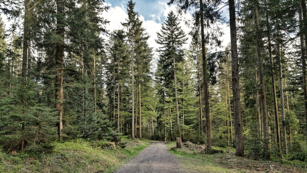
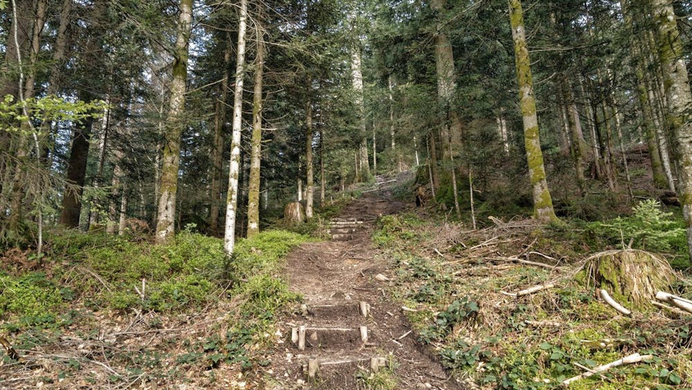
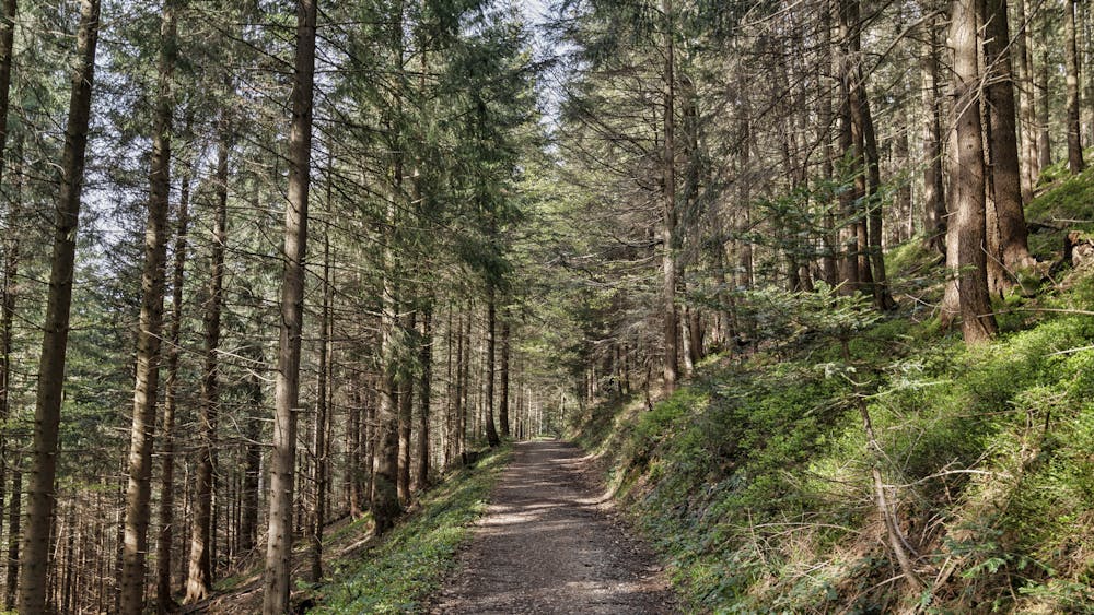
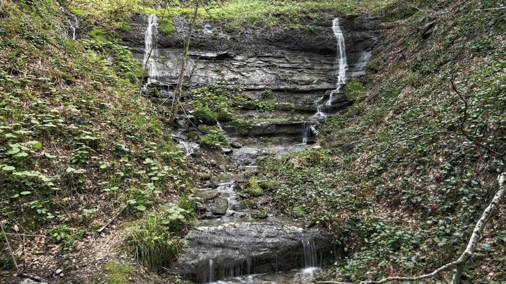
After this view, the path leads you over a narrowing trail through the forest past waterfalls and over small streams. At the lowest point of the second part, the road that rises from Finstersee is crossed. From then on, the route climbs up again over narrow paths and small wooden steps. The trail ends through a sparse forest back towards Gottschalkenberg. At the end of the Langenegg hill, there is a panorama towards Einsiedeln with Aubrig, Fluebrig and all the surrounding mountains.
Difficult

The trail contains some obstacles such as outcroppings and rock which could cause injury.
Away from help but easily accessed.
9.1 km away
Run to Aegeri from Zugerberg and explore the hidden meadows on the Aegeri valley.
Moderate Trail Running
9.2 km away
Downhill run from Zugerberg to Zug on hidden trails on mixed terrain.
Moderate Trail Running
9.9 km away
Run from Baar to Hollgrotten and back alongside the Lorze river.
Easy Trail Running