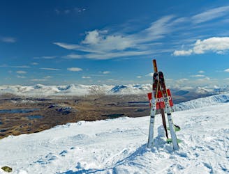
1.9 km away
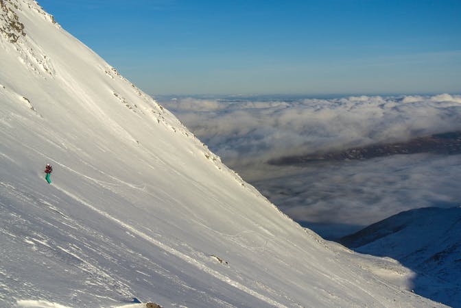
Flypaper Freeride
This is one steep ‘ol run! Varying between 40 and 45 degrees, depending on snow conditions - you want to make sure you’re switched on for this one!
Moderate Freeride Skiing
- Distance
- 1.6 km
- Ascent
- 0 m
- Descent
- 361 m
slightly steeper than the version that stays closer to the burn. on this variant go skiers left of the rocky bulge at the
Freeride Skiing Difficult

This is a popular freeride skiing route which is generally considered to be difficult. It's not remote, it features medium exposure (e2) and is typically done between January and April. From a low point of 397 m to the maximum altitude of 632 m, the route covers 422 m, 0 vertical metres of ascent and 234 vertical metres of descent.
slightly steeper that the version that stays closer to the burn. on this variant go skiers left of the rocky bulge at the top and down steeper snow slopes below. some heather waking required to finish
Difficult
Serious gradient of 30-38 degrees where a real risk of slipping exists.

As well as the slope itself, there are some obstacles (such as rock outcrops) which could aggravate injury.

Close to help in case of emergency.
1.9 km away
This is one steep ‘ol run! Varying between 40 and 45 degrees, depending on snow conditions - you want to make sure you’re switched on for this one!
Moderate Freeride Skiing
5 routes · Freeride Skiing