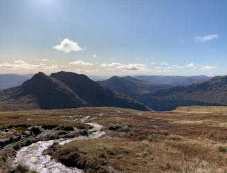
28 routes · Hiking
Explore Argyll and Bute with curated guides of the best hiking trails, and more. With over 27 3D trail maps in FATMAP, you can easily discover and navigate the best trails in Argyll and Bute.
No matter what your next adventure has in store, you can find a guide on FATMAP to help you plan your next epic trip.
Get a top trail recommendation in Argyll and Bute from one of our 3 guidebooks, or get inspired by the 27 local adventures uploaded by the FATMAP community. Start exploring now!
28 routes · Hiking
25 routes · Hiking
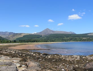
A justly popular up one of Scotland's most recognisable mountains
Difficult Hiking
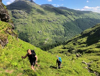
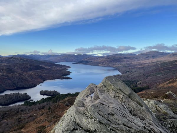
Circumnavigate "Scotland in miniature" over the course of a blissful week
Difficult Hiking
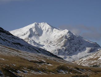
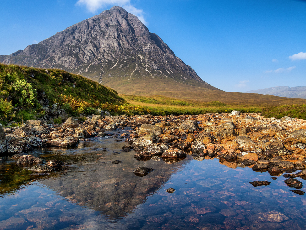
A grand mountain for a grand adventure!
Difficult Hiking
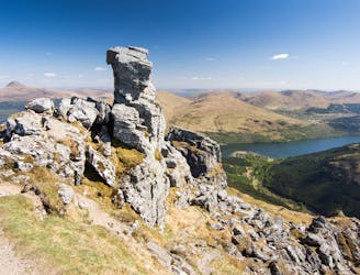
Short and stubborn, a great hike nonetheless
Difficult Hiking
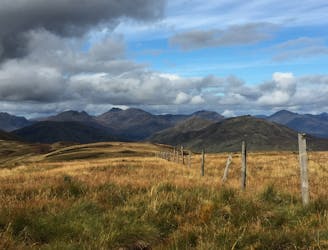
A pleasant 'wee' day out, but still packs a punch with the view!
Moderate Hiking
A big day, a big car park fee and a big load of tourists, but beat that and you'll have fantastic hike on three local area classics!
Difficult Hiking
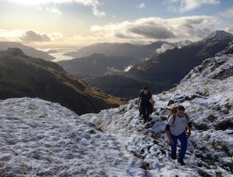
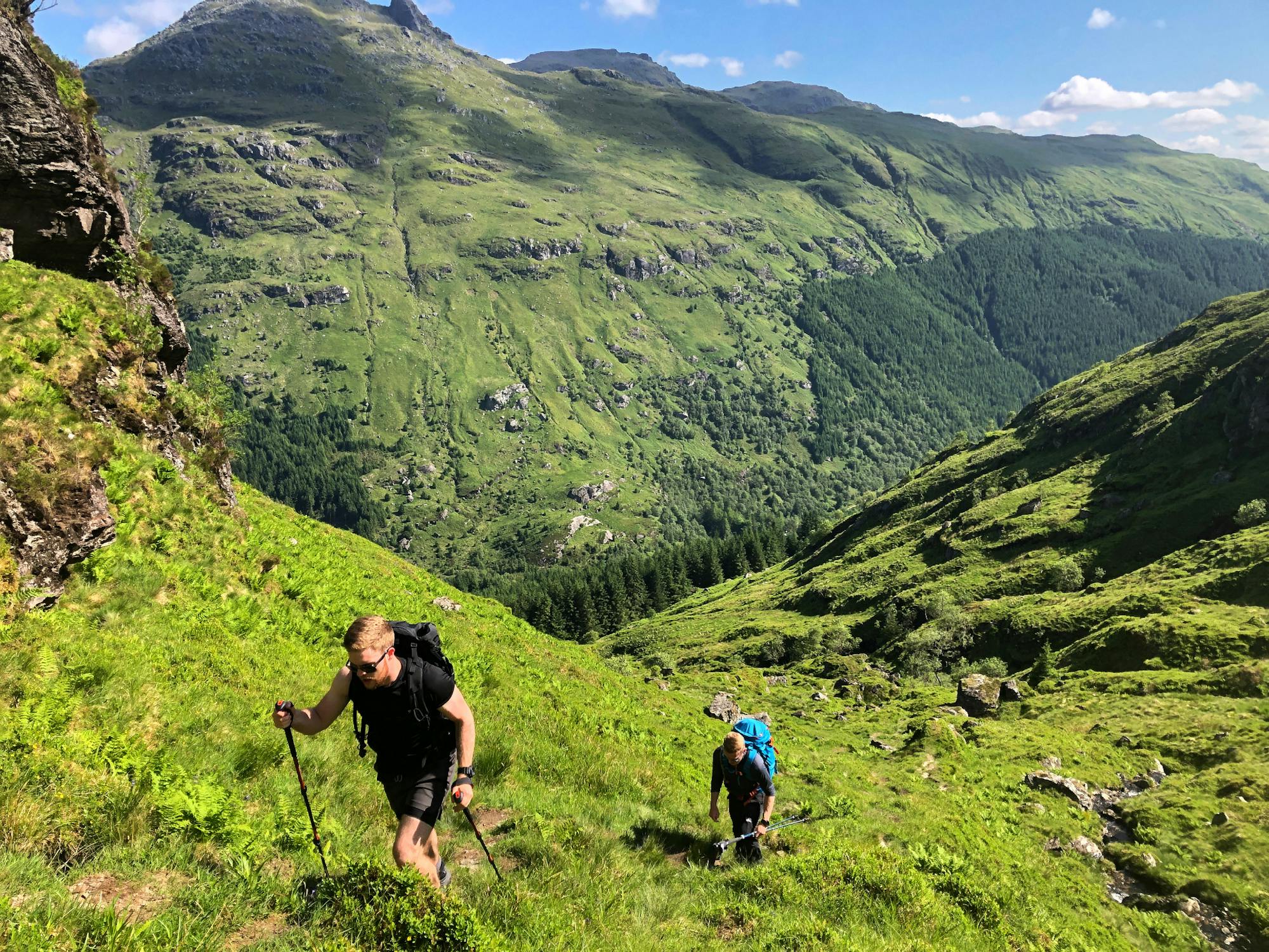
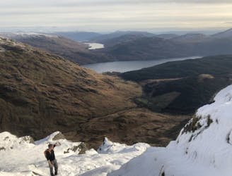
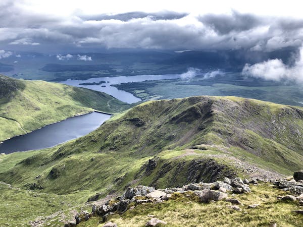
A relentless ascent but well worth it for this Loch Lomond classic!
Difficult Hiking
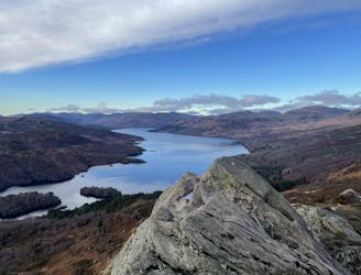
Simple and effective, without sacrificing the view!
Difficult Hiking
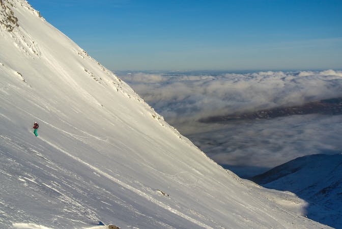
5 routes · Freeride Skiing
4 routes · Trail Running
12 routes · Hiking