13 m away
Ben Vane (916m)
Short and stubborn, a great hike nonetheless
Difficult Hiking
- Distance
- 9.7 km
- Ascent
- 889 m
- Descent
- 888 m
A relentless ascent but well worth it for this Loch Lomond classic!
Hiking Difficult

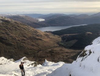
Ben Vorlich (943) is a Scottish Munro belonging to the Arrochar Alps located between the northernmost section of Loch Lomond and Loch Sloy. It is the highest point of the historic county of Dunbartonshire. There are actually two Munros called Ben Vorlich in Scotland. One is near Loch Lomond, and one is beside Loch Earn. This guide is for Ben Vorlich - Loch Lomond.
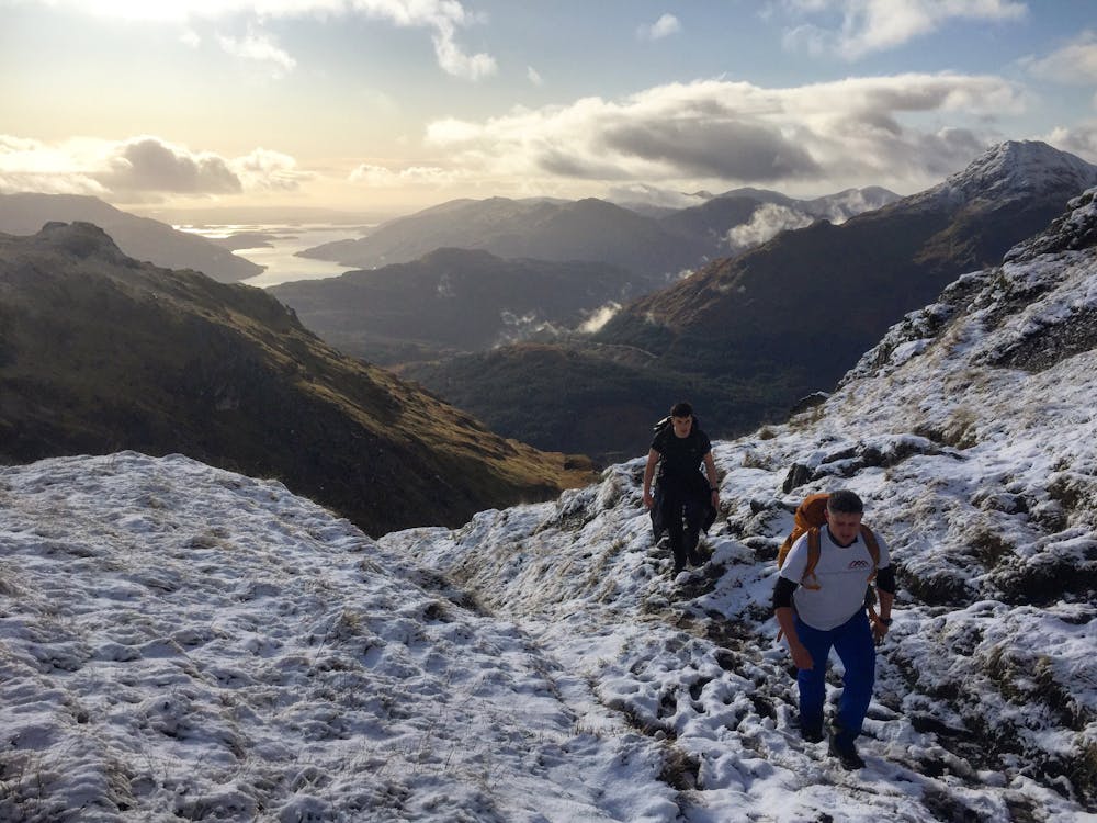
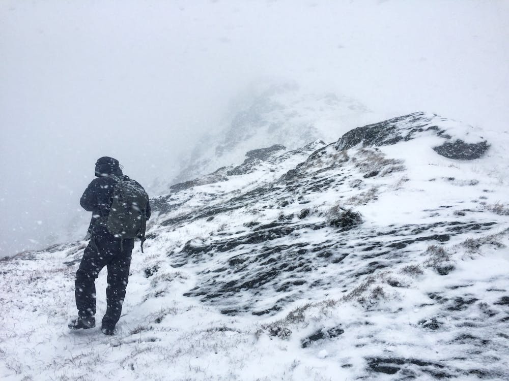
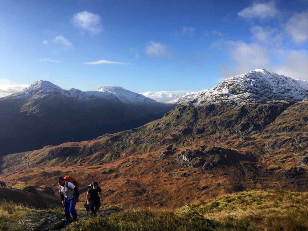
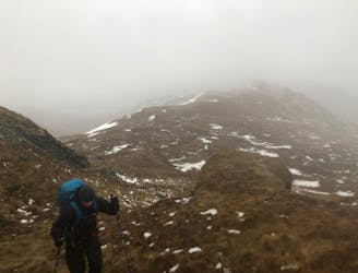
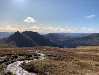
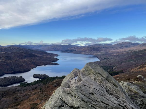
As of the publishing of this guide, the authorities have put up many signs regarding parking issues at the start point of this hike, be aware. The walk starts off following the road that runs parallel to Inveruglas water. Pass some rural farms before the hike starts bending to the right and up towards Loch Sloy. Before Loch Sloy, take a sharp right up a steep, well-worn path. This is where the fun begins. Prepare the legs for many steps as the ascent is relentless. Power on through and you'll be granted with fabulous views from the top. As you'll see from one of the photos attached to this guide, the weather can change very quickly up in the mountains. Be prepared, this is Scotland! Retrace your steps back down the path from the way you came up and meander your way back down to the start point.
This hike and guide were completed during spring weather conditions. This is just one opinion of this route. Make sure to do your own research by consulting local internet resources, mountain guides or guidebooks to evaluate other opinions so you can be best prepared for the terrain.
A Guide by Red
Difficult
Hiking trails where obstacles such as rocks or roots are prevalent. Some obstacles can require care to step over or around. At times, the trail can be worn and eroded. The grade of the trail is generally quite steep, and can often lead to strenuous hiking.

Some trail sections have exposed ledges or steep ascents/descents where falling could cause serious injury.
Little chance of being seen or helped in case of an accident.
13 m away
Short and stubborn, a great hike nonetheless
Difficult Hiking
3.1 km away
A wild, rugged, and isolated landscape. Be prepared for a grind.
Difficult Hiking
4.9 km away
A big day, a big car park fee and a big load of tourists, but beat that and you'll have fantastic hike on three local area classics!
Difficult Hiking
5 km away
A justly popular up one of Scotland's most recognisable mountains
Difficult Hiking
7.4 km away
Simple and effective, without sacrificing the view!
Difficult Hiking
12 routes · Hiking