2.8 km away
The Cobbler / Beinn Artair
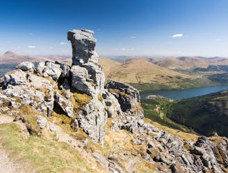
A justly popular up one of Scotland's most recognisable mountains
Difficult Hiking
- Distance
- 11 km
- Ascent
- 862 m
- Descent
- 862 m
Simple and effective, without sacrificing the view!
Hiking Difficult

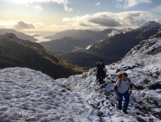
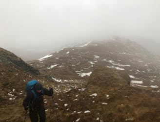
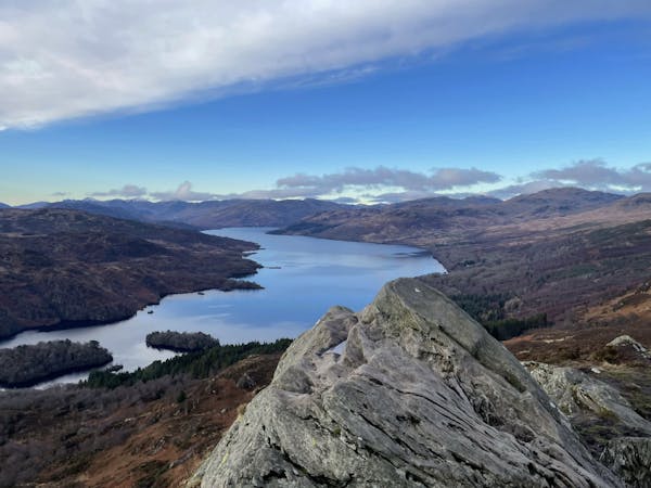
The Brack (787m) belongs to the category of Scottish Corbett’s located in the Arrochar Alps. Although it will never be as popular as its northern neighbour – the Cobbler – it makes for an enjoyable day out for those wanting to escape large groups of humans, without sacrificing any of the incredible mountain scenery. This mountain can be summited via several different routes but this guide and GPX file displays the most common ascent, starting just south on the A83 of the famous Rest and Be Thankful viewpoint.
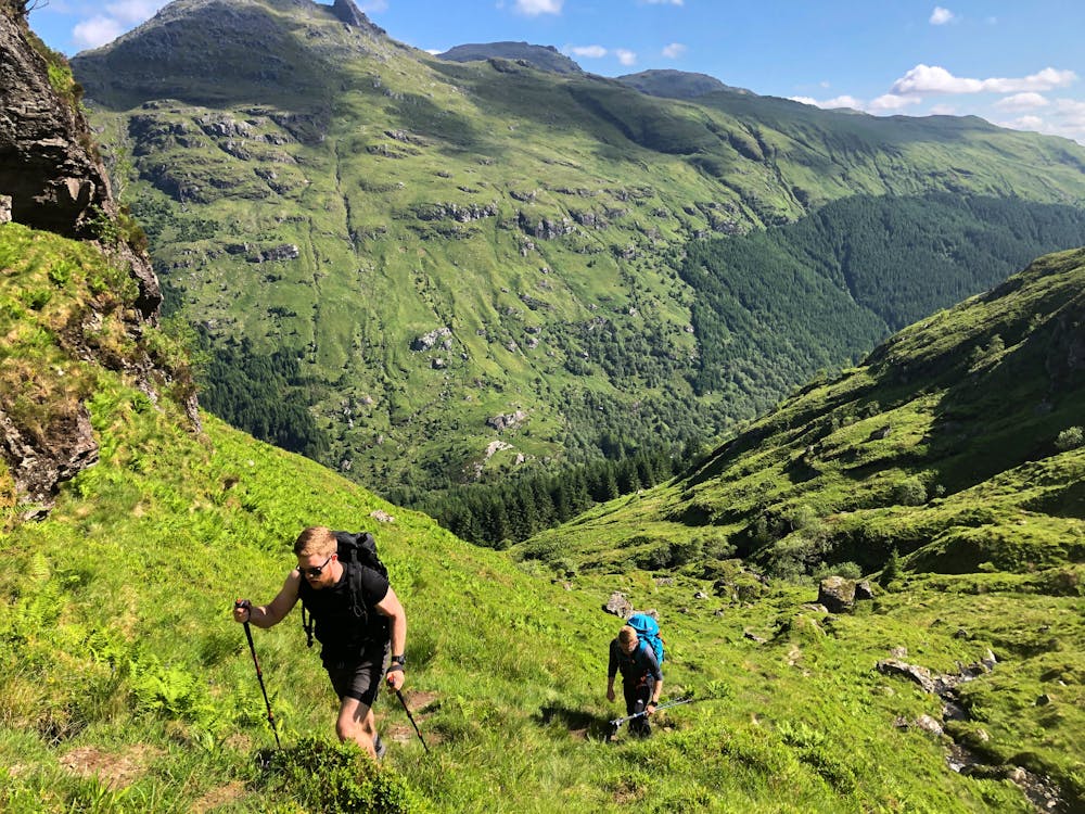
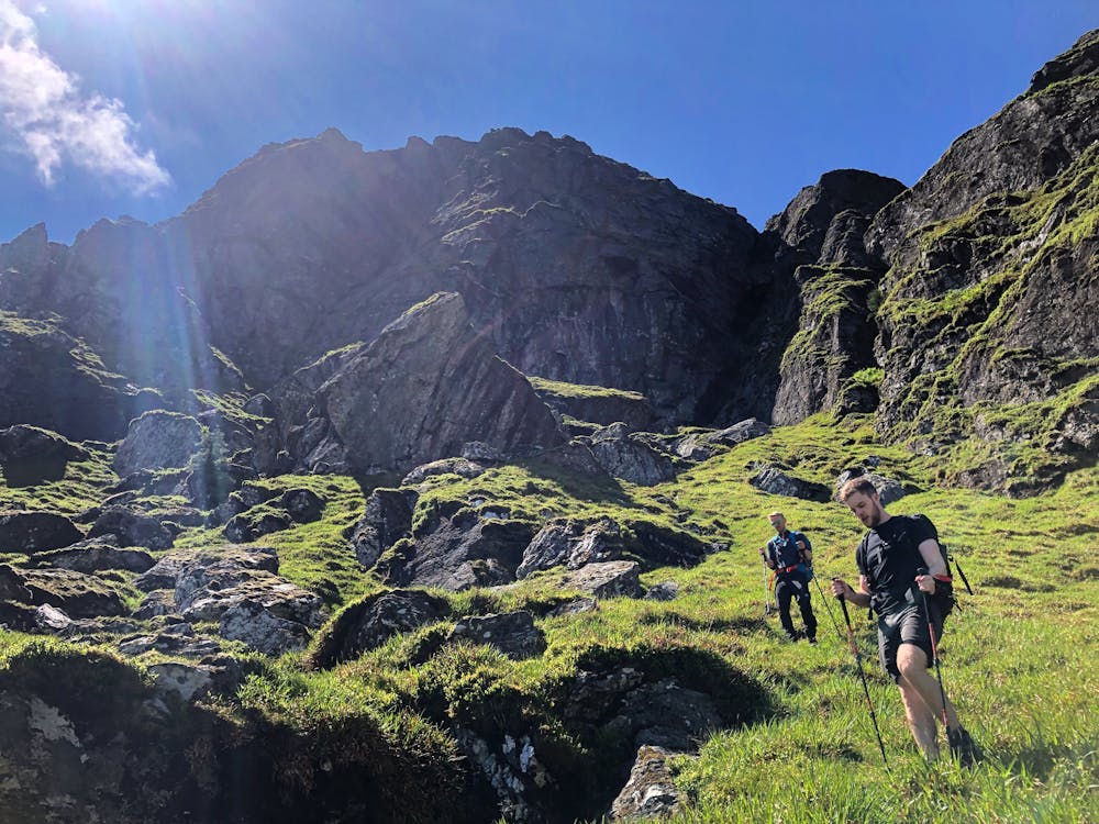
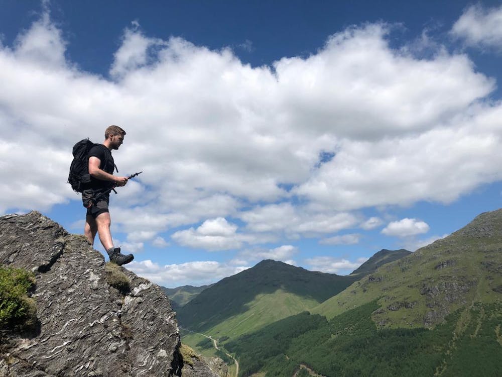
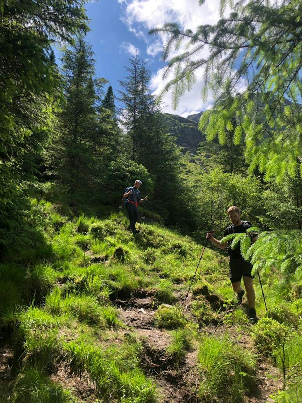
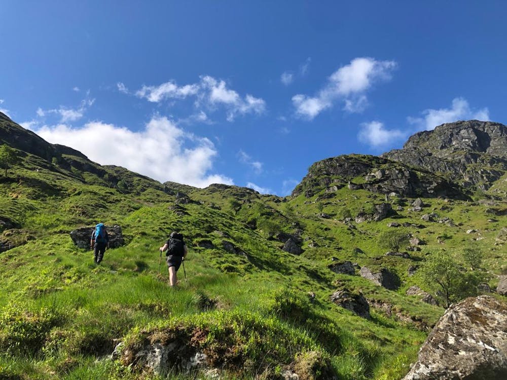
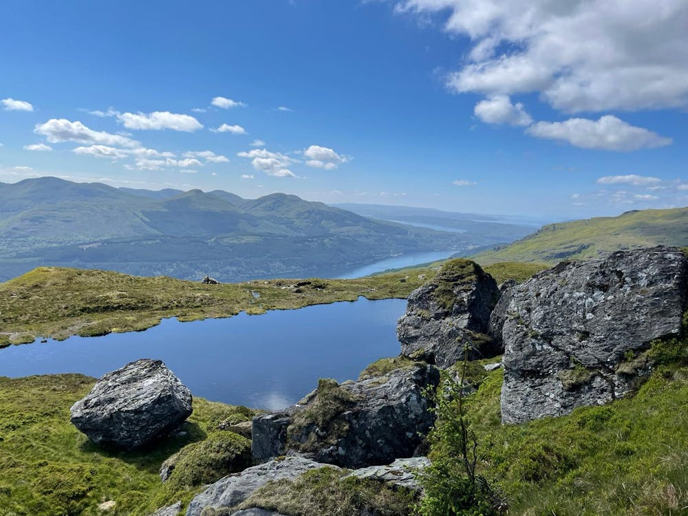
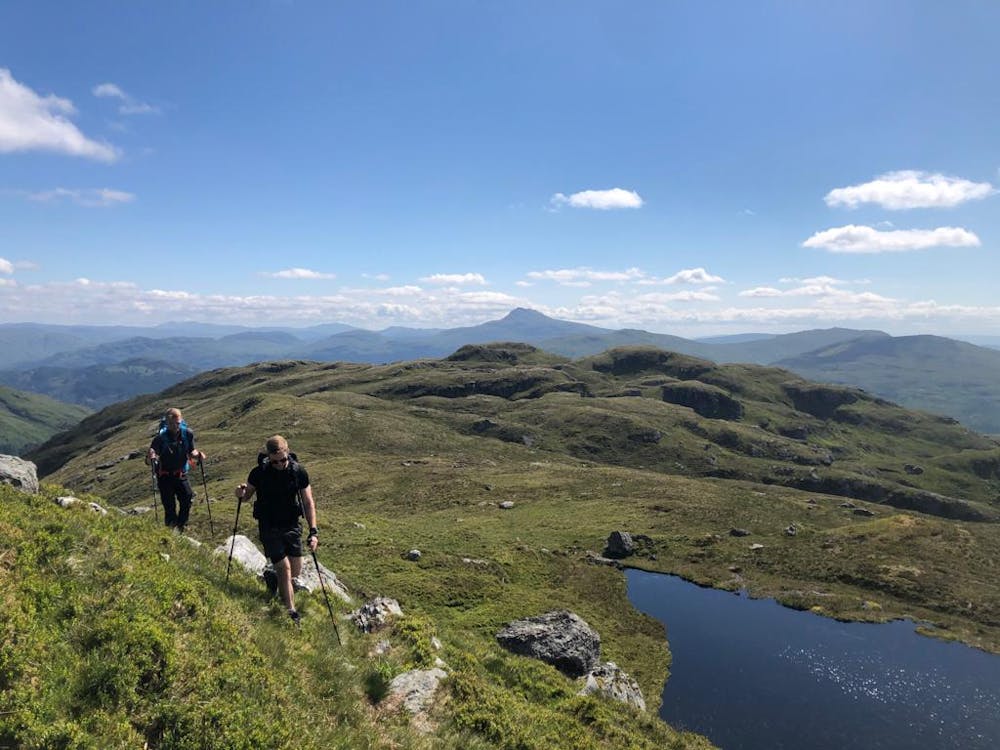
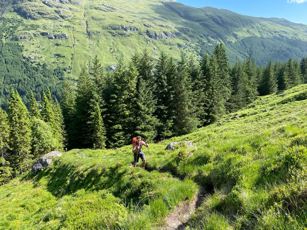
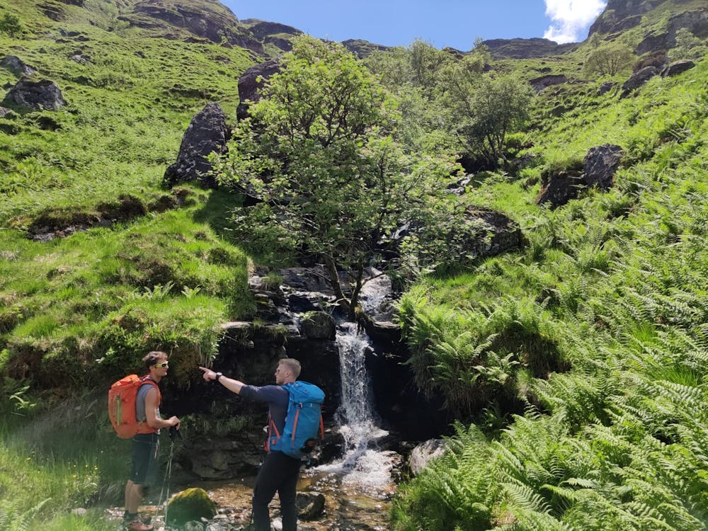
A convenient car park allows for a quick summit for those not wanting an all-day'er. The trail starts by following Croe Water surrounded by Scottish forest, before turning steeply onto more familiar highland terrain at higher altitude. Cliff bands do exist in this terrain so stick to the trail if your aim is to avoid. Excellent views from the top and for those wanting more, the Brack can be descended along the Southwestern ridge to ascend Cnoc Còinnich, (763m). Retrace your steps back to the car.
This hike and guide were completed during summer weather conditions. This is just one opinion of this route. Make sure to do your own research by consulting local internet resources, mountain guides or guidebooks to evaluate other opinions so you can be best prepared for the terrain.
A Guide by Red
Difficult
Hiking trails where obstacles such as rocks or roots are prevalent. Some obstacles can require care to step over or around. At times, the trail can be worn and eroded. The grade of the trail is generally quite steep, and can often lead to strenuous hiking.

The trail contains some obstacles such as outcroppings and rock which could cause injury.
Away from help but easily accessed.
2.8 km away
A justly popular up one of Scotland's most recognisable mountains
Difficult Hiking
2.8 km away
A big day, a big car park fee and a big load of tourists, but beat that and you'll have fantastic hike on three local area classics!
Difficult Hiking
7.4 km away
Short and stubborn, a great hike nonetheless
Difficult Hiking
7.4 km away
A relentless ascent but well worth it for this Loch Lomond classic!
Difficult Hiking
9.9 km away
A wild, rugged, and isolated landscape. Be prepared for a grind.
Difficult Hiking
12 routes · Hiking