5.5 km away
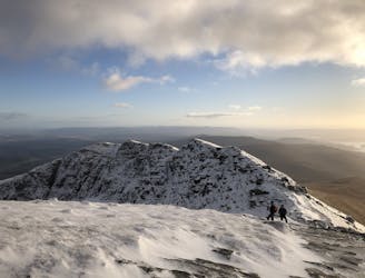
Ben Lomond (974m) and Ptarmigan (731m)
Fantastic views of Loch Lomond and beyond!
Difficult Hiking
- Distance
- 12 km
- Ascent
- 980 m
- Descent
- 980 m
A pleasant 'wee' day out, but still packs a punch with the view!
Hiking Moderate

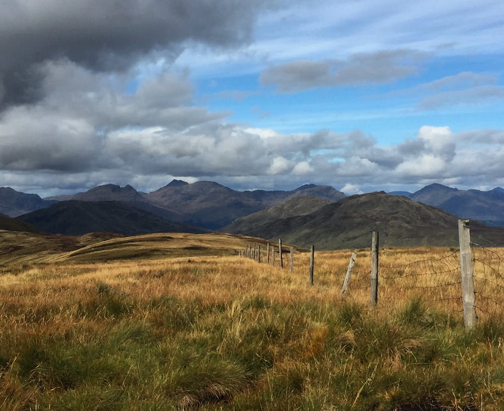
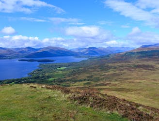
Beinn Dubh (642m) sits above the village of Luss on the beautiful shores of Loch Lomond. The shorter circuit that bends round Glen Striddle makes a perfect getaway from the bright lights of Glasgow. The route provides fantastic views across Loch Lomond and towards the Arrochar Alps.
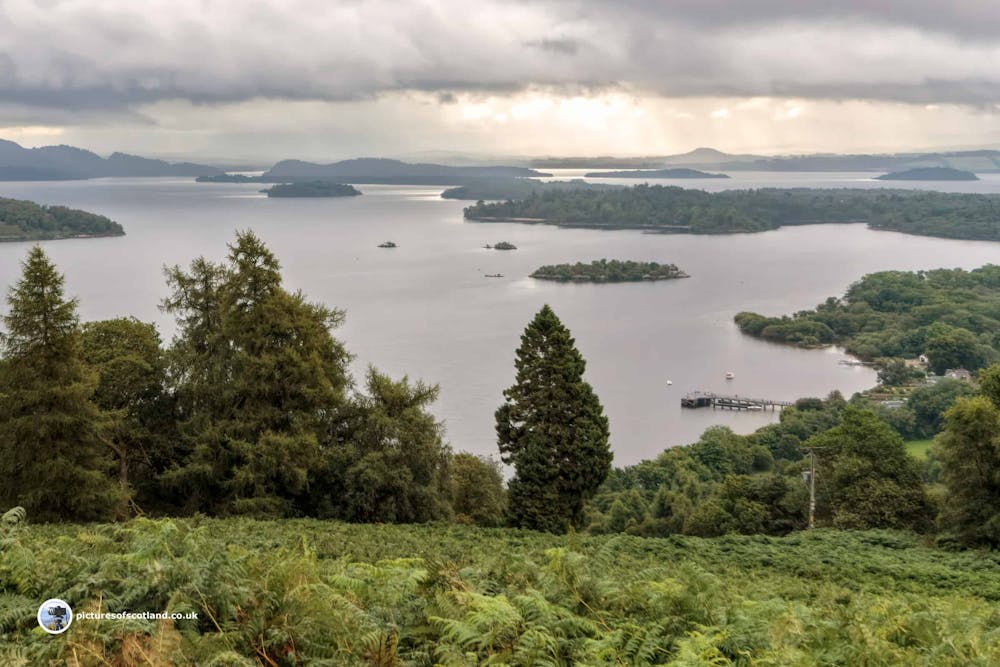
Enter Luss from the A82 and park in the car park. Take in the beautiful views across Loch Lomond before setting off towards the centre of the village. Turn right towards the primary school before following the path up and over to use a footbridge that takes you over the A82 road. On the other side, aim for a kissing gate and once through turn right to start ascending. The path climbs through some sparse trees before opening to a grassy ridge that leads you pleasantly up to the summit of Beinn Dubh. Take in the fantastic views where the flatlands end, and the highlands begin.
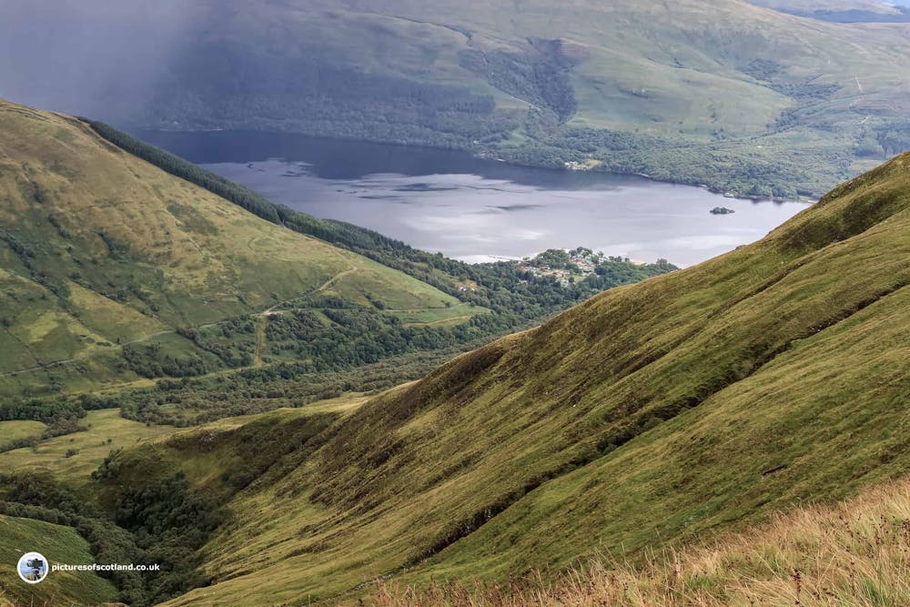
After a sandwich and selfie, continue on the path to snake west towards Coire na h-Eanachan (657m) and descend the ridge with Glen Striddle on your left to end up on the main access road into the Glen. Follow the road along passing farms to take you nicely back to the footbridge over the A82 and into the car park. Top Tip: after arriving back at the car park at Luss, immediately head for the shores of Loch Lomond to unequip your hiking boots and socks. Wade into the cool water and let Loch Lomond wash away all that build-up of sweat after a great hike, it feels amazing. You can thank me later.
This hike and guide were completed during summer weather conditions. This is just one opinion of this route. Make sure to do your own research by consulting local internet resources, mountain guides or guidebooks to evaluate other opinions so you can be best prepared for the terrain.
A Guide by Red
Moderate
Hiking along trails with some uneven terrain and small hills. Small rocks and roots may be present.

The trail contains some obstacles such as outcroppings and rock which could cause injury.
Away from help but easily accessed.
5.5 km away
Fantastic views of Loch Lomond and beyond!
Difficult Hiking
6.6 km away
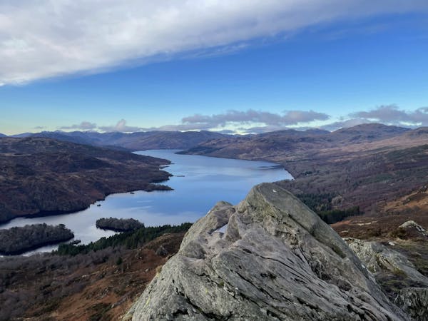
One of the most popular day hikes from Glasgow provides fabulous views over Loch Lomond
Difficult Hiking
12 routes · Hiking