6.6 km away
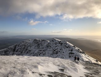
Beinn Dubh (642m) and the Glen Striddle Circular
A pleasant 'wee' day out, but still packs a punch with the view!
Moderate Hiking
- Distance
- 12 km
- Ascent
- 721 m
- Descent
- 721 m
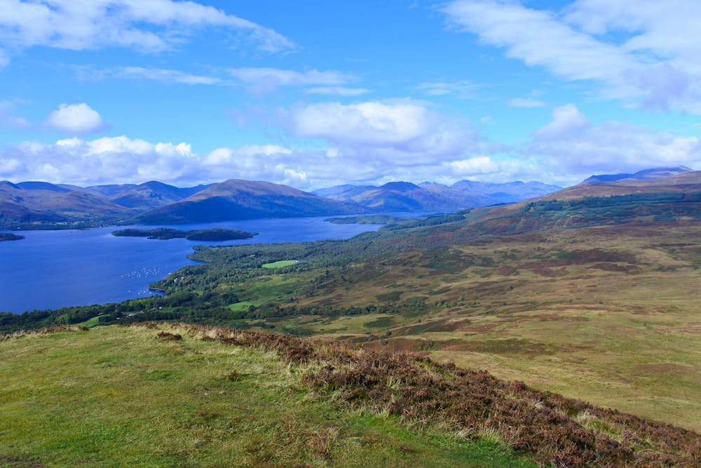
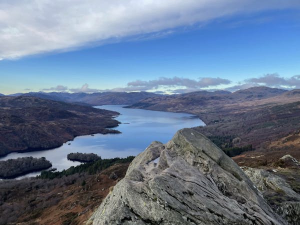
One of the most popular day hikes from Glasgow provides fabulous views over Loch Lomond
Hiking Difficult
Lying close to Glasgow but feeling remarkably wild, Conic Hill is one of the most popular day hikes in Scotland. The views across Loch Lomond and its many islands are fabulous, and the ascent is nicely satisfying without being truly difficult.
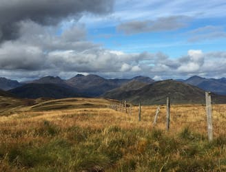
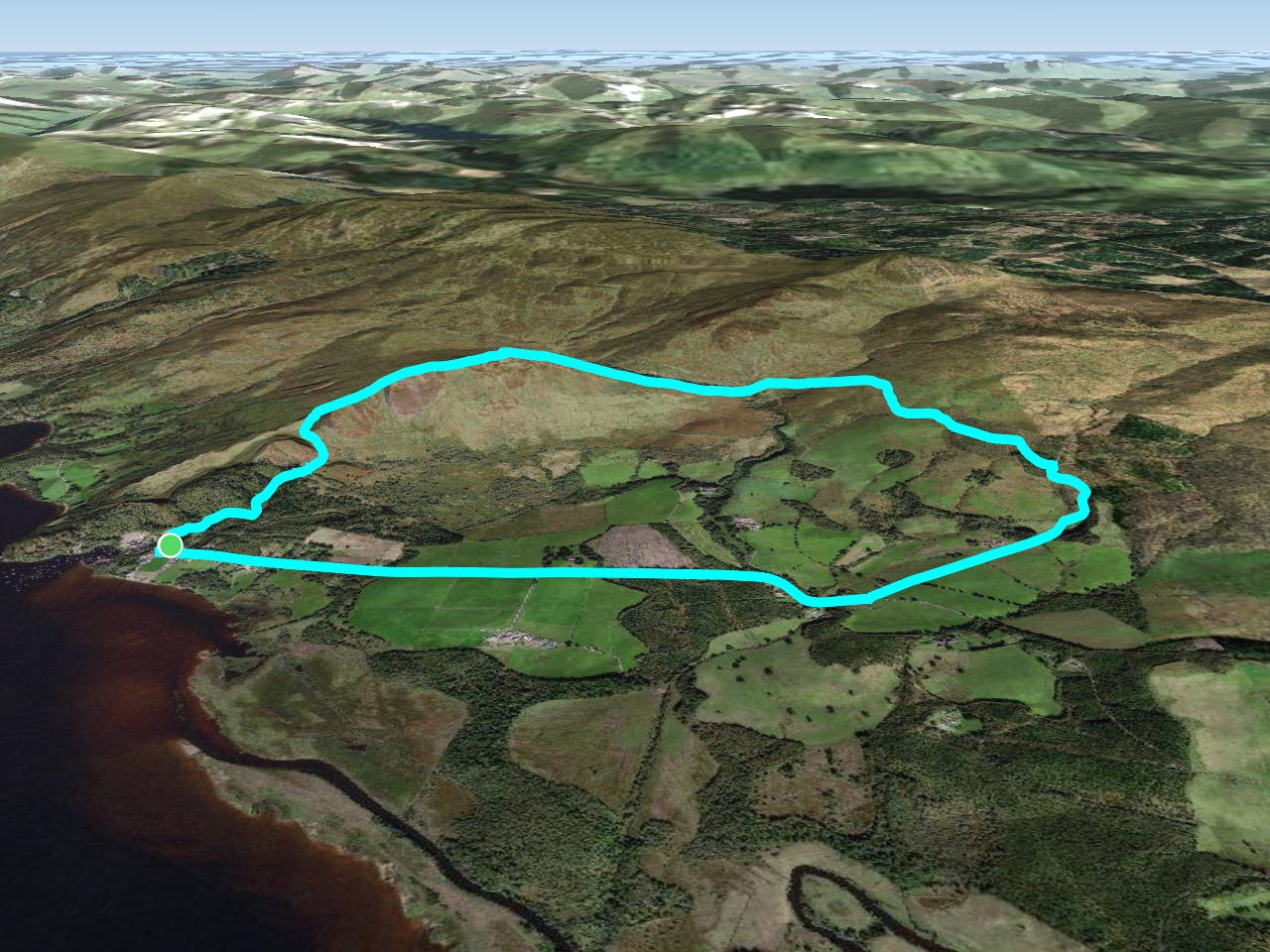
The route can be reached via a bus from Balloch and starts at the Balmaha carpark, right beneath Conic Hill. The trail is clear from the start and climbs up through forests before emerging into more open terrain as it reaches a broad col just north of point 187m. The path has wooden steps in places so you can keep your feet dry, but you'll probably get them wet (!) if you detour across boggy ground from the col to a nearby viewpoint just to the west which has an amazing vista over Loch Lomond.
Get back on the path (which coincidentally is part of the West Highland Way) and climb across the north-west flank of Conic Hill. Cut off the path and get onto the summit ridge of the peak, and follow it - via ever-improving views - to the top. Soak it all in!
Either retrace your steps back to Balmaha or (better) follow the line drawn here and continue along the West Highland Way as it descends to and then crosses over the Burn of Mar via a small footbridge. Once over the burn, follow the clear path that winds down to the Milton of Buchanan, from where a walk along the road (albeit on a pavement) or a ride on the bus back to Balmaha await.
Difficult
Hiking trails where obstacles such as rocks or roots are prevalent. Some obstacles can require care to step over or around. At times, the trail can be worn and eroded. The grade of the trail is generally quite steep, and can often lead to strenuous hiking.

The trail contains some obstacles such as outcroppings and rock which could cause injury.
Away from help but easily accessed.
6.6 km away
A pleasant 'wee' day out, but still packs a punch with the view!
Moderate Hiking
9.6 km away
A short but famous stroll to a historical landmark
Moderate Hiking
9.9 km away
Fantastic views of Loch Lomond and beyond!
Difficult Hiking
12 routes · Hiking