28 routes · Hiking
Explore Stirling with curated guides of the best hiking trails, and more. With over 22 3D trail maps in FATMAP, you can easily discover and navigate the best trails in Stirling.
No matter what your next adventure has in store, you can find a guide on FATMAP to help you plan your next epic trip.
Get a top trail recommendation in Stirling from one of our 1 guidebooks, or get inspired by the 22 local adventures uploaded by the FATMAP community. Start exploring now!
28 routes · Hiking
9 routes · Hiking
One of the easiest-to-reach Scottish natural landmarks is a beautiful sight
Easy Hiking
A short but famous stroll to a historical landmark
Moderate Hiking
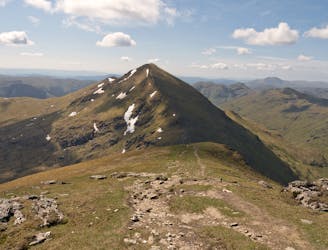
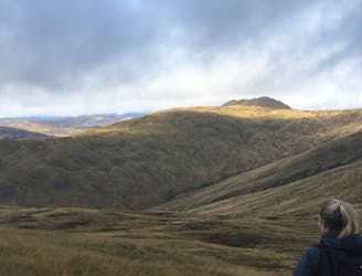
Bag a couple of scenic munros just above Crianlarich
Difficult Hiking
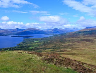
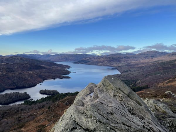
One of the most popular day hikes from Glasgow provides fabulous views over Loch Lomond
Difficult Hiking
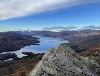
The miniature mountain offering big views!
Moderate Hiking
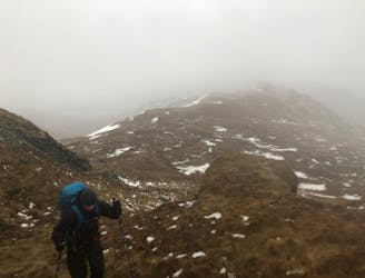
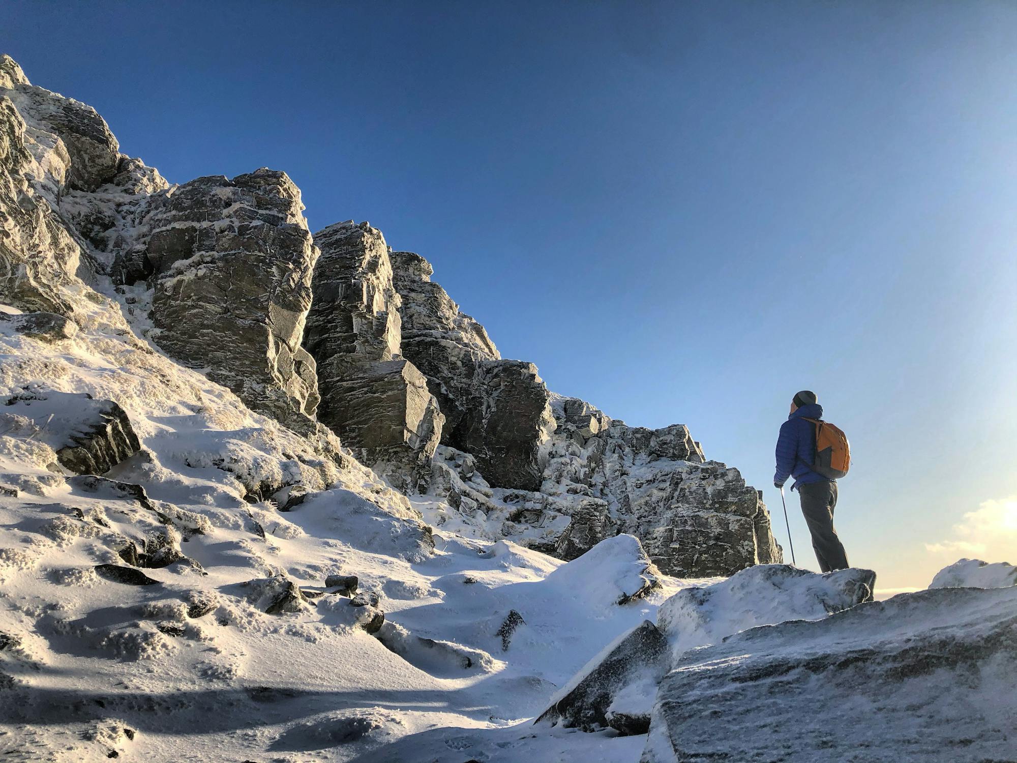
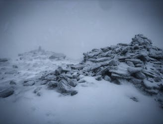
A wild, rugged, and isolated landscape. Be prepared for a grind.
Difficult Hiking
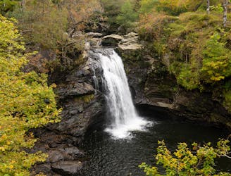
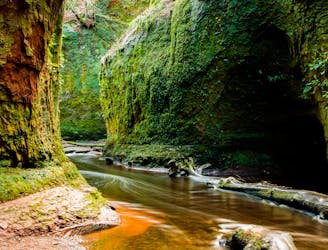
A popular hike in a romantic landscape
Difficult Hiking
A long ascent to reach the Loch Lomond and Trossach's highest peak!
Difficult Hiking
12 routes · Hiking