8 km away
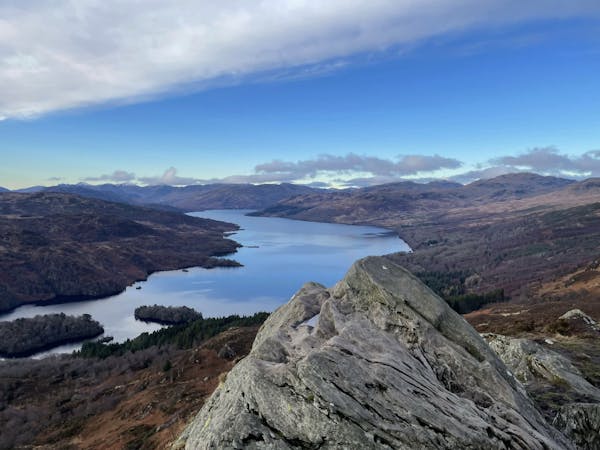
Ben A'an (454m)
The miniature mountain offering big views!
Moderate Hiking
- Distance
- 3.8 km
- Ascent
- 352 m
- Descent
- 352 m
A popular hike in a romantic landscape
Hiking Difficult

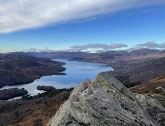
Ben Ledi (Scottish Gaelic - Beinn Leitir) is a recognised Scottish Corbett that is located six kilometres northwest of the village of Callander, which is easily access from Glasgow by car. This is area often regarded as having some of the most romantic scenery in the Highlands.
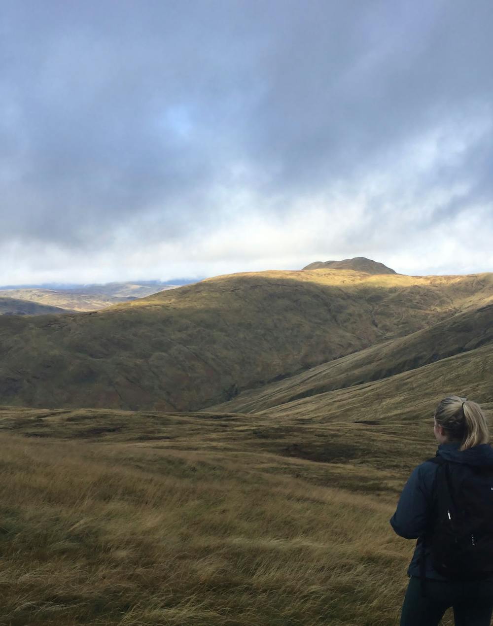
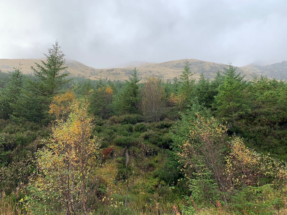
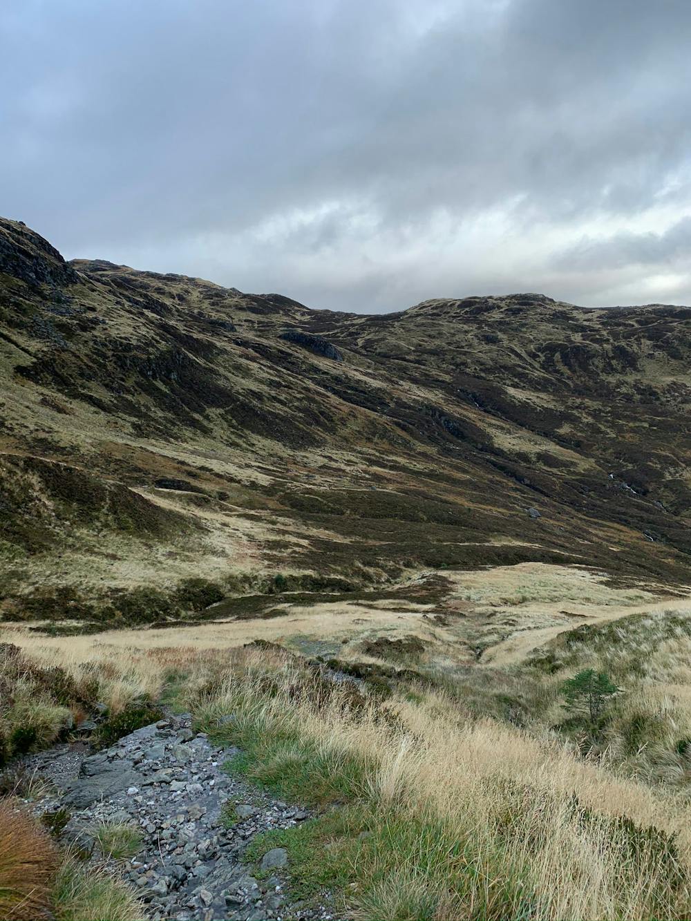
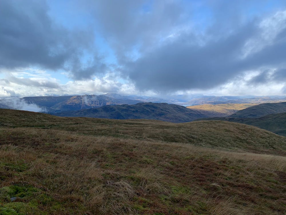
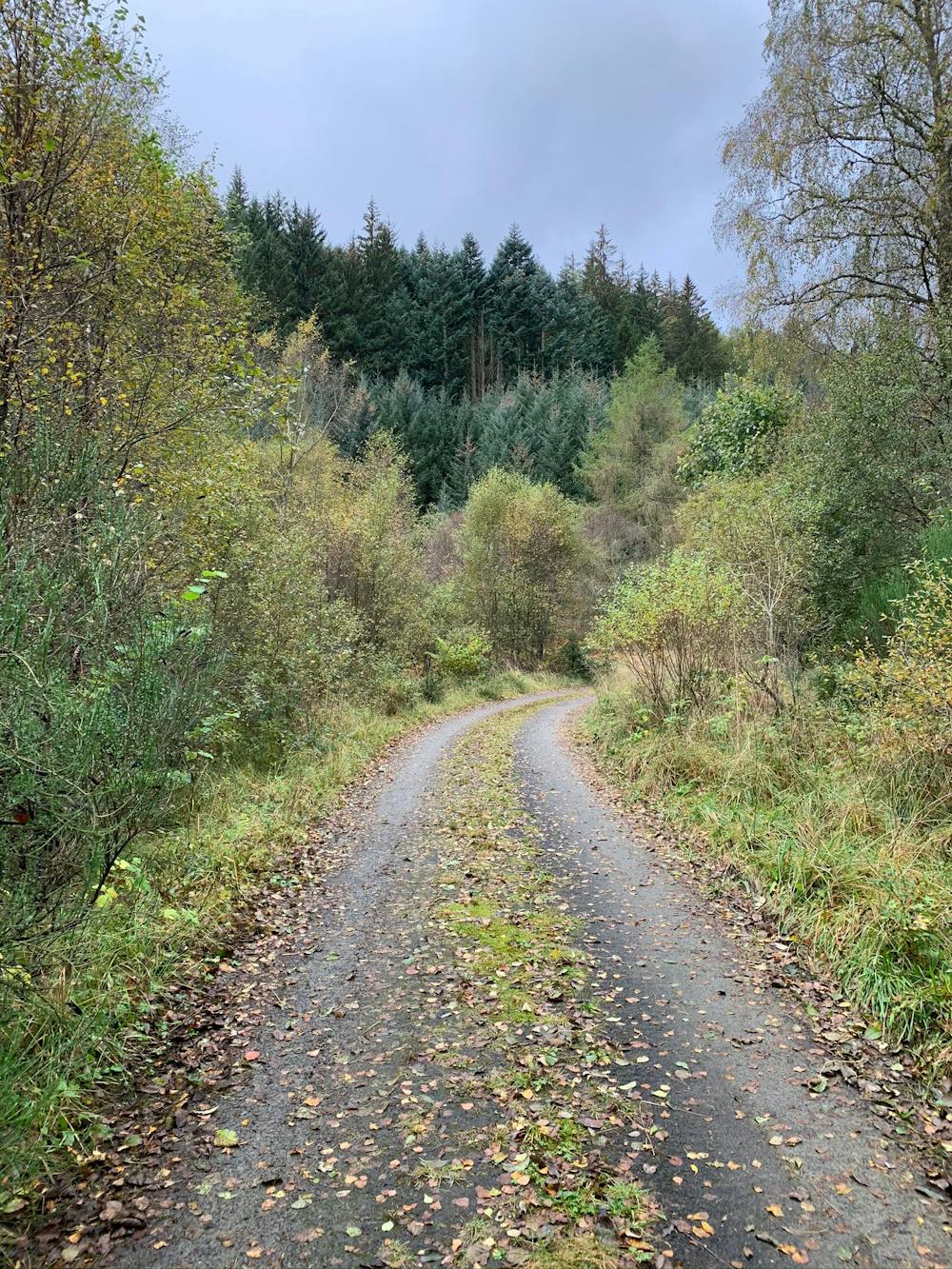
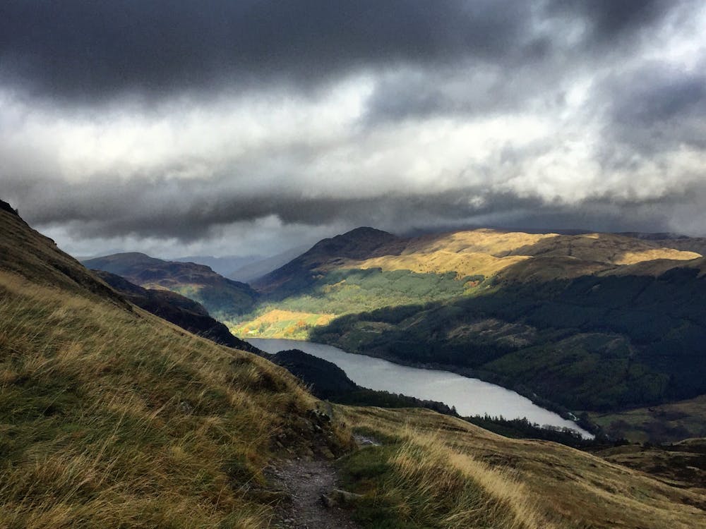
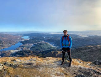
Leave the car park heading northeast towards Loch Lubnaig. Pass some houses on a road suitable for vehicles, but watch out for the postman who thinks he’s Colin McRae. Before long turn left to start ascending through forest. The path takes you parallel to Stank Burn, the river / stream that runs out of the Glen. The trail continues to take you up into the Glen before reaching the ridge that connects Ben Ledi to Stuc Dhudh (662m). Turn left here and make your way up to the summit. Excellent views await as you serenade your partner with a Gaelic love song and haggis sandwich in apparently the most romantic scenery in the Highlands. Once all the Instagram content has been collected, descend southeast on a fairly steep slope that seems to go on for along time. Follow the trail back to the car park and let the romance continue by going for a hand-in-hand stroll around the scenic village of Callander.
This hike and guide were completed during summer weather conditions. This is just one opinion of this route. Make sure to do your own research by consulting local internet resources, mountain guides or guidebooks to evaluate other opinions so you can be best prepared for the terrain.
A Guide by Red
Difficult
Hiking trails where obstacles such as rocks or roots are prevalent. Some obstacles can require care to step over or around. At times, the trail can be worn and eroded. The grade of the trail is generally quite steep, and can often lead to strenuous hiking.

The trail contains some obstacles such as outcroppings and rock which could cause injury.

Little chance of being seen or helped in case of an accident.
8 km away
The miniature mountain offering big views!
Moderate Hiking
8.4 km away
Small in size but big in character!
Moderate Hiking
12 routes · Hiking