435 m away
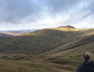
Ben Venue (729m) from Loch Achray
Small in size but big in character!
Moderate Hiking
- Distance
- 13 km
- Ascent
- 735 m
- Descent
- 734 m
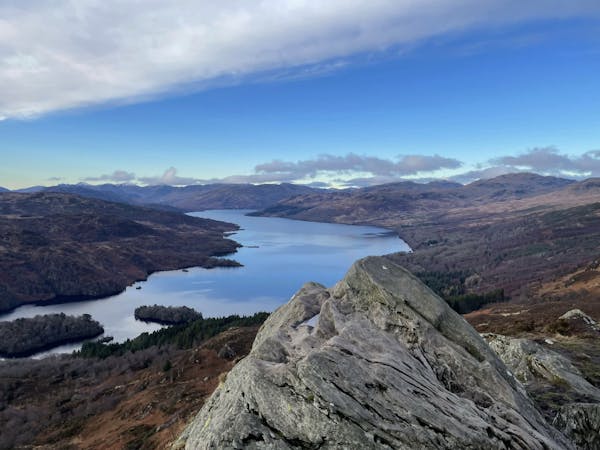
The miniature mountain offering big views!
Hiking Moderate

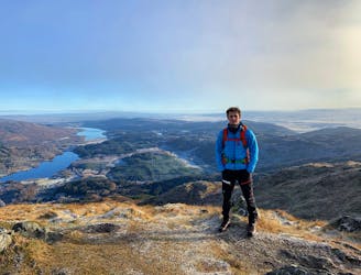
Ben A'an (454m) is a hill situated in the Loch Lomond and Trossachs National Park. The hill itself is often referred to as ‘the mountain in miniature’ for it’s pointed peak. Very popular with tourists as this short walk provides excellent views being close to Glasgow. A great little trip out for those with families or those looking to catch a glimpse of the beautiful Scottish scenery without having to put in a major trek.
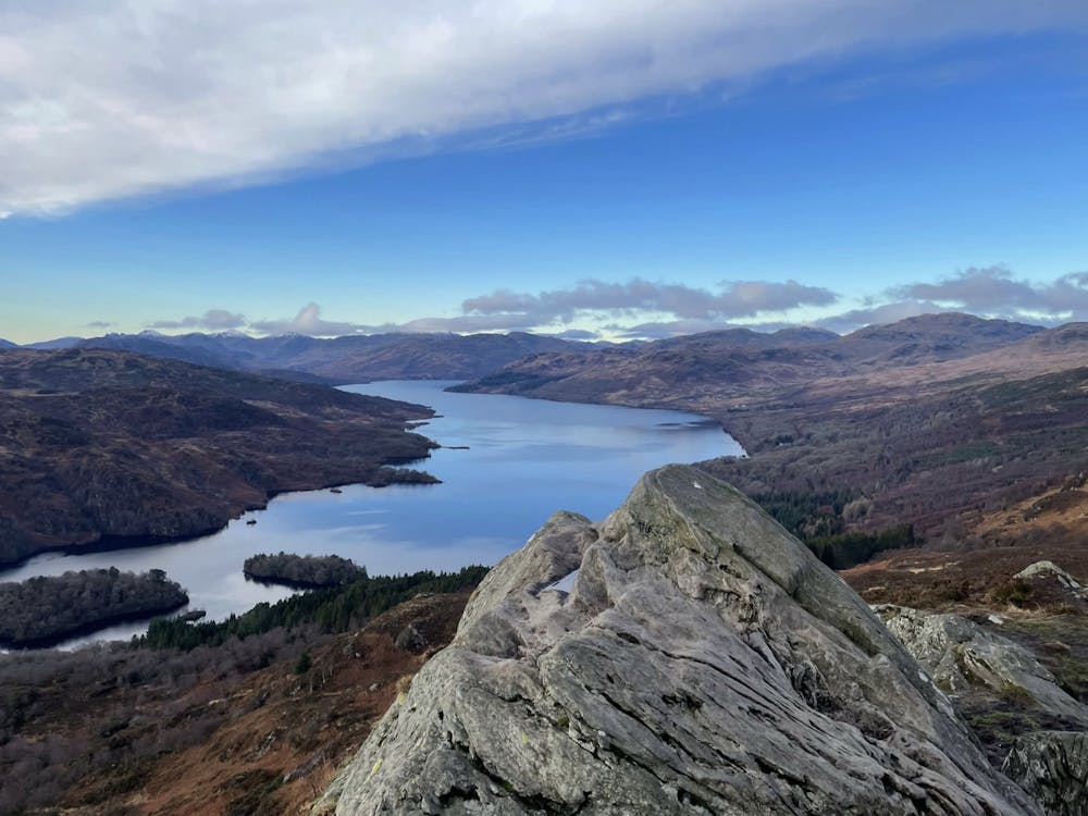
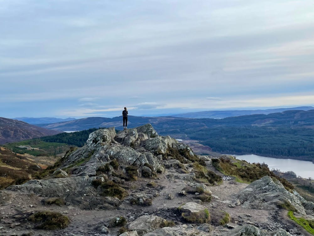
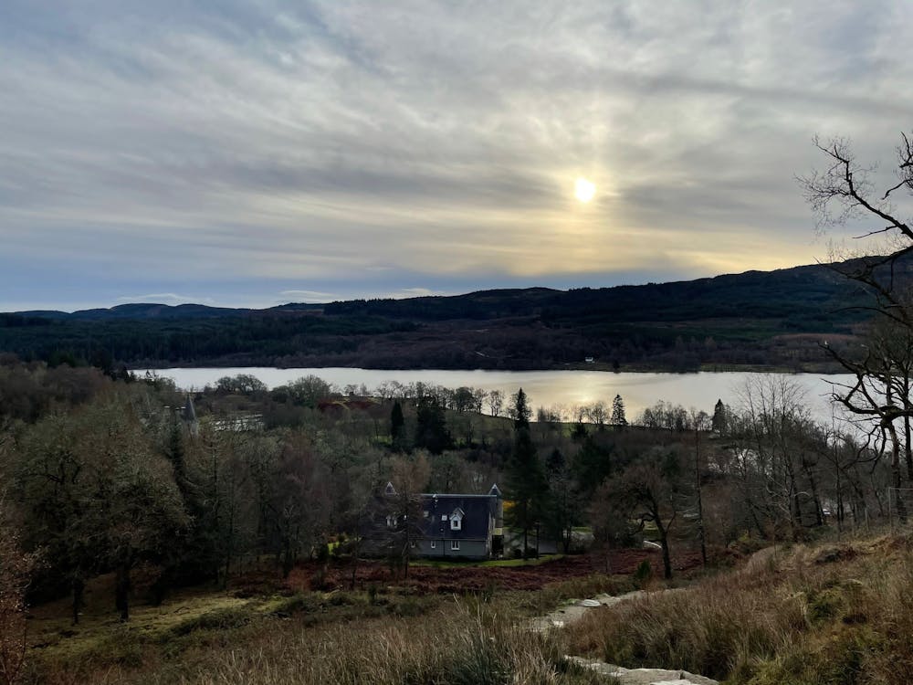
The car park gets full very quickly in the summer, so it’s suggested to arrive early and grab a space. Cross the road and head up the track that follows a woodland. The path is still somewhat steep but offers scenic views of nearby areas. Continue up and out of the forest to admire the peak of Ben A’an. You may witness climbers ascending the terrain nearby with ropes and harnesses. Make your way up to the summit to admire the great views of Loch Katrine and the Southern Highlands of Scotland. After a selfie and sandwich, retrace your steps back down to the car park.
This hike and guide were completed during summer weather conditions. This is just one opinion of this route. Make sure to do your own research by consulting local internet resources, mountain guides or guidebooks to evaluate other opinions so you can be best prepared for the terrain.
A Guide by Red
Moderate
Hiking along trails with some uneven terrain and small hills. Small rocks and roots may be present.

The trail contains some obstacles such as outcroppings and rock which could cause injury.
Away from help but easily accessed.
435 m away
Small in size but big in character!
Moderate Hiking
8 km away
A popular hike in a romantic landscape
Difficult Hiking
12 routes · Hiking