751 m away
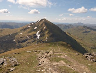
Ben More and Stob Binnein
Bag a couple of scenic munros just above Crianlarich
Difficult Hiking
- Distance
- 12 km
- Ascent
- 1.3 km
- Descent
- 1.3 km
A long ascent to reach the Loch Lomond and Trossach's highest peak!
Hiking Difficult

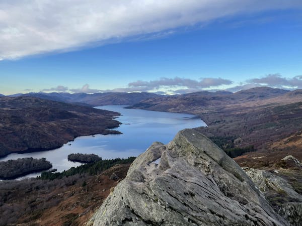
Ben More (Scottish Gaelic: A' Bheinn Mhòr, meaning "the great mountain") is a Scottish Munro in the southern Highlands of Scotland. Ben More is the highest peak in the Loch Lomond and The Trossachs National Park with fantastic views (if the mountain God’s play nicely with the weather) and is separated from Stob Binnein (1,165 m) by the Bealach-eadar-dha Beinn, meaning "col between two hills".
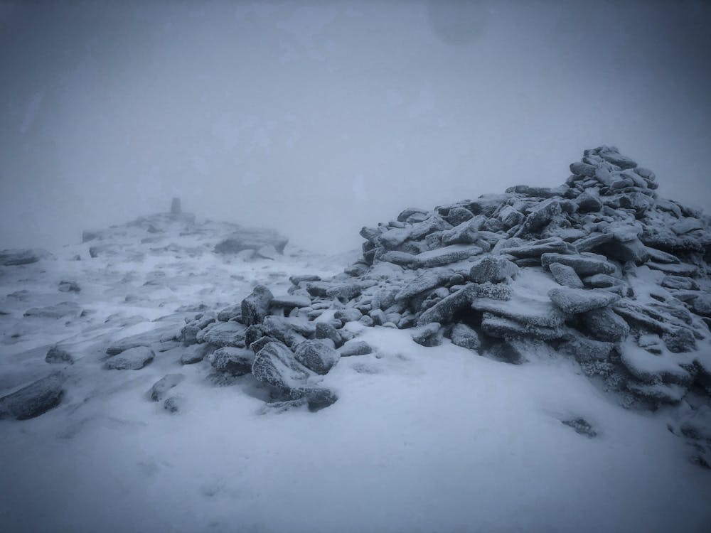
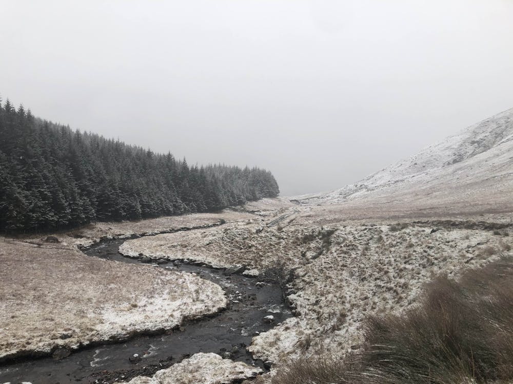
Park in one of the laybys on the road. The initial start of the climb takes you through some soggy and boggy terrain with awkward paths and even more awkward fence crossings. Unfortunately, if you’re not one for enjoying steep, relentless ascents, it doesn't get any better. The climb feels like it will never end with numerous false summits on the approach to the top. If the God’s of the mountain are arguing, be prepared for some brutal weather as this open terrain bares the full force of wind, rain, and snow (depending on weather conditions of course). Nearer the summit the ground underfoot becomes rockier and steeper surrounded by dangerous terrain if the path is lost. Descend off the southern side of Ben More’s summit, traverse the Bealach-eadar-dha Beinn to ascend onto Stob Binnein. Retrace your steps back down to the saddle to descend the western face. Once deep into the Glen, trudge back following the GPX file and path to end up back at the layby.
This hike and guide were completed during winter weather conditions. This is just one opinion of this route. Make sure to do your own research by consulting local internet resources, mountain guides or guidebooks to evaluate other opinions so you can be best prepared for the terrain.
A Guide by Red
Difficult
Hiking trails where obstacles such as rocks or roots are prevalent. Some obstacles can require care to step over or around. At times, the trail can be worn and eroded. The grade of the trail is generally quite steep, and can often lead to strenuous hiking.

The trail contains some obstacles such as outcroppings and rock which could cause injury.

Little chance of being seen or helped in case of an accident.
751 m away
Bag a couple of scenic munros just above Crianlarich
Difficult Hiking
9.5 km away
One of the easiest-to-reach Scottish natural landmarks is a beautiful sight
Easy Hiking
12 routes · Hiking