751 m away
Ben More (1,174m) and Stob Binnein (1,165m)
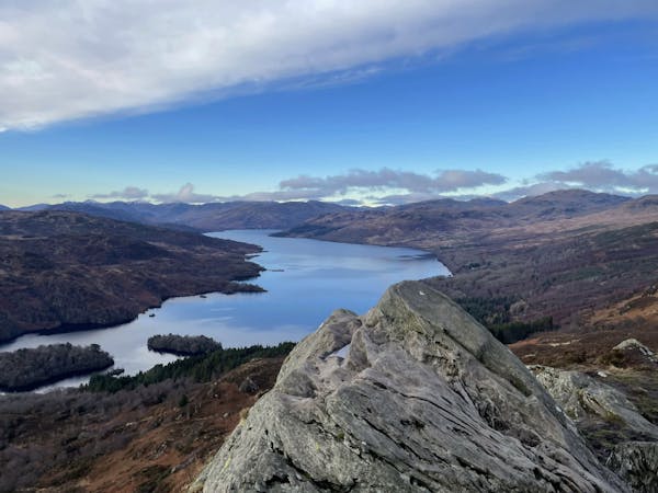
A long ascent to reach the Loch Lomond and Trossach's highest peak!
Difficult Hiking
- Distance
- 12 km
- Ascent
- 1.5 km
- Descent
- 1.5 km
Bag a couple of scenic munros just above Crianlarich
Hiking Difficult

Some of Scotland's 282 munros (mountains over 3,000 feet (914.4 m)) are in remote parts of the country, accessible only for the most dedicated of peak baggers, and others - like these 2 mountains - are easily accessed and relatively straightforward. This hike is still exceptionally scenic, just not quite as wild as some of the other munro trips.
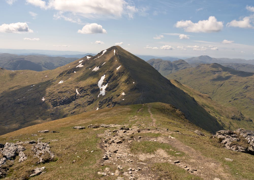
Ben More is the highest mountain in the area, standing at 1174 meters (3841 feet) tall. It is located in the northern end of the Trossachs National Park and is easily recognisable for its distinctive shape and steep slopes.
Stob Binnein, located just to the south of Ben More, is the second-highest peak in the area, standing at 1165 meters (3822 feet) tall. It is also a popular hiking destination, and many walkers choose to climb both Ben More and Stob Binnein in a single day, and it's how we'd recommend doing them.
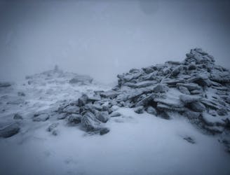
The hiking trail to Ben More and Stob Binnein starts at the car park near the entrance to Benmore Farm, and it's a challenging hike with no technical difficulty, but some tough inclines! The trail follows a steep path that can be rocky and slippery in places, but the stunning views from the summits are well worth the effort. The ridge between the 2 mountains is particularly wonderful, and must be one of the most beautiful easy ridges in Scotland.
The descent, down into and then along the bucolic valley west of the peaks is lovely too, so the only "chore" on the whole trip is the brief road section at each end.
Difficult
Hiking trails where obstacles such as rocks or roots are prevalent. Some obstacles can require care to step over or around. At times, the trail can be worn and eroded. The grade of the trail is generally quite steep, and can often lead to strenuous hiking.

The trail contains some obstacles such as outcroppings and rock which could cause injury.

Little chance of being seen or helped in case of an accident.
751 m away
A long ascent to reach the Loch Lomond and Trossach's highest peak!
Difficult Hiking
12 routes · Hiking