5 km away
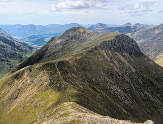
Buachaille Etive Mor
This is a classic route on one of Scotland's most famous mountains in a glorious setting.
Difficult Hiking
- Distance
- 9.7 km
- Ascent
- 794 m
- Descent
- 794 m
It's no munro but it packs a punch!
Hiking Moderate

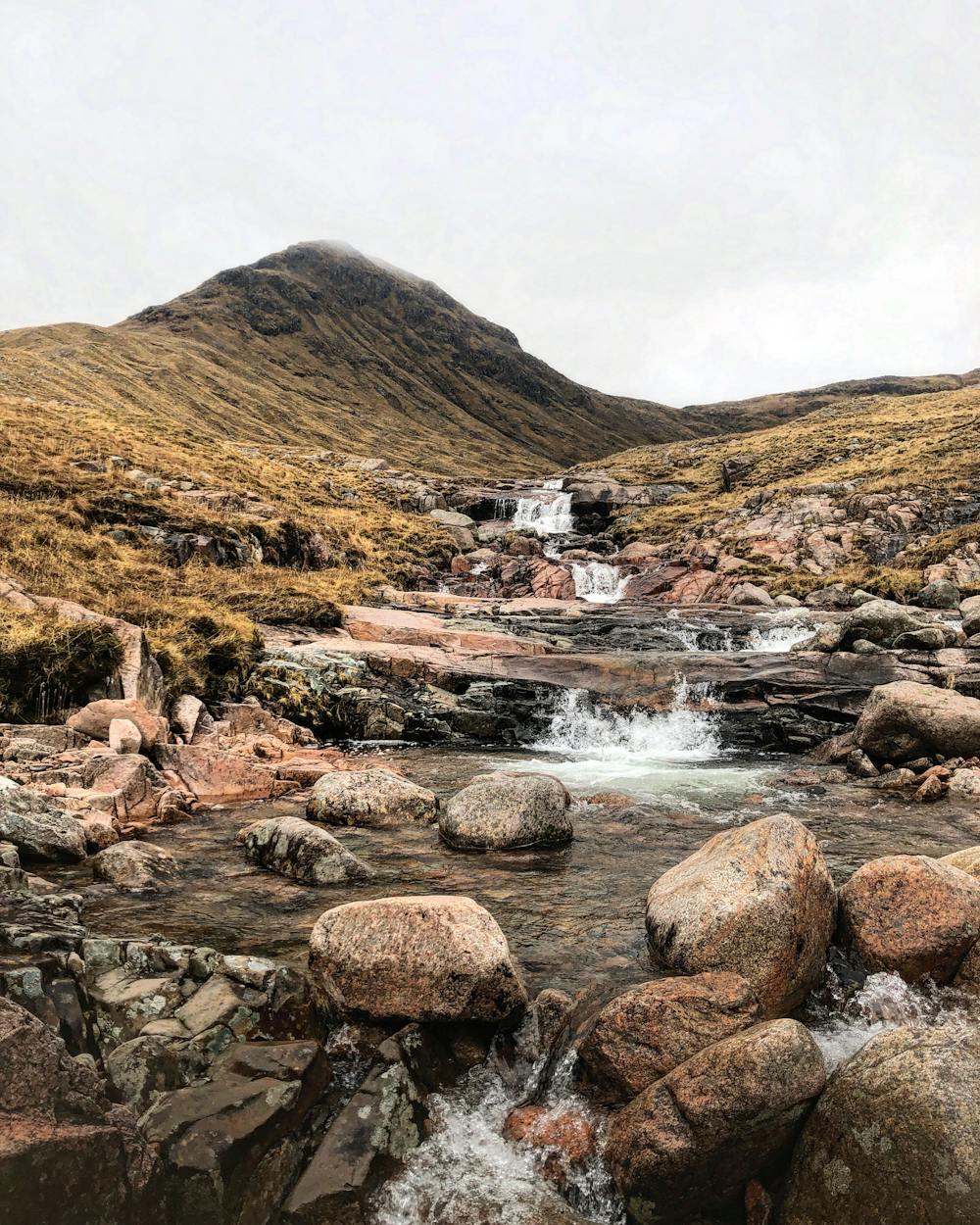
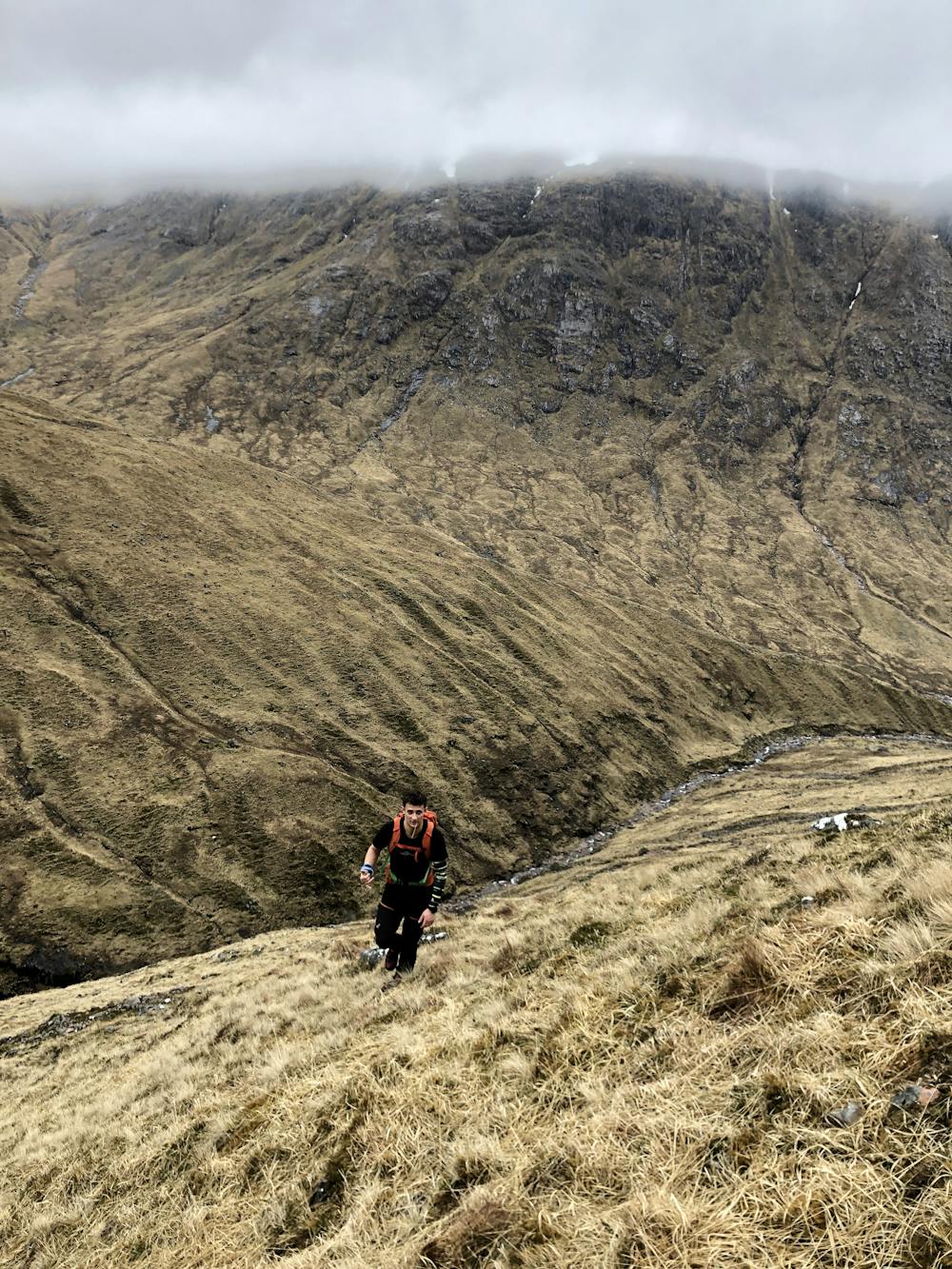
"Though dwarfed by the higher peaks around it, Beinn Mhic Chasgaig concedes nothing to its grander neighbours. This very steep hill is well defended by craggy slopes. The ascent here approaches along a dramatic gorge. The route involves a crossing of the Allt Coire Ghiubhasan which may be impossible in spate."
Source: https://www.walkhighlands.co.uk/fortwilliam/beinn-mhic-chasgaig.shtml
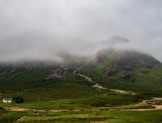
Steep, boggy and off the beaten path (mostly), much like the rest of the lesser hiked mountains around Beinn Mhic Chasgaig. Apart from the flashy tourist cars going by at the carpark, don't expect to see many humans on this particular hike.
This hike and guide was completed during summer weather conditions.
Moderate
Hiking along trails with some uneven terrain and small hills. Small rocks and roots may be present.

The trail contains some obstacles such as outcroppings and rock which could cause injury.

Little chance of being seen or helped in case of an accident.
5 km away
This is a classic route on one of Scotland's most famous mountains in a glorious setting.
Difficult Hiking
5.1 km away
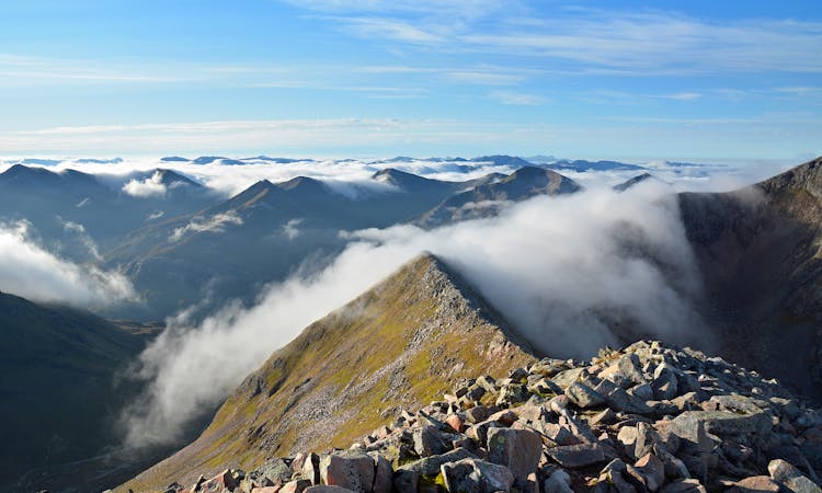
Glen Coe's highest peak, Bidean nam Bian, forms the apex of a complex and majestic massif of several sharp summits, with chiselled crests and deep-gouged corries walled by an impressive array of crags.
Extreme Hiking
5.6 km away
A Glencoe classic that provides a truly Scottish adventure!
Extreme Hiking
7.2 km away
There's a lot to be said for this fairly short stage of the West Highland Way.
Difficult Hiking
8 routes · Hiking