9.8 km away
Ben Lui (1,130m) and Beinn a’Chlèibh (916m)
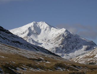
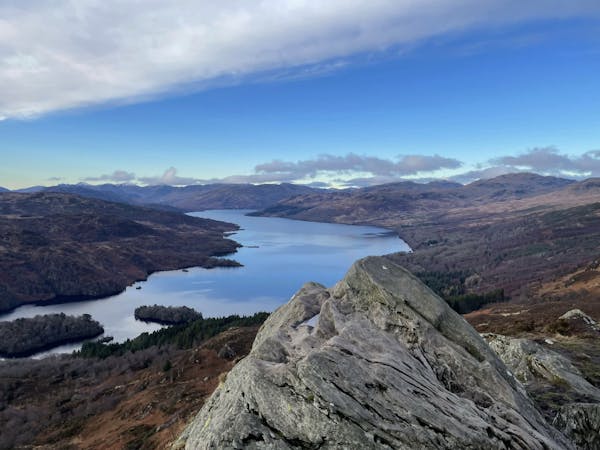
A grand mountain for a grand adventure!
Difficult Hiking
- Distance
- 10 km
- Ascent
- 1.1 km
- Descent
- 1.1 km
Beinn Bhuide (The Yellow Hill) 3,110ft
Hiking Difficult

This is a popular hiking route which is generally considered to be difficult. It's remote, it features high exposure and is typically done in undefined. From a low point of 546 m to the maximum altitude of 944 m, the route covers 4.5 km, 402 vertical metres of ascent and 403 vertical metres of descent.
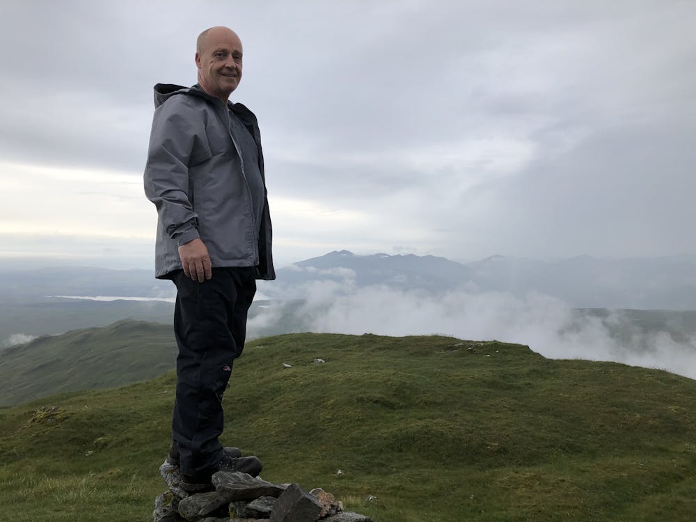
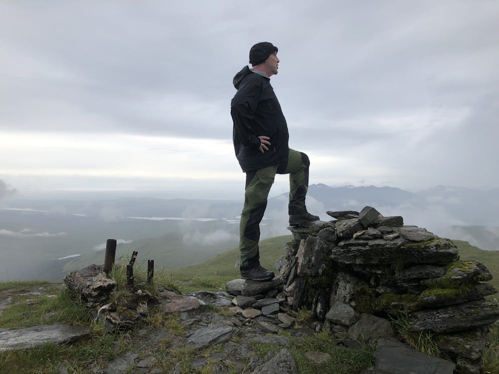
Beinn Bhuidhe is a Munro isolated from any others, and the long walk in means it is much less visited than the nearby Arrochar Alps.
Difficult
Hiking trails where obstacles such as rocks or roots are prevalent. Some obstacles can require care to step over or around. At times, the trail can be worn and eroded. The grade of the trail is generally quite steep, and can often lead to strenuous hiking.

Some trail sections have exposed ledges or steep ascents/descents where falling could cause serious injury.

Away from help but easily accessed.
9.8 km away
A grand mountain for a grand adventure!
Difficult Hiking
12 routes · Hiking