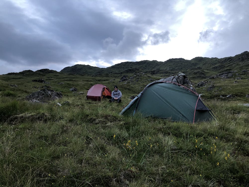
Loch Fyne to Camp Site
Hike through Glen Fyne to Camp Site.
Hiking Easy
- Distance
- 11 km
- Ascent
- 598 m
- Descent
- 55 m
- Duration
- 3-4 hrs
- Low Point
- 2 m
- High Point
- 547 m
- Gradient
- 13˚

This is a popular hiking route which is generally considered to be easy. It's not remote, it features high exposure and is typically done in undefined. From a low point of 2 m to the maximum altitude of 547 m, the route covers 11 km, 598 vertical metres of ascent and 55 vertical metres of descent.
Description
Approach is on tarmac and rough tracks
Difficulty
Easy
Walking along a well-kept trail that’s mostly flat. No obstacles are present.
High Exposure

Some trail sections have exposed ledges or steep ascents/descents where falling could cause serious injury.
Remoteness

Close to help in case of emergency.
Best time to visit
Features
- Wildlife
- Picturesque
- Wild flowers
- Water features
- Forestry or heavy vegetation