4.7 km away
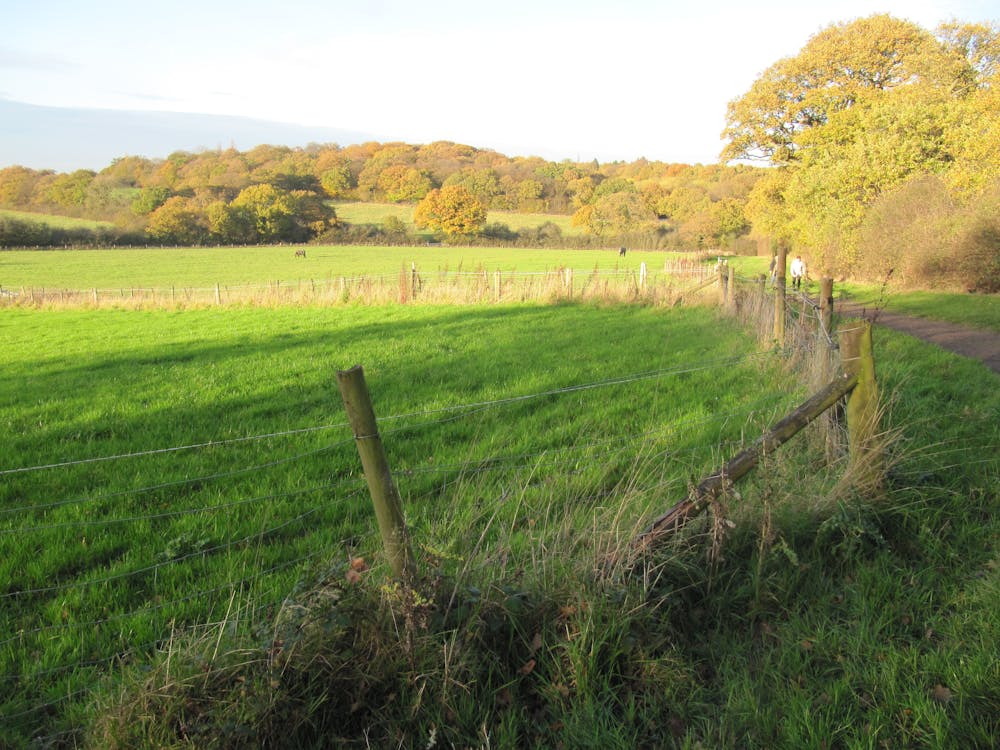
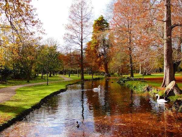
Aldenham Country Park and Reservoir

A lovely stroll around a peaceful lake
Easy Hiking
- Distance
- 3.6 km
- Ascent
- 31 m
- Descent
- 31 m
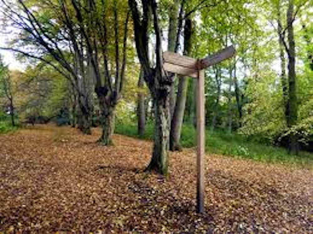
This pleasant walk takes you from Mill Hill near Edgware in North London to the edge of Hampstead Heath along the Dollis Brook. You will pass through Scratchwood and Moat Mount Open Space and the Totteridge Fields Nature Reserve on this flat easy walk through North London.
Hiking Moderate

This is a popular hiking route which is generally considered to be moderate. It's an unknown remoteness, it features unknown exposure and is typically done in an unknown time of year. From a low point of 48 m to the maximum altitude of 128 m, the route covers 15 km, 119 vertical metres of ascent and 131 vertical metres of descent.
Moderate
Hiking along trails with some uneven terrain and small hills. Small rocks and roots may be present.
4.7 km away
A lovely stroll around a peaceful lake
Easy Hiking
6.7 km away
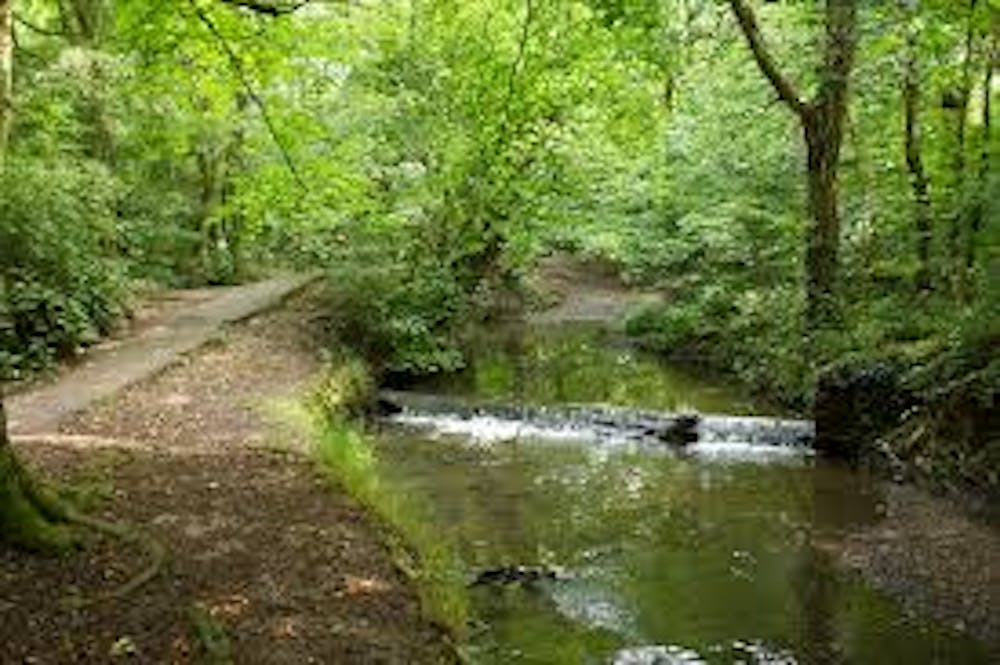
Follow the Pymmes Brook Trail through North London on this pleasant walk.
Moderate Hiking
9.9 km away

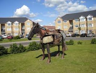
A stroll around Hampstead Heath and surrounding historical gems, including a very famous pub.
Easy Hiking
5 routes · Hiking
4 routes · Hiking