10 routes · Trail Running
Take a trail through southeast London's largest nature pocket.
Trail Running Easy

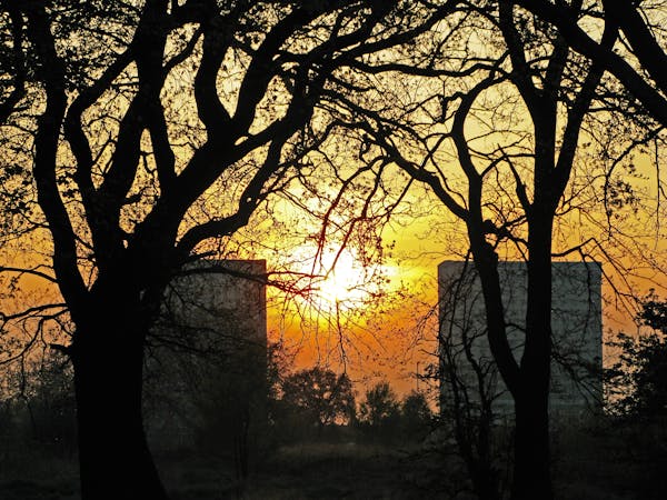
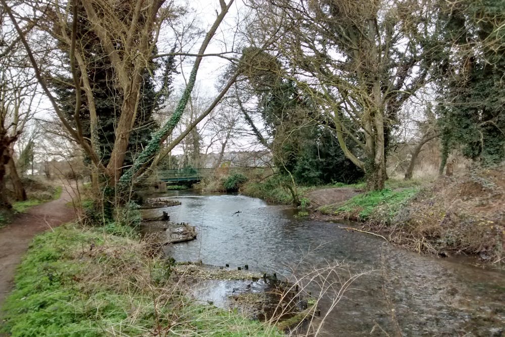
Amidst 240 acres of nature at the foot of London you’ll find the Foots Cray Meadows. Foots Cray Meadows is a local nature reserve of meadows and woodland, sliced through the middle by the River Cray.
Amenities like free parking, toilets, showers, and nearby cafes make it ideal for a weekend run on the paths that wind through the largest green space in the area.
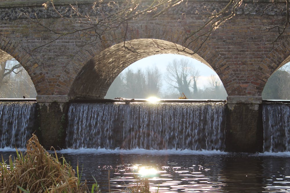
The run begins on the grassy Royal Park to the north of the meadows at the children’s playground, making it a superb place to bring the family along. It courses a predominantly flat dual-looped route sticking to the north side of the river. Sights along the run include the All Saints Church and the famous five arches bridge, built in the 18th century.
The nearest station is Albany Park, which is half a mile walk to the start of the trail. Buses can also get you there. If you go by car, use the postcode DA14 5ET and park at Kelsey’s Farm Shop. From here, it’s a ten-minute walk to the start as well as a place for post-run coffee with friendly parkrunners on a Saturday morning.
For more details on how to get there or to register to parkrun and download your timing barcode, go to https://www.parkrun.org.uk/footscraymeadows/
Note: Friends of Foots Cray Meadows hold tree planting days for conservation and regeneration of the area. If you would like to get involved, you can find more information at http://www.footscraymeadows.org/page4.htm
Sources: https://designatedsites.naturalengland.org.uk/ http://www.footscraymeadows.org/page4.htm
Easy

The path is on completely flat land and potential injury is limited to falling over.
Close to help in case of emergency.
10 routes · Trail Running