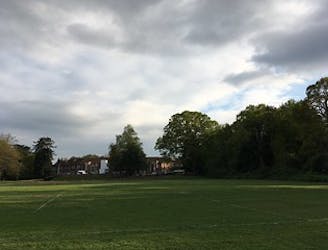
5.1 km away
Roundshaw Downs Parkrun
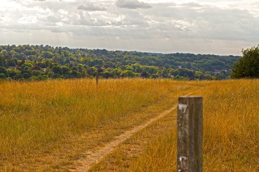
Enjoy a spot of birdwatching as you run on this grassy loop just outside of London's CBD.
Easy Trail Running
- Distance
- 2.9 km
- Ascent
- 34 m
- Descent
- 34 m
A cross-country loop with an ancient history.
Trail Running Easy

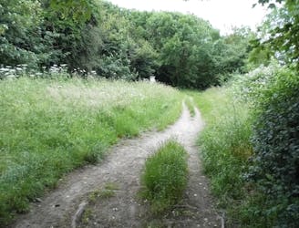
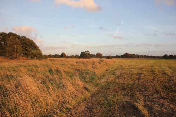
Discoveries of Neolithic tools and traces of Iron Age fields dating back thousands of years give Riddlesdown its ancient history charm. Now the 32-hectare site is of special scientific interest with a chalk grassland rich in herbs and native wildlife and a selection of gentle trails to explore. There are several rare orchids growing in the Downs that are specific only to this small area.
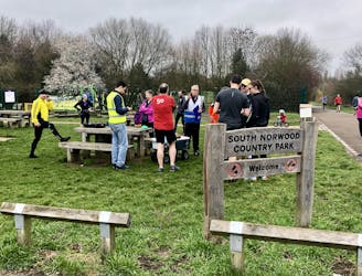
The course flows in a clockwise direction for two laps of the flattest portion of the park. Begin beside the old chalk quarry near the green fence and finish near the Tithe Pit Shaw Lane entrance. The terrain includes a mixture of gravel and grass. Stick to the paths and out of the long grass where the skylarks tend to nest.
You can get there by train, getting off at Whyteleafe or Upper Warlingham station. The 407 and 403 busses can also take you there, and if you’re coming by car, there’s a car park at Warlington School, opposite the school fields and astroturf.
Enjoy a post-run coffee at the White Lion with a crew of friendly parkrunners if you're there for the 9am timed run held every Saturday.
For more information or to register for parkrun and download a barcode, go to https://www.parkrun.org.uk/riddlesdown/
Sources: https://www.croydon.gov.uk/ https://www.cityoflondon.gov.uk/things-to-do/green-spaces/city-commons/riddlesdown/Pages/default.aspx
Easy

The path is on completely flat land and potential injury is limited to falling over.
Close to help in case of emergency.
5.1 km away
Enjoy a spot of birdwatching as you run on this grassy loop just outside of London's CBD.
Easy Trail Running
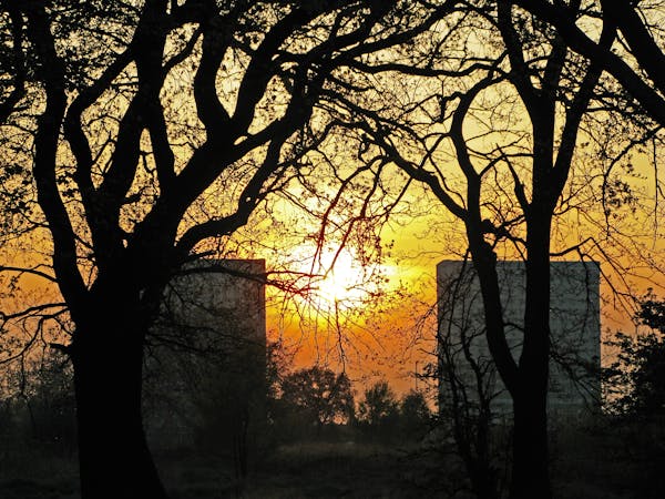
8 km away
A trail run through classic English meadows, on the grounds of history’s most notorious asylum.
Easy Trail Running
8.4 km away
Butterflies and birdlife accompany you on an easy trail run in Croydon.
Easy Trail Running
10 routes · Trail Running
4 routes · Trail Running