2.6 km away
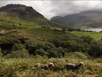
Yewbarrow and Pillar Circle
Climb several notable Lake District Peaks in one day: Yewbarrow, Red Pike, Scoat Fell and Pillar.
Extreme Hiking
- Distance
- 17 km
- Ascent
- 1.2 km
- Descent
- 1.2 km
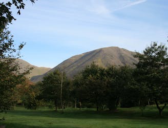
Greendale - Middle Fell - Seatallan - Buckbarrow - Greendale
Hiking Moderate

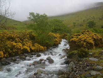
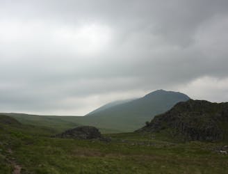
This is a popular hiking route which is generally considered to be moderate. It's very remote, it features medium exposure and is typically done all year round. From a low point of 74 m to the maximum altitude of 690 m, the route covers 8.9 km, 736 vertical metres of ascent and 736 vertical metres of descent.
Greendale - Middle Fell - Seatallan - Buckbarrow - Greendale
Moderate
Hiking along trails with some uneven terrain and small hills. Small rocks and roots may be present.

The trail contains some obstacles such as outcroppings and rock which could cause injury.

Little chance of being seen or helped in case of an accident.
2.6 km away
Climb several notable Lake District Peaks in one day: Yewbarrow, Red Pike, Scoat Fell and Pillar.
Extreme Hiking
4.2 km away
This is a fantastic circuit around the head of Wasdale on generally quiet fells, Great Gable being the obvious exception, with equally fantastic views both towards Lakeland and out across the Irish Sea.
Difficult Hiking
4.2 km away
An exciting loop taking in both Scafell and Scafell Pike
Severe Hiking
7.7 km away
Taking in the major fells that ring the head of Eskdale, this round includes many of the highest, most interesting and most popular peaks in England, allowing the walker to fully enjoy this wonderful corner of the Lake District.
Severe Hiking

5 routes · Hiking

18 routes · Alpine Climbing · Hiking

7 routes · Hiking