6.6 km away
Scafell Double Dose
An exciting loop taking in both Scafell and Scafell Pike
Severe Hiking
- Distance
- 18 km
- Ascent
- 1.3 km
- Descent
- 1.3 km
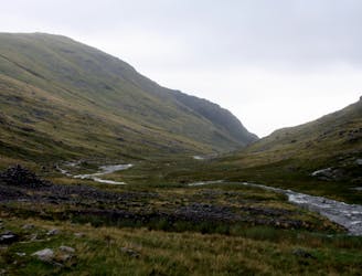
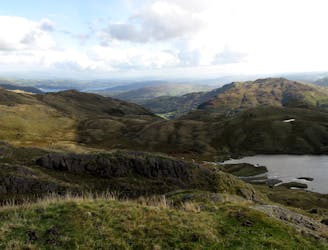
Taking in the major fells that ring the head of Eskdale, this round includes many of the highest, most interesting and most popular peaks in England, allowing the walker to fully enjoy this wonderful corner of the Lake District.
Hiking Severe

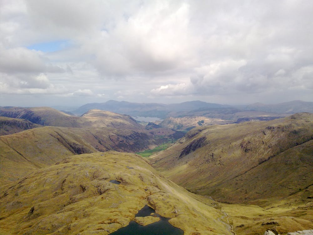
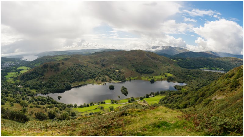
Upper Eskdale is one of the most beautiful valleys in the Lake District, but is thankfully left relatively remote and serene. Though Scafell Pike is crowded, most people ascending to the roof of England will do so from Wasdale or Borrowdale, thus not appreciating the magnificent valley to the south-east. Taking in the major fells that ring the head of Eskdale, this round includes many of the highest, most interesting and most popular peaks in England, allowing the walker to fully enjoy this wonderful corner of the Lake District. It makes a lovely two-dayer, but could also be done in one relatively long day.
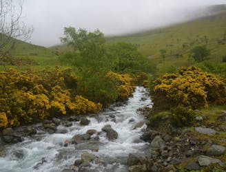
From the small car park at Brotherilkeld, head northwards on the track past a farm before crossing a bridge over the River Esk. Follow the path uphill to Taw House, then take the path which traverses the hillside before climbing relatively steeply uphill.
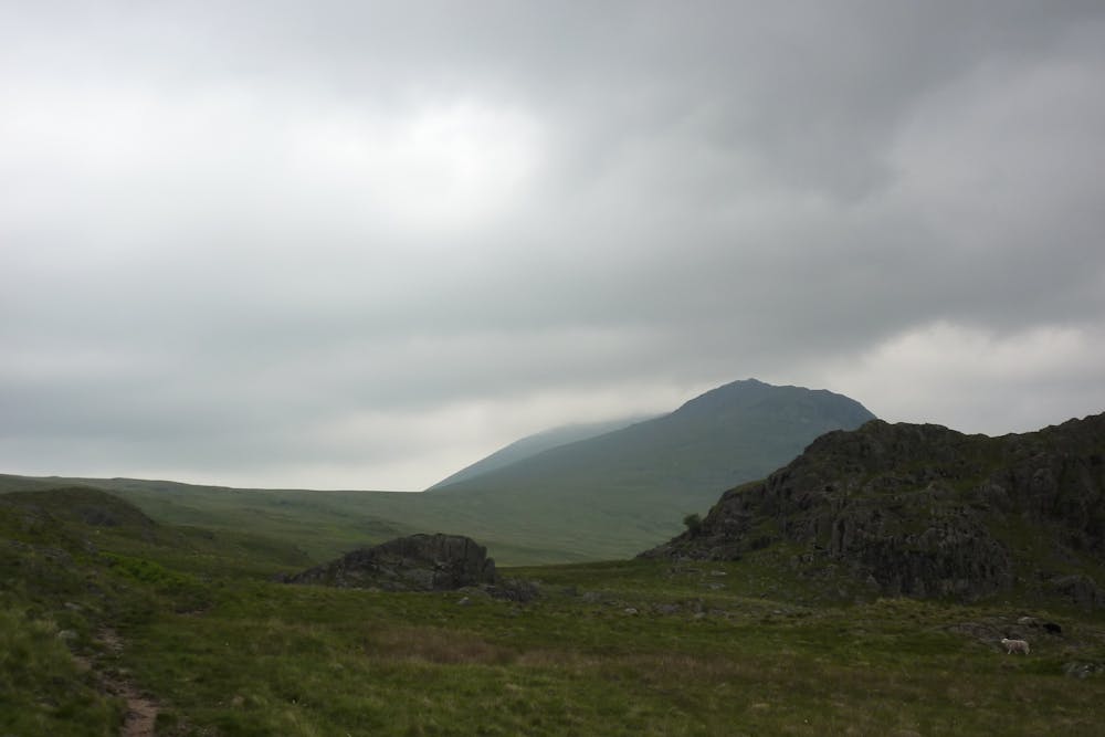
At the intersection with another path, continue northwards before ascending Slight Side, with a steep pull up to the top.
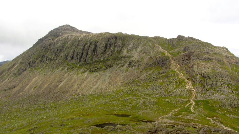
From Slight Side, continue up the ridge onto Scafell, which is a fantastic summit, upon which you are far more likely to find solitude than its larger neighbour.
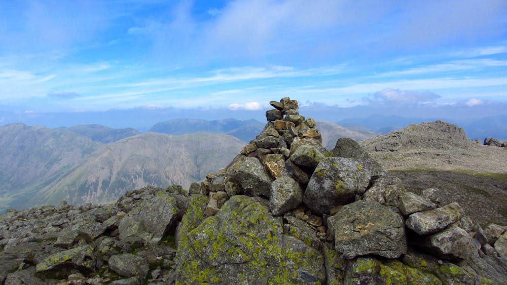
It is well worth taking a slight detour to Symonds Knott for the commanding position it has over Mickledore. The safest way down to Mickledore, especially with a heavy pack, is via Foxes Tarn. Retrace your steps from Symonds Knot and pick up the path that heads south-east to a small tarn. From here the path curves round the base of the crags and reascends up to the gap. Take care on the descent to Foxes Tarn especially, as there is a lot of loose rock. From Mickledore, follow the path up to the summit of Scafell Pike.
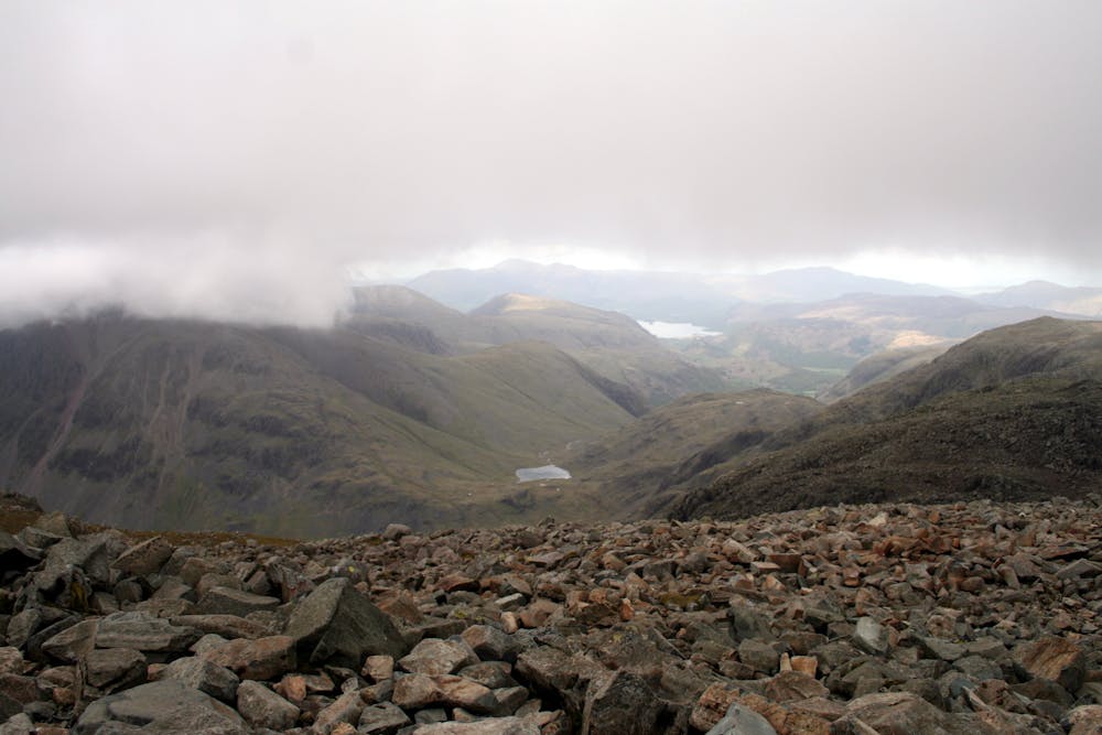
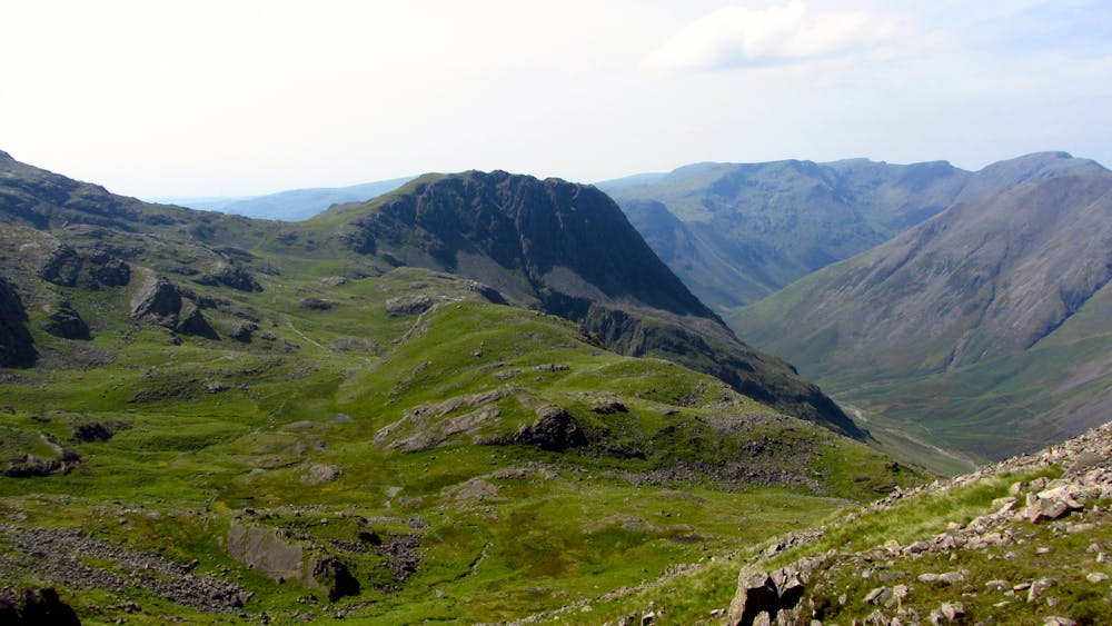
The broad ridge from Scafell Pike to Great End is a good one, with the tops of Broad Crag and Ill Crag, which are worth a visit, lying slightly off the path. The terrain is pretty bouldery, so be careful when straying off the path. An ascent of Great End is also worth doing, particularly as it lies off the main path. Take the left fork and continue to the top. Another path leads down to Esk Hause.
If splitting the trip into two days, Esk Hause is a good place to camp. It can get windy though, so choose a spot either side of the main col, depending on the conditions. Camping just to the south, by the Tongue gives a great view of Upper Eskdale and there are a couple of small streams. From Esk Hause, follow the ridge to the summit of Esk Pike and continue down the other side to Ore Gap. For a bad weather escape route, a path leads from here down to Eskdale.
The next peak is Bowfell, which has a particularly entertaining summit which can be accessed by following the main ridge. Continue over this and down to Three Tarns, which provides another escape route.
Crinkle Crags provides a great kilometre-and-a-half of ridge walking and easy scrambling. There is one slightly tricky descent, but it's easily avoidable and isn't too exposed in any case.
From the final Crinkle, retrace your steps slightly to find a small path heading into the valley on a bearing of 240 past Adam-a-Cove. Upon reaching a small col, head down to Lingcove Beck and take up the path following the river to the confluence with the Esk, and then down back to Brotherilkeld.
© r.robson - UKHillwalking.com, June 2013
Severe
Hiking challenging trails where simple scrambling, with the occasional use of the hands, is a distinct possibility. The trails are often filled with all manner of obstacles both small and large, and the hills are very steep. Obstacles and challenges are often unexpected and can be unpredictable.
6.6 km away
An exciting loop taking in both Scafell and Scafell Pike
Severe Hiking
6.6 km away
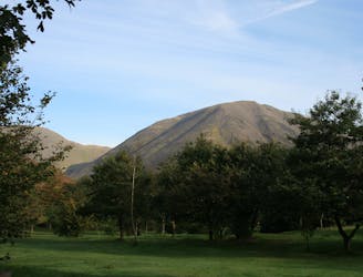
This is a fantastic circuit around the head of Wasdale on generally quiet fells, Great Gable being the obvious exception, with equally fantastic views both towards Lakeland and out across the Irish Sea.
Difficult Hiking
6.8 km away
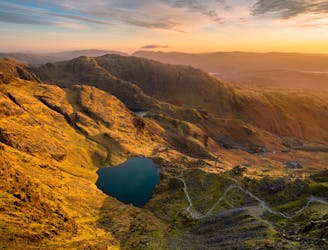
Climb several notable Lake District Peaks in one day: Yewbarrow, Red Pike, Scoat Fell and Pillar.
Extreme Hiking
8.8 km away
This Cumbrian crowd-pleaser is an oldie, but a goodie.
Severe Hiking
9.1 km away
Hike one of the Lake District's most iconic mountains and pass a spectacular crag en route
Difficult Hiking
9.6 km away
This stern, stony mountain sprawls over a large area, its many impressive corners offering some of the grandest mountain scenery in the Lake District.
Difficult Hiking
9.8 km away
This classic route has it all and is justly popular but don’t let the crowds put you off; wait until later in the day and there’s a good chance you’ll have it to yourself!
Extreme Hiking

9 routes · Hiking

5 routes · Hiking

18 routes · Alpine Climbing · Hiking
5 routes · Hiking

7 routes · Hiking